Engadina: giro delle valli
Giro potente ma divertente
Mountain Biking Moderate
- Distance
- 61 km
- Ascent
- 1.3 km
- Descent
- 1.3 km
- Duration
- 5-6 hrs
- Low Point
- 1.7 km
- High Point
- 2.2 km
- Gradient
- 9˚

This is a popular mountain biking route which is generally considered to be moderate. It's not remote, it features low exposure and is typically done between July and October. From a low point of 1.7 km to the maximum altitude of 2.2 km, the route covers 61 km, 1309 vertical metres of ascent and 1309 vertical metres of descent.
Description
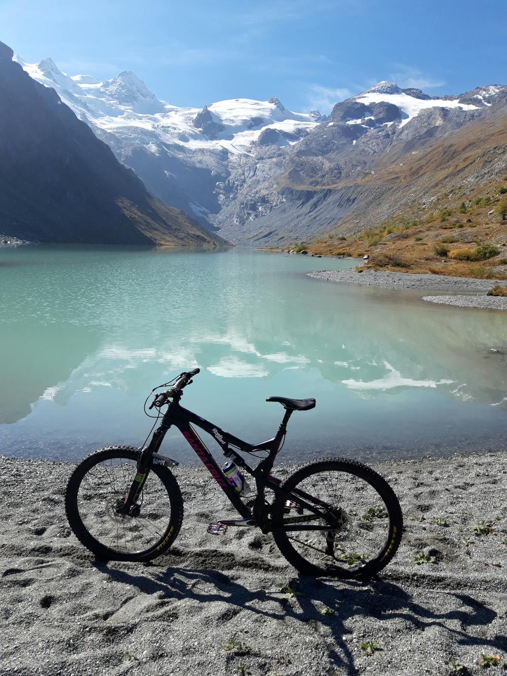
giro spettacolare tra la Val Roseg, la Valle del Morteratsch e alcuni laghi dell'Engadina tra Pontresina e Sankt Moritz
Difficulty
Moderate
Mostly stable trail tread with some variability, with unavoidable obstacles 8in/20cm tall or less. Other obstacles such as rock gullies and steep sections may exist. Ideal for lower intermediate riders.
Low Exposure

The path is on completely flat land and potential injury is limited to falling over.
Remoteness
Close to help in case of emergency.
Best time to visit
Features
- Flow
- Technical
- Hike a bike
- Picturesque
- Singletrack
- In the forest
- Wet-weather friendly
- Roots
- Rock Gardens