Piz Nair > St Moritz
St Moritz
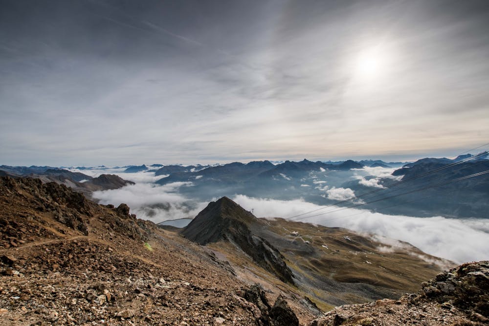
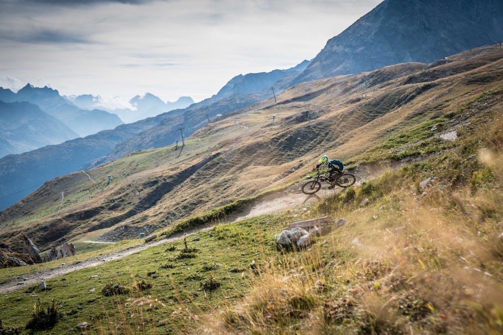
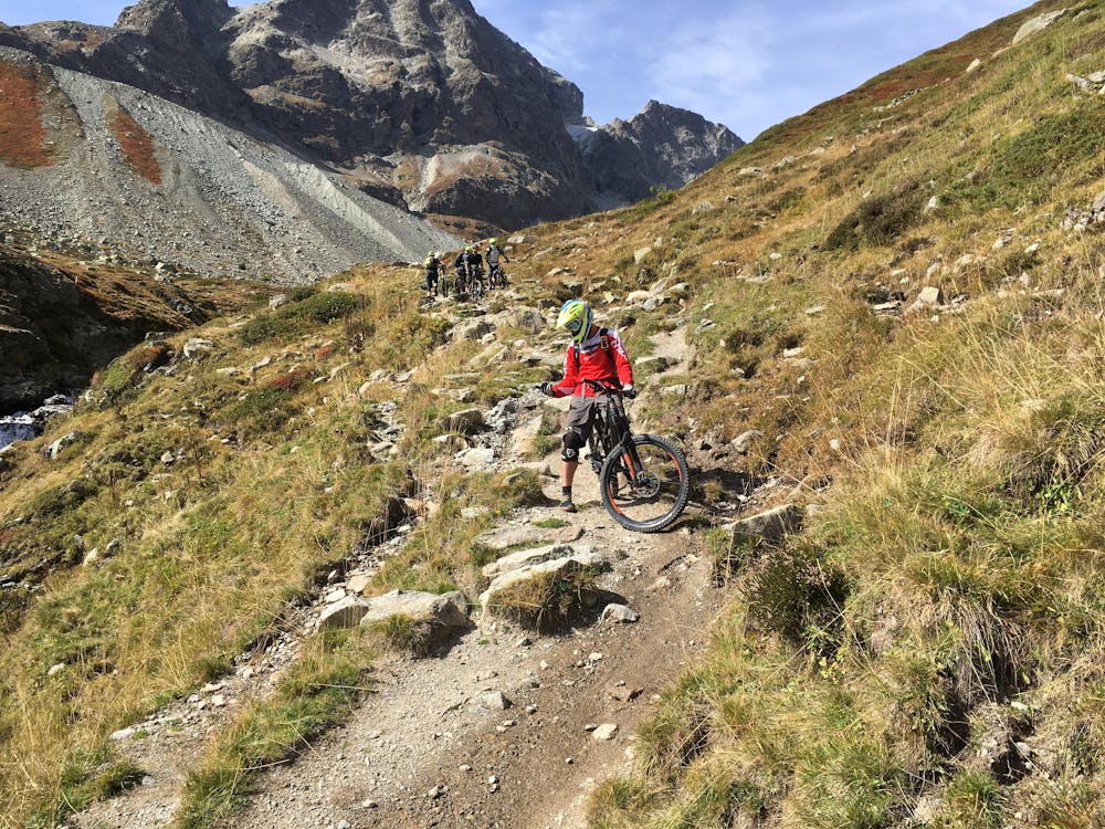
Long, technical trail from the top of Piz Nair
Mountain Biking Severe
- Distance
- 7.1 km
- Ascent
- 1 m
- Descent
- 1.1 km
- Duration
- 0-1 hrs
- Low Point
- 1.9 km
- High Point
- 3 km
- Gradient
- 15˚

This is a popular mountain biking route which is generally considered to be severe. It's an unknown remoteness, it features unknown exposure and is typically done between June and September. From a low point of 1.9 km to the maximum altitude of 3 km, the route covers 7.1 km, 1 vertical metres of ascent and 1143 vertical metres of descent.
- •
- •
- •
Description
Steep and technical descent from the top of Piz Nair, returning to St Moritz
Difficulty
Severe
Widely variable, narrow trail tread with steeper grades and unavoidable obstacles of 15in/38cm tall or less. Obstacles may include unavoidable bridges 24in/61cm wide or less, large rocks, gravel, difficult root sections, and more. Ideal for advanced-level riders.
Best time to visit
Features
- Flow
- Technical
- Road sections
- Drops
- Roots
- Rock Rolls
- Rock Gardens
- Wooden Feature