San Bernardino - Einshorn
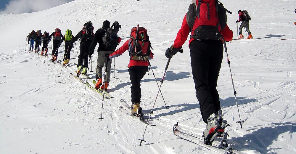
A very long and demanding tour in a beautiful alpine environment that starts from the village of S. Bernardino and reaches the summit of the Einshorn, which dominates the village of Nufenen in an impressive way.
Ski Touring Difficult
- Distance
- 9.1 km
- Ascent
- 1.2 km
- Descent
- 108 m
- Duration
- 5-6 hrs
- Low Point
- 1.6 km
- High Point
- 2.8 km
- Gradient
- 49˚

From the village of S. Bernardino, along the summer path you reach the Cassina de Vignun, which is located at 2115m. Continuing along the summer path you reach the Strec from Vignun. From the top turn north and after a slight climb you reach the ridge I Porton at an altitude of 2480m which is the gateway to the small valley La Valeten. This valley is surrounded by the majestic rocky strip of the Eishorn ridge. You climb the steep slope that in some passages reaches up to 40 ° that leads to the east ridge of the Einshorn. On foot you can then reach the summit.
Difficulty
Difficult
Serious gradient of 30-38 degrees where a real risk of slipping exists.