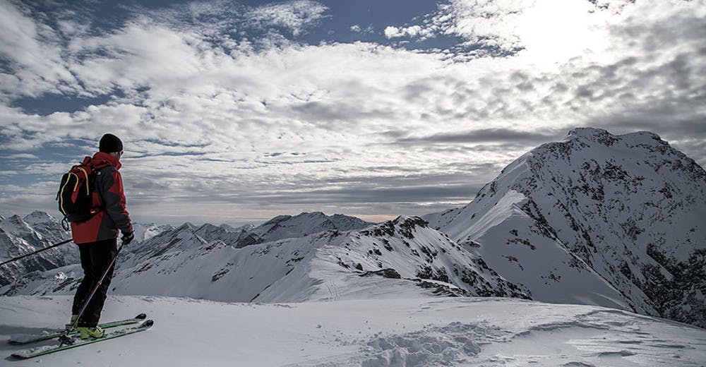
San Bernardino - Piz Cavriola
An evocative itinerary that leads from San Bernardino along the Cassina de Vignun to Piz Cavrriola.
Ski Touring Severe
- Distance
- 5.7 km
- Ascent
- 1.2 km
- Descent
- 12 m
- Duration
- 4-5 hrs
- Low Point
- 1.7 km
- High Point
- 2.8 km
- Gradient
- 49˚

From the village of S. Bernardino, starting Rrom the ski slopes of Pian Cales, following the summer path you reach the Cassina de Vignun. From this point turn slightly to the north and climb on steep slopes between Piz Uccello and Piz Cvriola. From an altitude of 2400m, take the north-east direction for the final slope that leads directly to the western peak of Piz Cavriola.
Difficulty
Severe
Steep skiing at 38-45 degrees. This requires very good technique and the risk of falling has serious consequences.