6.6 km away
Splügen to Innerferrera
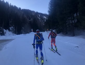
A relatively short but very pleasant day, dipping in and out of Italy
Moderate Ski Touring
- Distance
- 22 km
- Ascent
- 1.7 km
- Descent
- 1.7 km
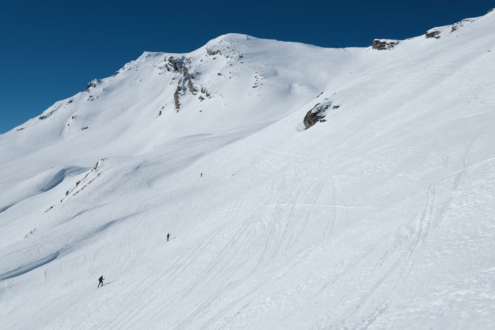
Track to a very panoramic peak offering excellent skiing and some steep sections
Ski Touring Moderate

From Nufenen (recommended to park on the west side of the village) go northwards along the evident ridge that can be covered OR following the bends often well compressed to make the sleds go down, OR going up on the ground to Tallialp. From here bend slightly towards the west, always going up along the ridge if possible, or alternatively going around it from the east side. Reached 2460 go for a wide and long traverse to reach the evident summit (2885). Descent along the ascent route or on the opposite and steeper side that reaches Mittelegga (right orographic side of Alterschbach).
Moderate
Slopes become slightly steeper at around 25-30 degrees.

Exposure is limited to that of the slope itself. Getting hurt is still likely if the slope is steep and/or the snow is hard.
Close to help in case of emergency.
6.6 km away
A relatively short but very pleasant day, dipping in and out of Italy
Moderate Ski Touring