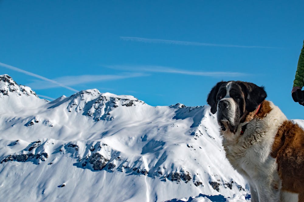
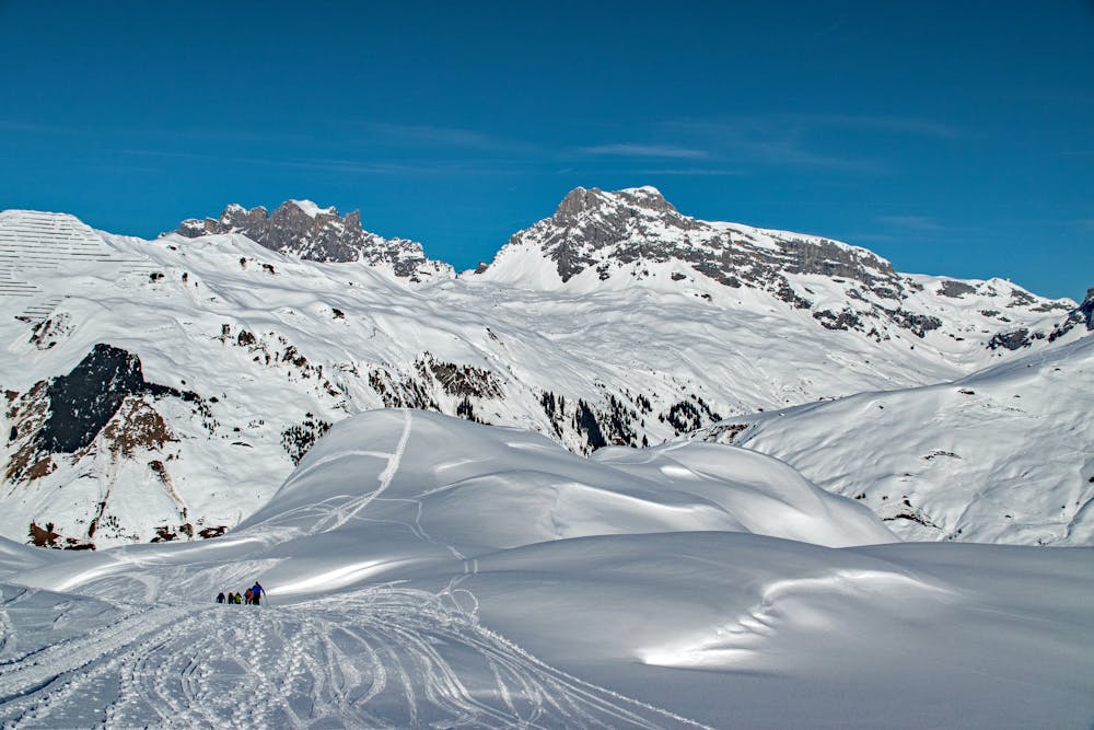
Geisstschuggen snowshoe hike
From Sankt Antönien to the Geisstschuggen at the feet of the Madrisa group
Snow Shoeing Moderate
- Distance
- 8.8 km
- Ascent
- 827 m
- Descent
- 865 m
- Duration
- 3-4 hrs
- Low Point
- 1.5 km
- High Point
- 2.3 km
- Gradient
- 34˚

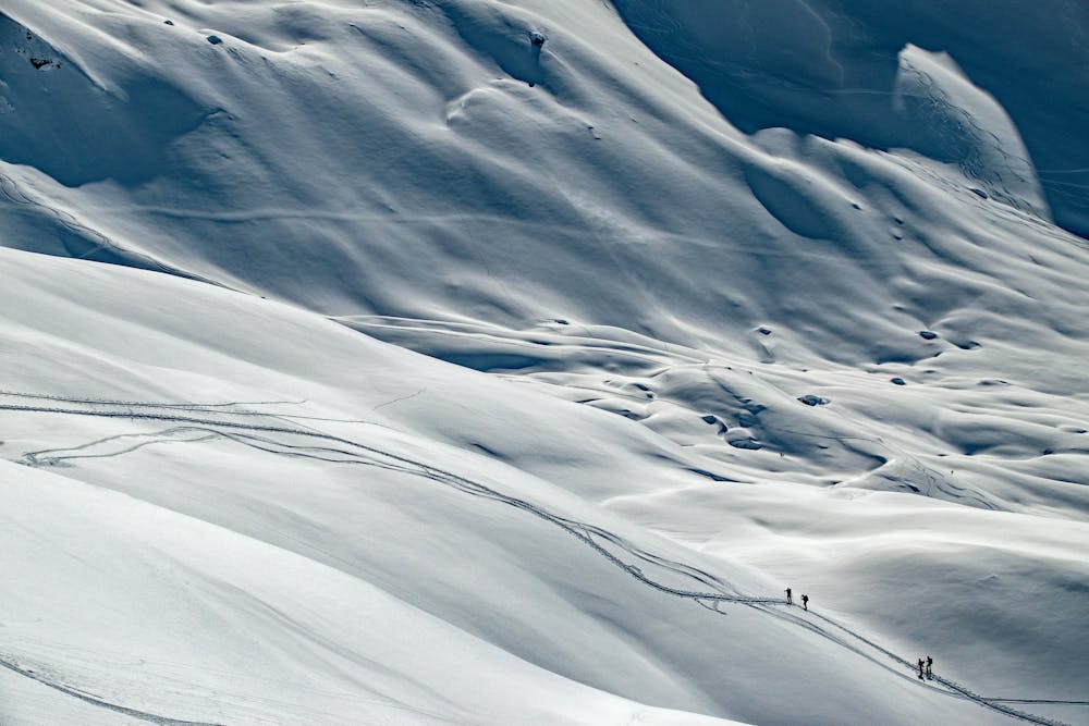
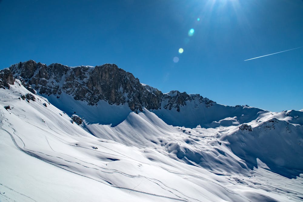
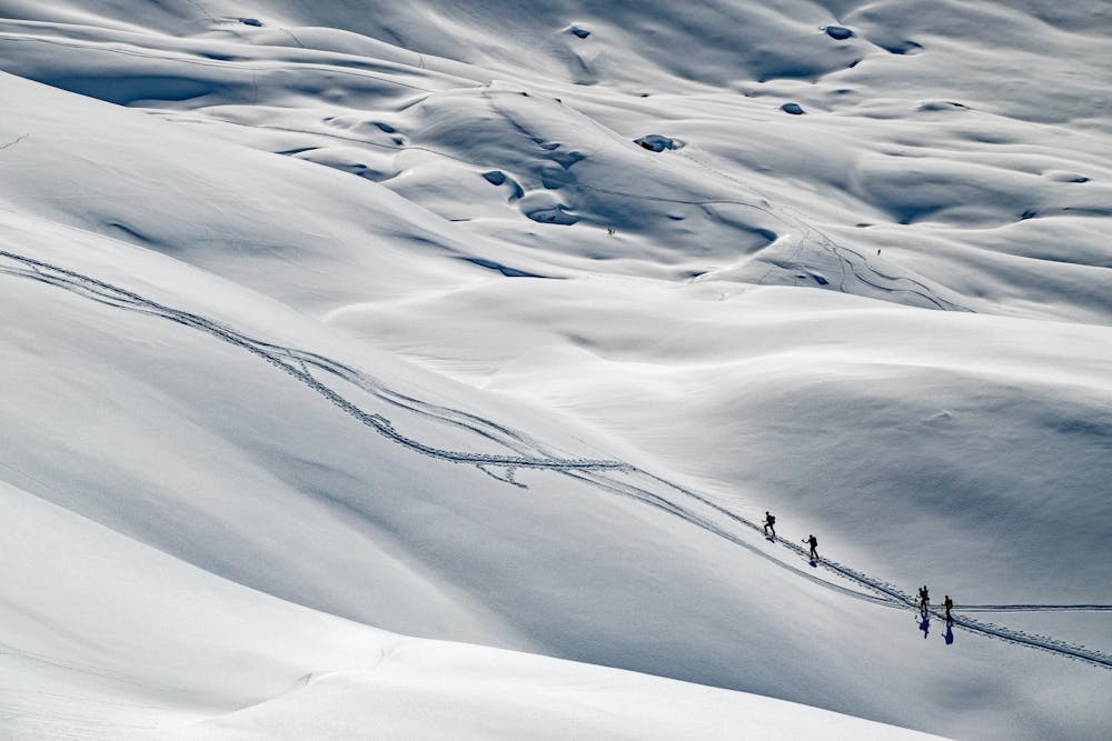
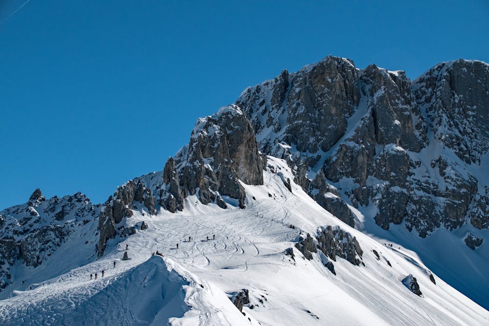
This is a popular snow shoeing route which is generally considered to be moderate. It's remote, it features medium exposure (e2) and is typically done between December and April. From a low point of 1.5 km to the maximum altitude of 2.3 km, the route covers 8.8 km, 827 vertical metres of ascent and 865 vertical metres of descent.
Description
Easy snowshoe hike - sometimes steep when in the woods, more mellow above the tree line. Consider avalanche risk, especially when going down steeper sections.
Difficulty
Moderate
Medium Exposure (E2)

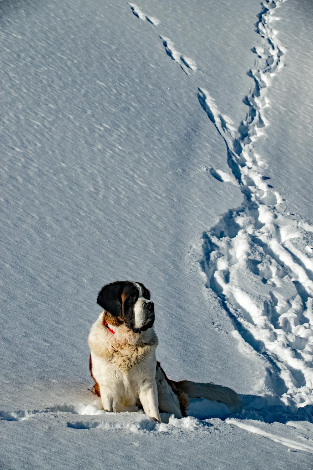
As well as the slope itself, there are some obstacles (such as rock outcrops) which could aggravate injury.
Remoteness
Away from help but easily accessed.