Madrisa Trail Klosters T54 by LOWA
Davos Klosters
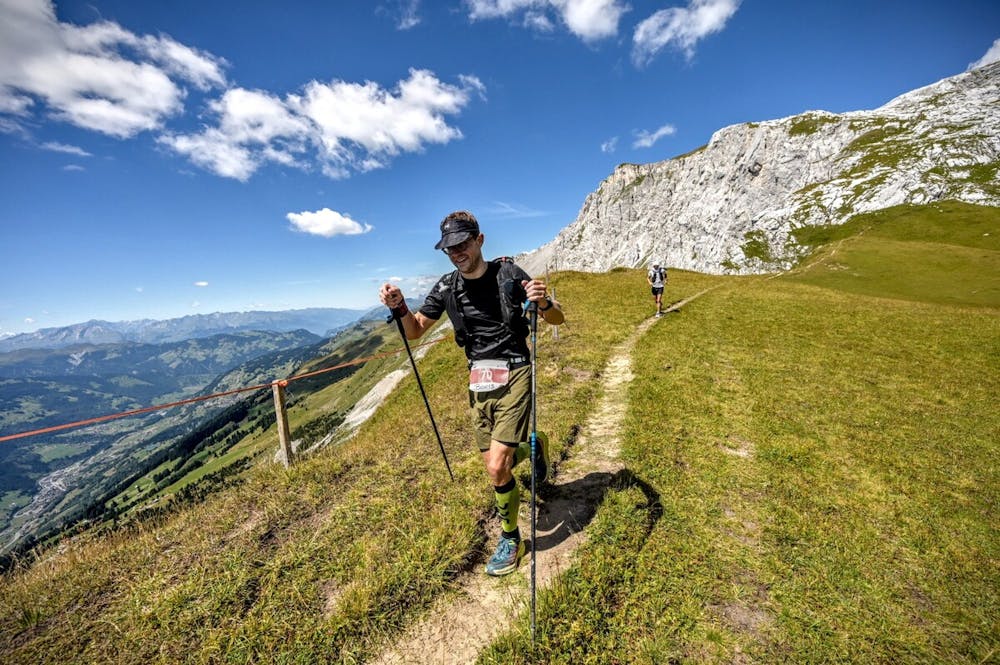
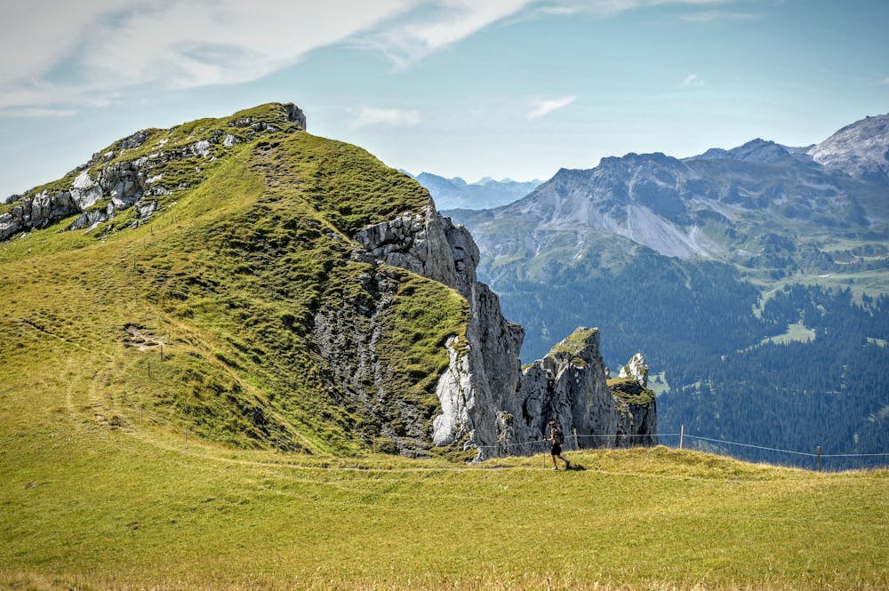
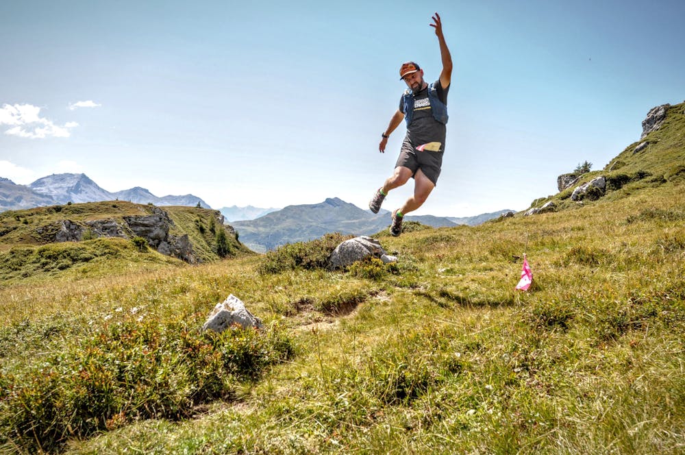
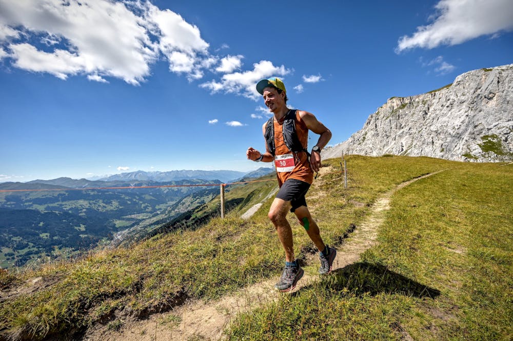
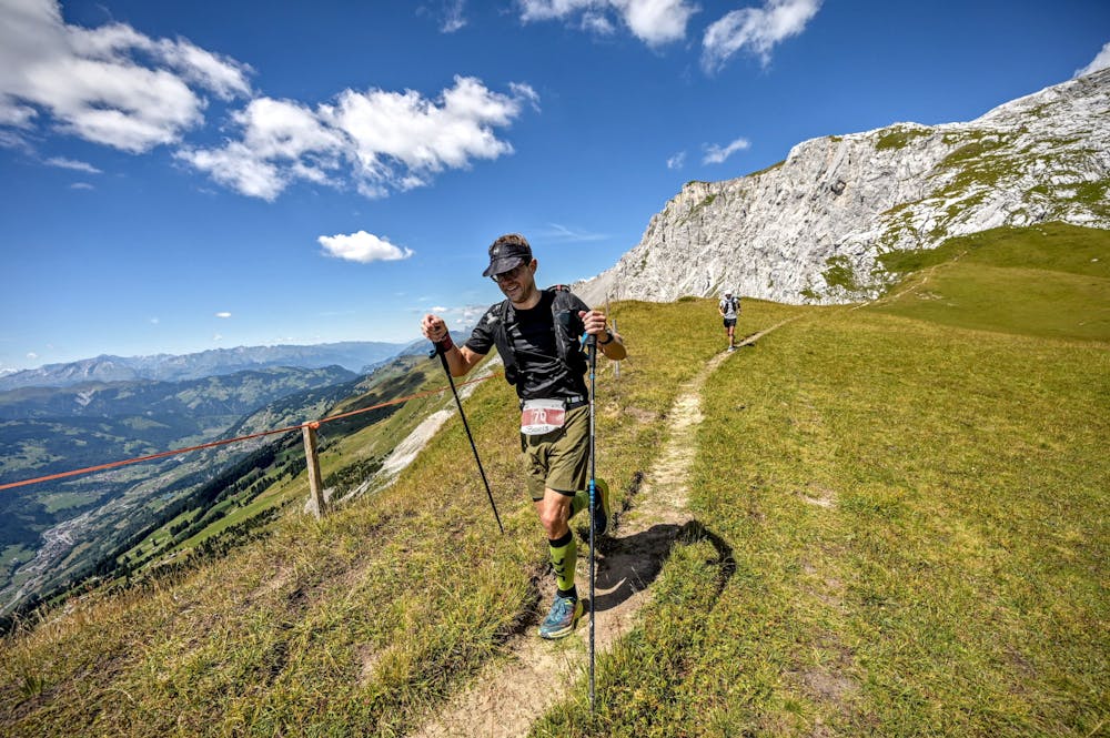
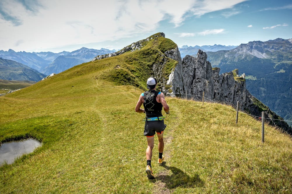
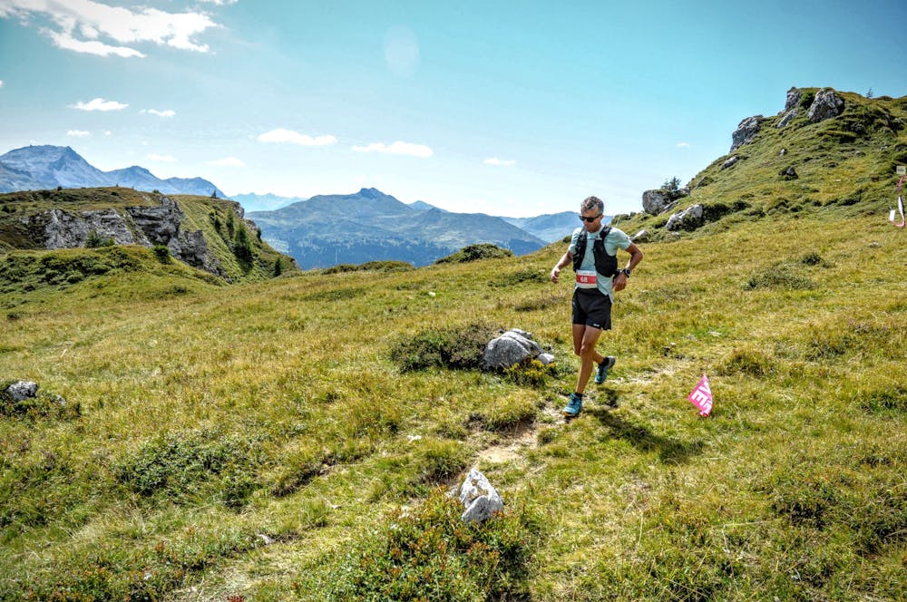
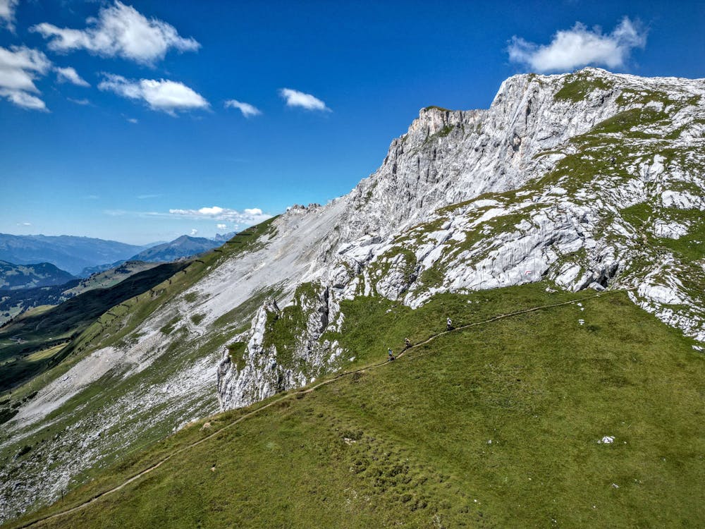
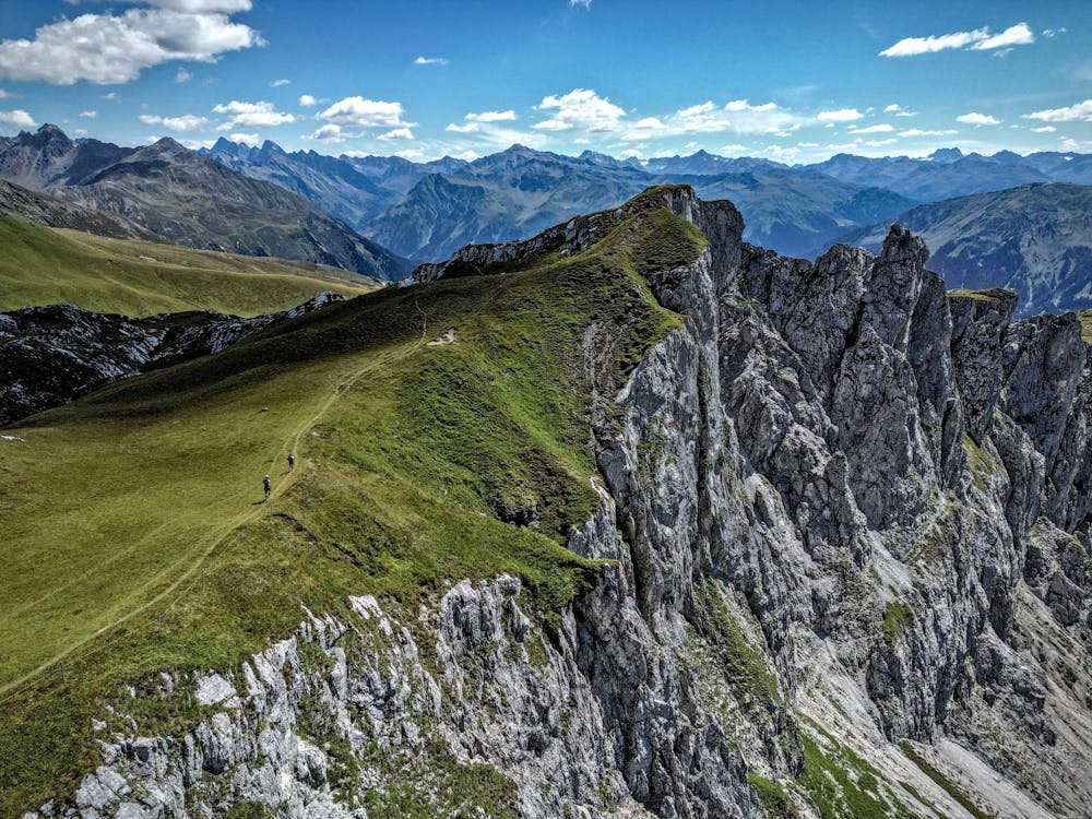
Alpiner & technischer Trailrun vor spektakulärer Kulisse
Trail Running Severe
- Distance
- 54 km
- Ascent
- 3.8 km
- Descent
- 3.8 km
- Duration
- 1 day +
- Low Point
- 1.1 km
- High Point
- 2.7 km
- Gradient
- 17˚

This is a popular trail running route which is generally considered to be severe. It's remote, it features high exposure and is typically done between June and October. From a low point of 1.1 km to the maximum altitude of 2.7 km, the route covers 54 km, 3837 vertical metres of ascent and 3838 vertical metres of descent.
- •
- •
- •
- •
- •
- •
- •
- •
- •
Description
Aussicht vom Jägglisch Horn, Downhill ins Gafia, Rätschenhorn, Grat-Running in Richtung Gafier Platten Weitere Infos: https://www.madrisatrail.ch/t54-trail
Difficulty
Severe
High Exposure

Some trail sections have exposed ledges or steep ascents/descents where falling could cause serious injury.
Remoteness

Away from help but easily accessed.