7 km away
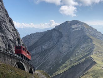
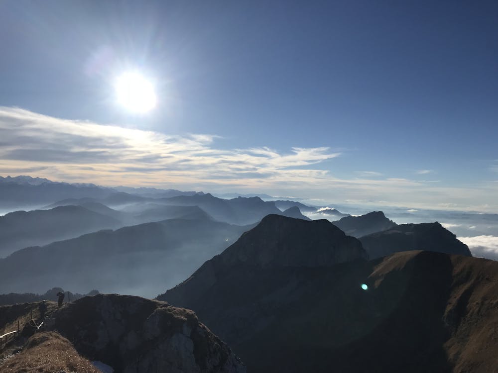
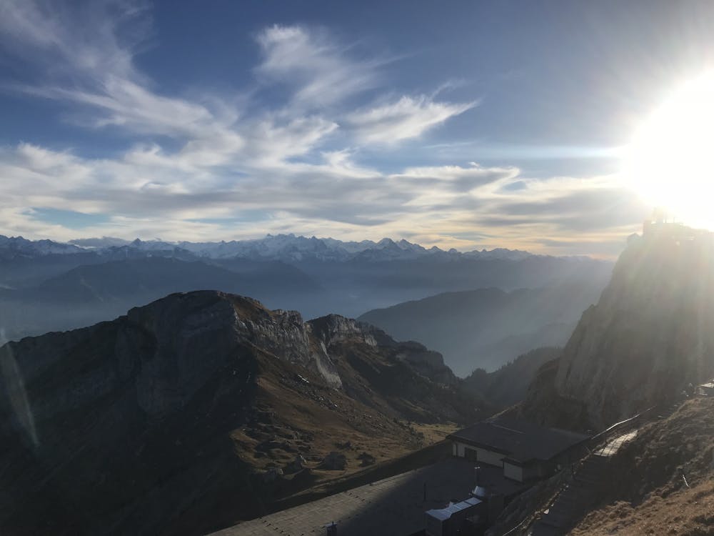
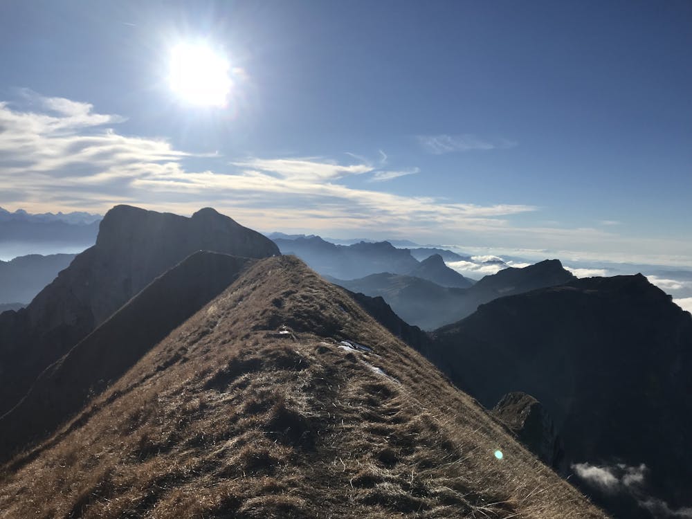
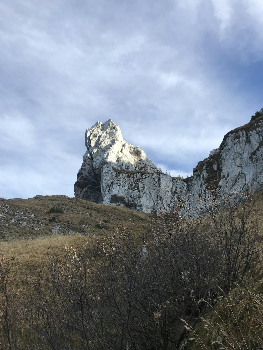
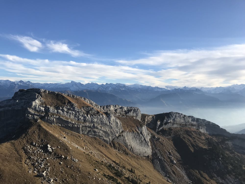
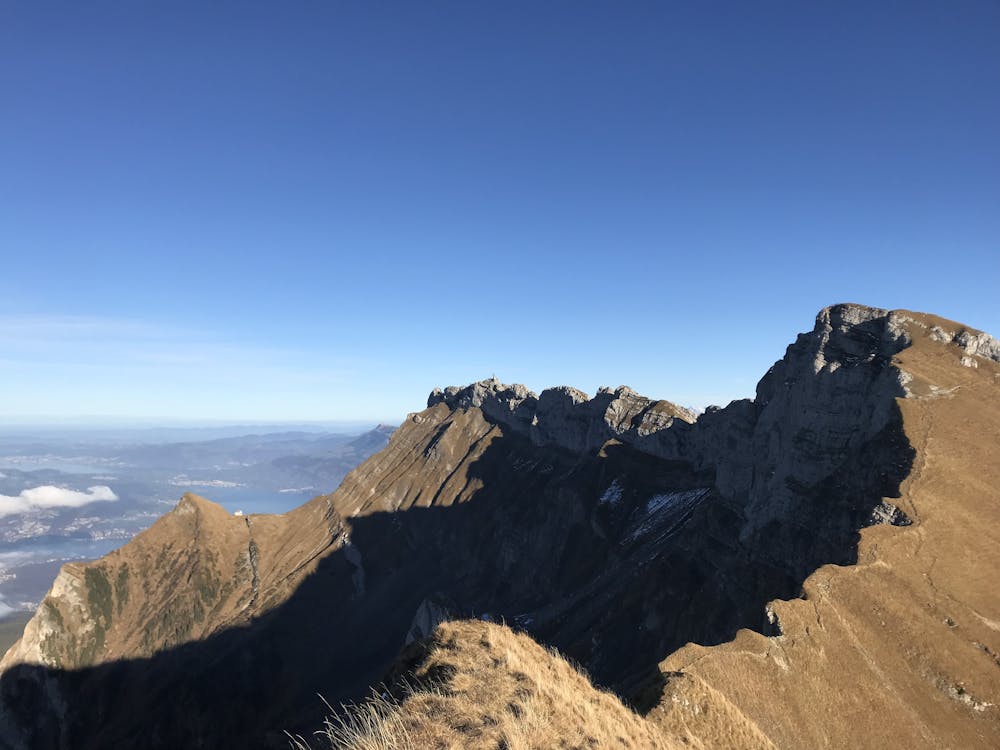
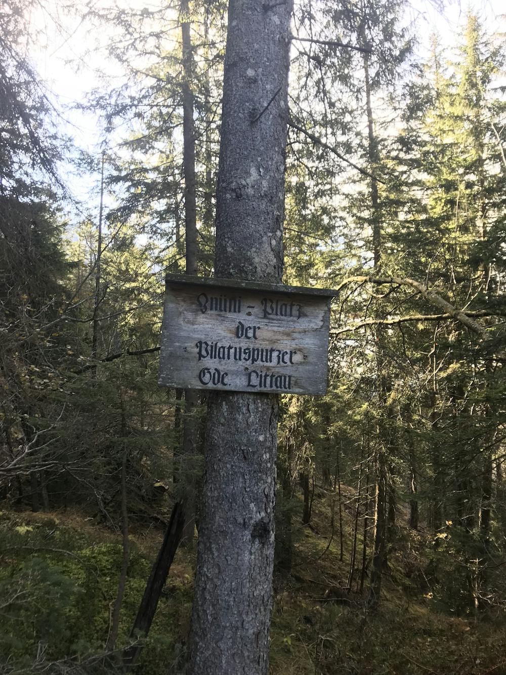
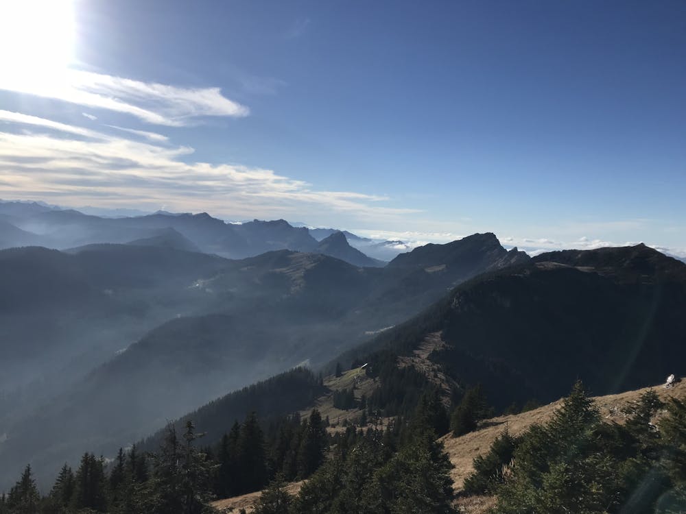
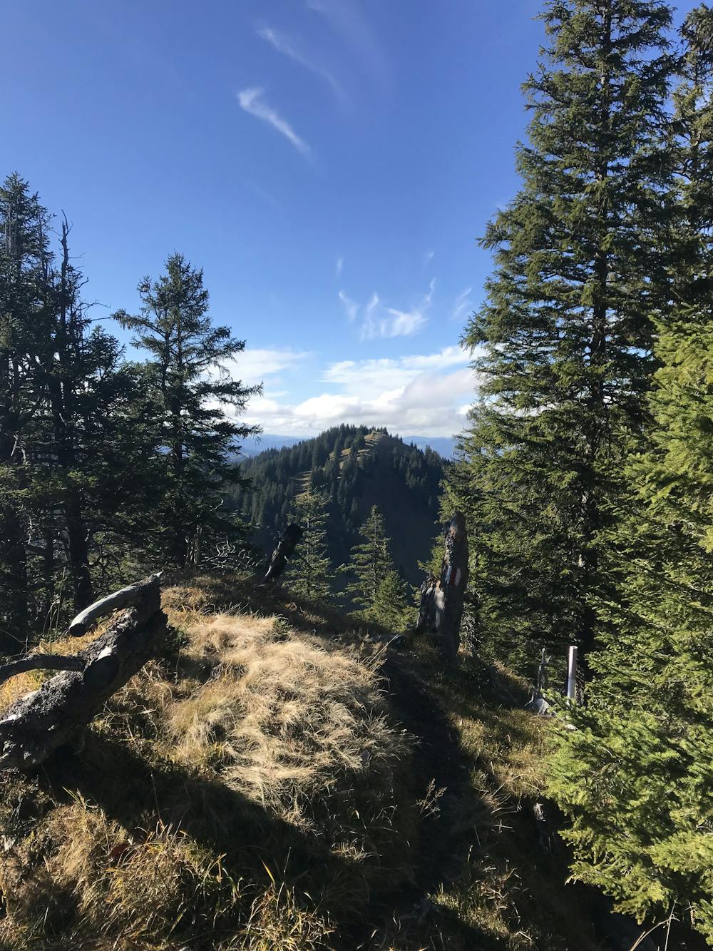
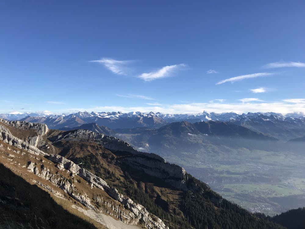
Pilatus Massif
This hike will truly fulfill your stay in Lucerne.
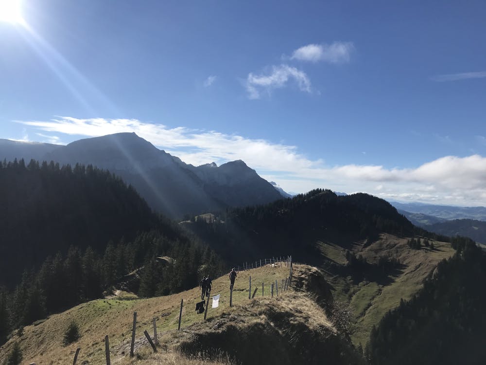
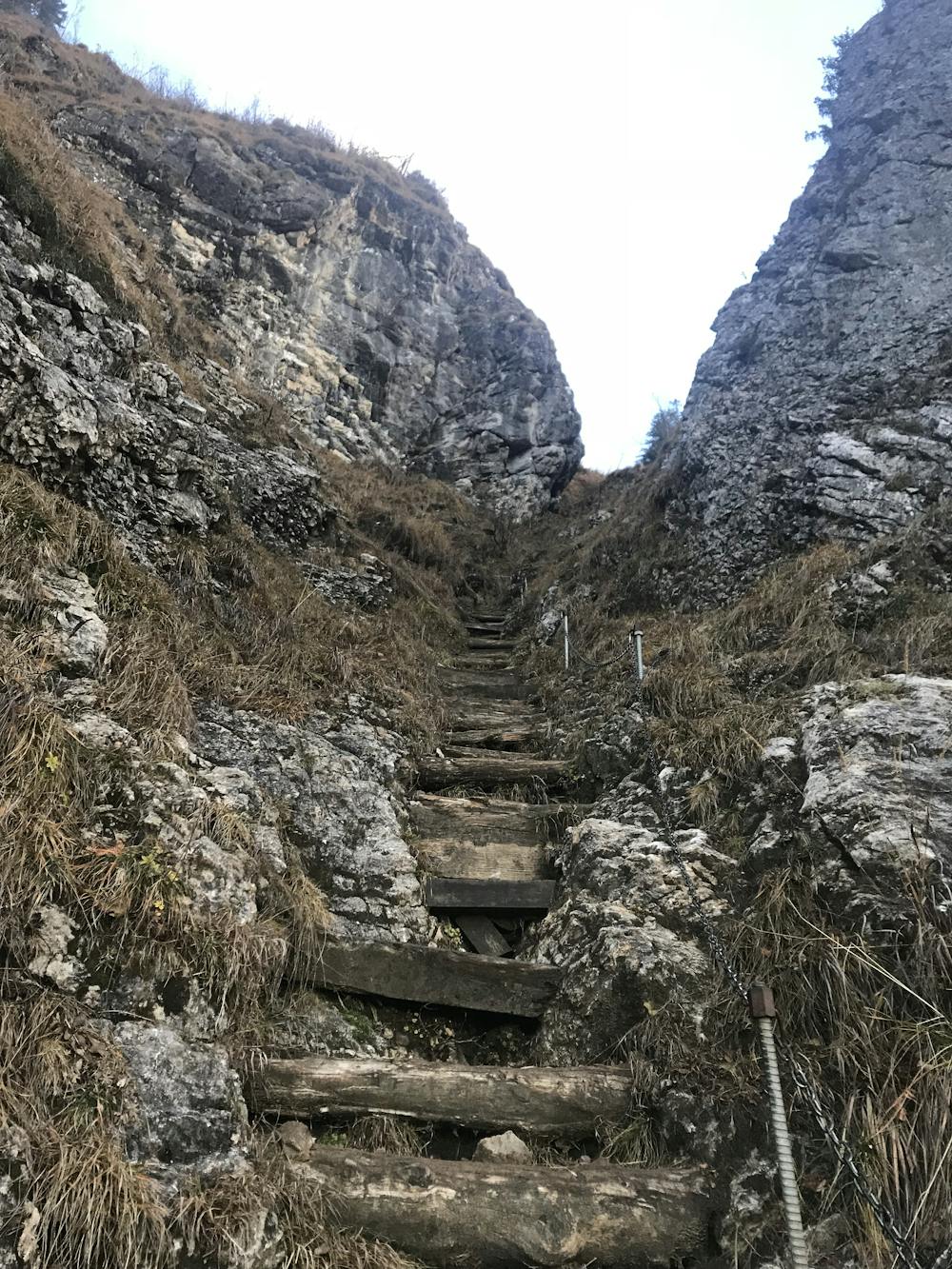
Difficult Hiking
- Distance
- 15 km
- Ascent
- 1.6 km
- Descent
- 1.6 km
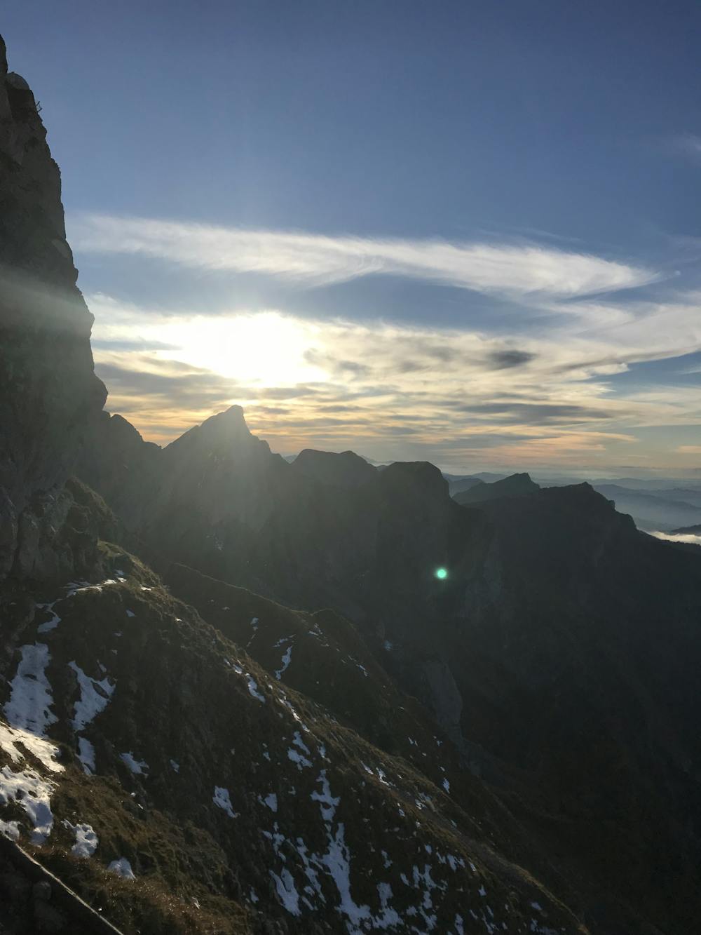
pilatus trail running fun day
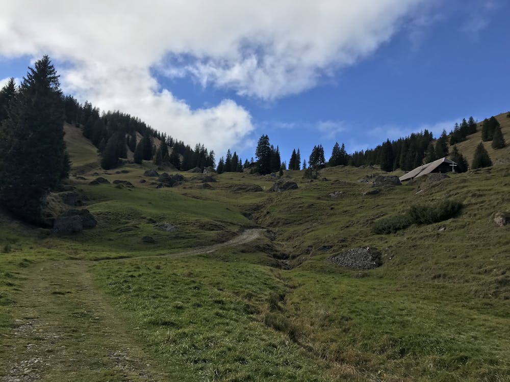
Hiking Moderate

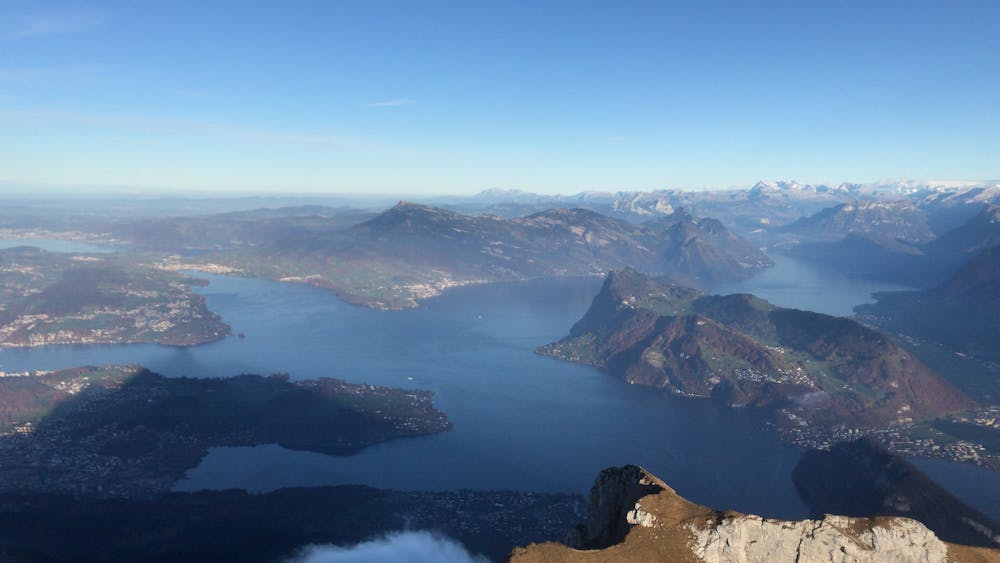
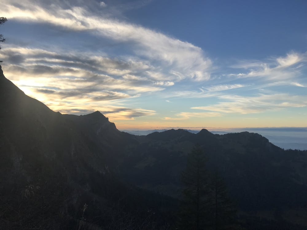
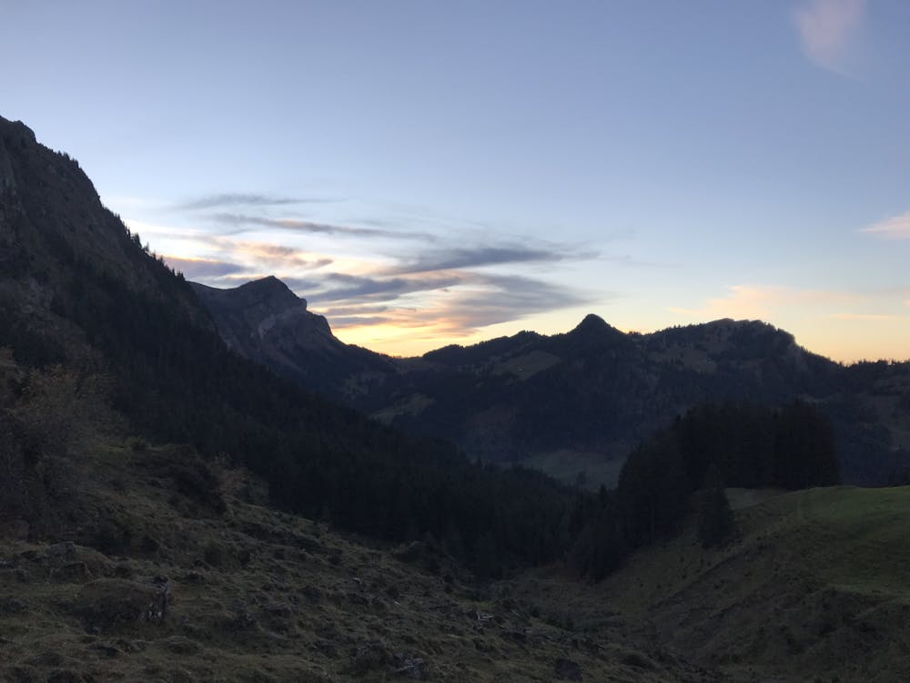
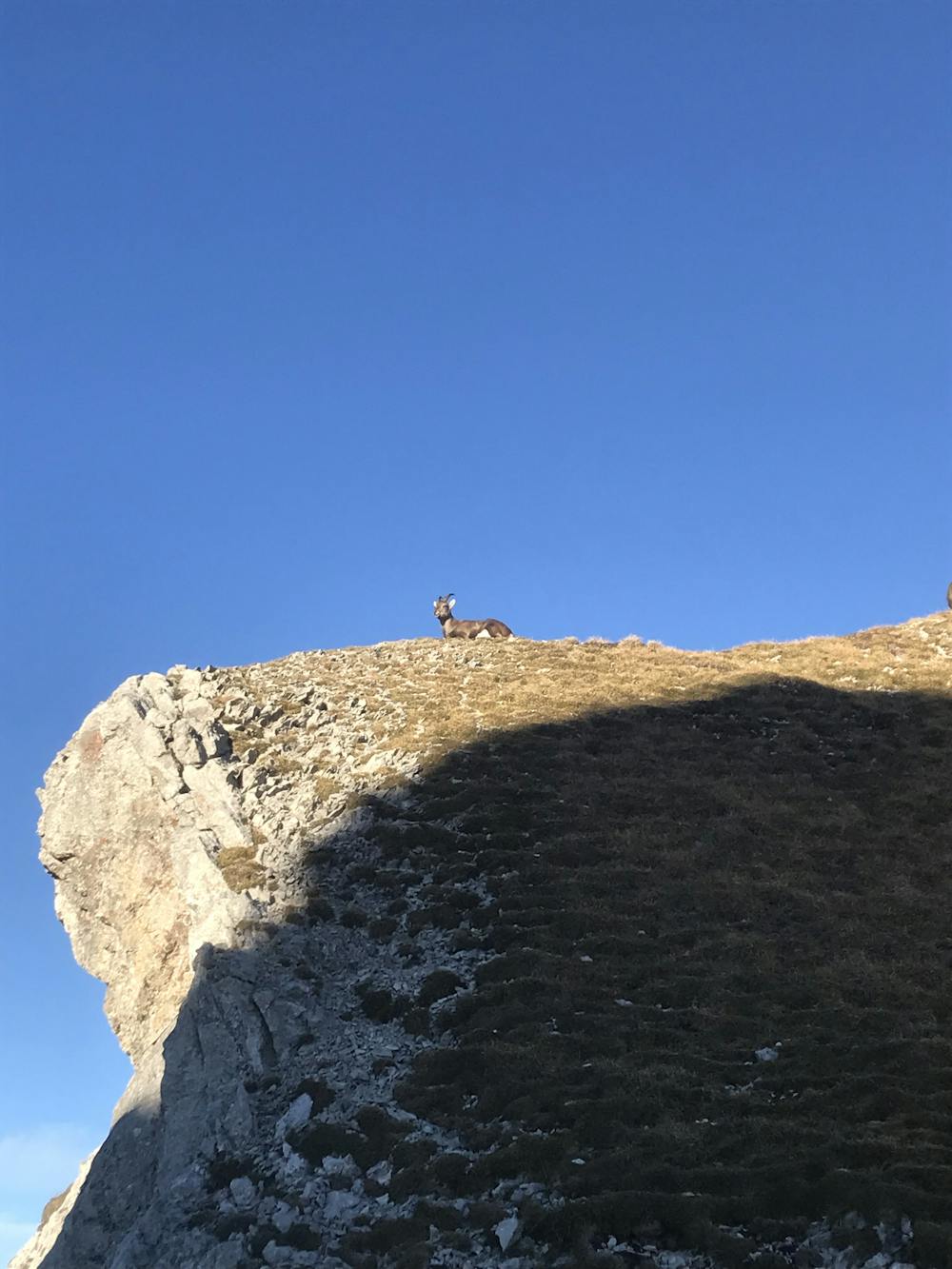
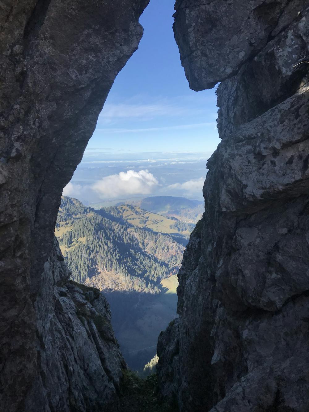
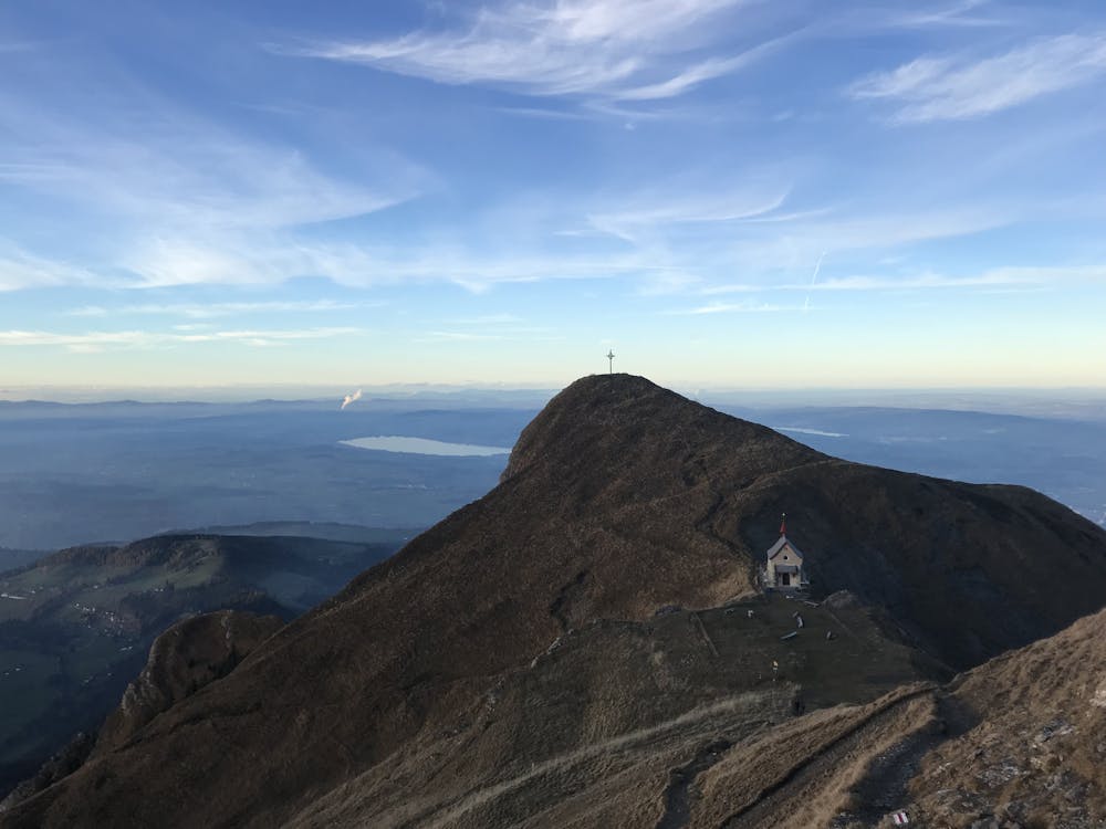
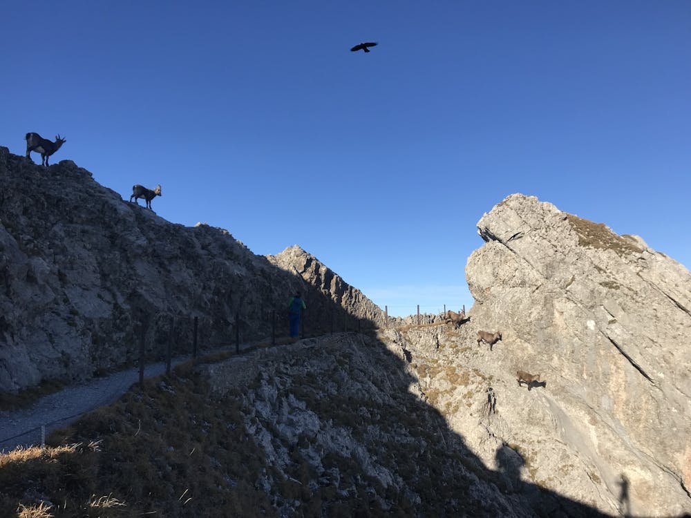
Last weekens #adventure. Pretty awesome day! sad rainy weather in brugg but sun all day long in #luzern. Best decision to head out that day! Started off at around 12pm in eigenthal. First part up to Regenflüeli, Studberg, Ochs, Hüenerhubel was a nice steady climb for running. Second part led down to Trochemattsattel where I followed the signs up to Mittaggüpfi. Reminded me more of running up staircases. Shortly stopped running. It got too steep (for me) and the surface got too slippery. So cautiously followed the narrow path up. Up there I wasnt alone anymore. Enjoyed the view for some minutes, refueld and followed a nice litte running section until I got a bit lost at Rottossen, but managed to find back on track. Aaand somehow managed to miss Widderfeld #nexttime. Before Tomlishorn around Gemsmättli I encountered a few male and female alpine Ibex sunbathing :) After that a lot more female ones on another slope shortly before Pilatus. Up there was quite a tourist traffic jam up to Esel and Oberhaupt. Bought a coke and a some cake to refuel. Quite lucky that I was able to pay with #twint! The descent was steeper than I imagined. Took it pretty easy, it was also quite slippery. Finished around 17:15ish before it got totally dark, Total distance was ~24k Food: All in all 1L water, 0.5L iso, two #isostarch bars... Additinal delicious coke and cake at pilatus with a magnificent view on #vierwaldstättersee . . . .
Moderate
Hiking along trails with some uneven terrain and small hills. Small rocks and roots may be present.

The path is on completely flat land and potential injury is limited to falling over.
Close to help in case of emergency.
7 km away
This hike will truly fulfill your stay in Lucerne.
Difficult Hiking