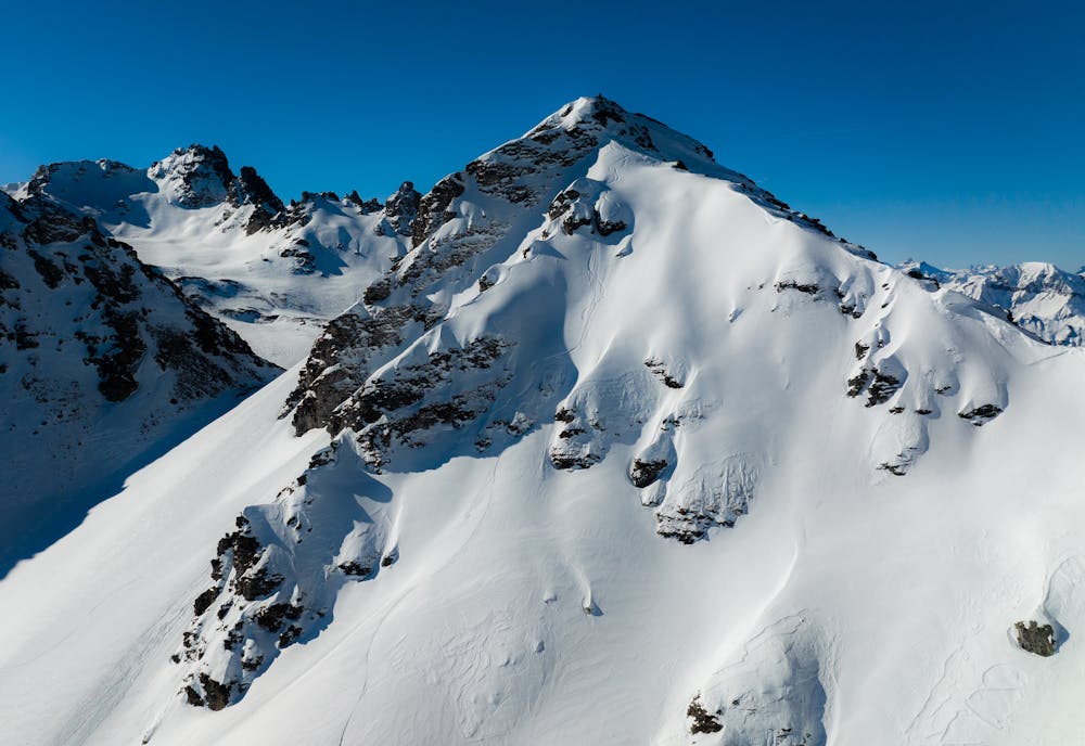
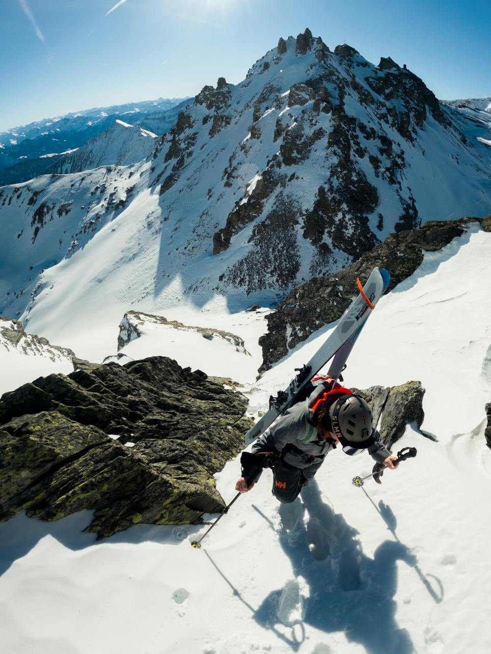
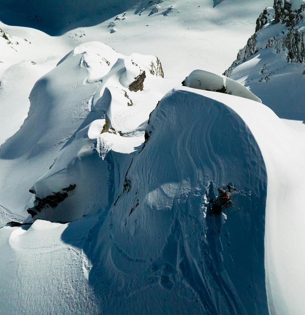
Schwarzer Hörner East Face
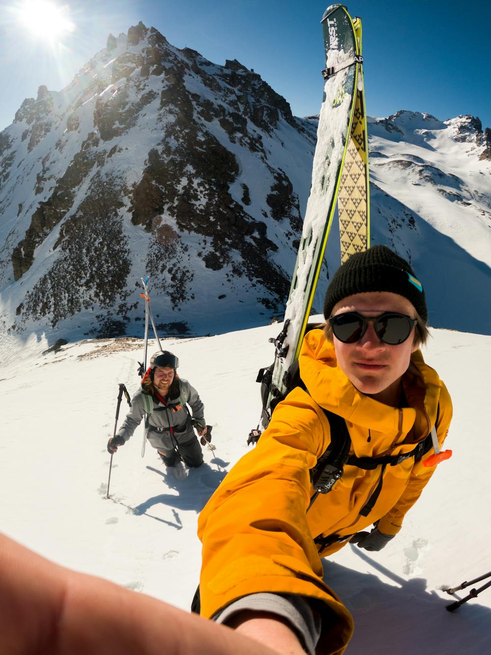
Getting lucky in the East of Switzerland
Freeride Skiing Moderate
- Distance
- 4.8 km
- Ascent
- 526 m
- Descent
- 511 m
- Low Point
- 2.2 km
- High Point
- 2.6 km
- Gradient
- 43˚

The wind hammered trough the alps in differente directions and ruined all the plans we had. After scoping multiple lines and discovering nothing was doable we decided to drive east in the hopes for more and better snow. After some research it looked liked Pizol could be a good option. We drove four hours and visited Pizol for the first time. Also there the wind affected the snow a lot and the Avalance risk considerable. Therefore we invested one full day to make a plan, check the snowconditons and the snowpack. Day 2 was forecasted to be a very warm day, that’s why even in mid February we really need to quick and get of the mountain before noon.
- •
- •
- •
- •
Description
A note: Safety is the nr 1 priority in Freeriding, we think communication is a very important topic. In German we told the guy at the top liftstation what we were up to, and he promised to keep a eye on us. Also we said we would give a heads up when we were back.
Difficulty
Moderate
Slopes become slightly steeper at around 25-30 degrees.
Low Exposure (E1)

Exposure is limited to that of the slope itself. Getting hurt is still likely if the slope is steep and/or the snow is hard.
Remoteness

Away from help but easily accessed.
Best time to visit
Features
- Face
- Cliffs
- Couloir
Equipment required
- Skins