10 routes · Hiking
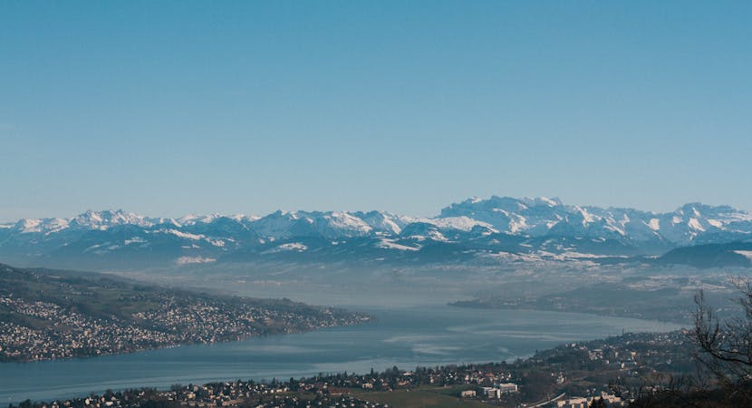
Enjoy views across the lake from start to finish.
Hiking Easy

The Zürichsee-Weg (Lake Zurich trail) is a wonderful way to explore Zurich’s glistening lake and its surrounding woodlands, streams, marshlands and historical gems. Come across castles with mountain backdrops, elegant villas with sandy beaches to take a dip and medieval villages to welcome you in for a pitstop on this epic 10 stage circular hike. Follow the signposts for Swiss Mobility 84 all the way around.
This stretch of the hike sticks close to the shoreline and also passes through the Wurmsbach and Busskirch nature reserves. Stop to visit the islands of Ufenau and Lützelau where you will find another nature reserve, bbqing and camping spots before arriving in the medieval town of Rapperswil, complete with a well-preserved castle.
Sources https://www.schweizmobil.ch/en/wanderland/routes/route/etappe-01477.html https://www.zuerich.com/en/visit/sport/lake-zurich-circular-tour
Easy
Walking along a well-kept trail that’s mostly flat. No obstacles are present.

The path is on completely flat land and potential injury is limited to falling over.
Close to help in case of emergency.
10 routes · Hiking