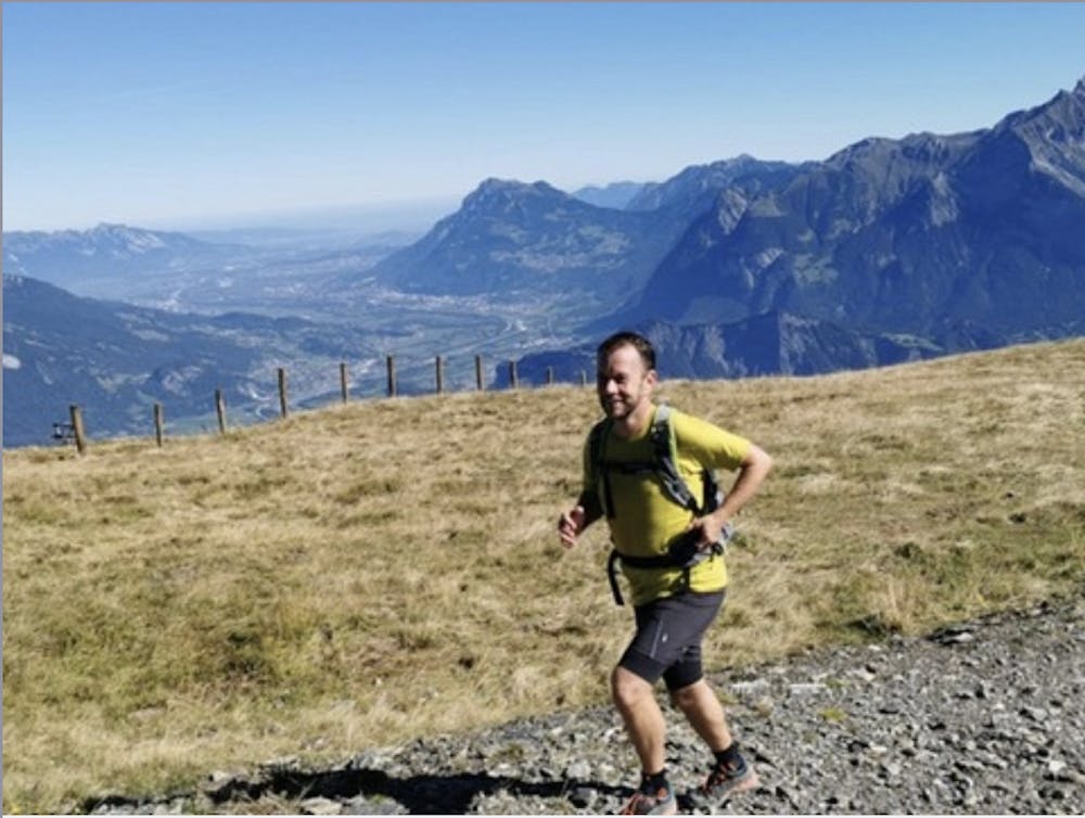
Heidis Long Trail
A challenging trail run through varying terrain including lakes and ridges
Trail Running Difficult
- Distance
- 12 km
- Ascent
- 841 m
- Descent
- 840 m
- Duration
- 2-3 hrs
- Low Point
- 1.6 km
- High Point
- 2.2 km
- Gradient
- 15˚

The gondola from Bad Ragaz takes you to the starting point Pardiel.
Description
Start running via Obersäss and the viewpoint Schwarzbüel to Schwarzbüelhütte. From here, the trail continues left to Vilterser Obersäss on a varied trail through forest, moor and rough vegetation. Climb up to Vilterser Seeli and pass the lake towards Pizolhütte, where you enjoy an amazing 360 panorama. Follow the trail to your left towards Wangsersee which invites you to cool down before the trail continues on the Panorama Mountain Trail to Laufbodenstübli - the highest point of this tour at 2'223m. A fast and steady descending trail brings you back to Pardiel. As you come across the first Edelweiss steles, follow them uphill to Suntigweidsee, where you can relax in beach chairs and enjoy the beautiful panorama. A last short descent via Obersäss takes you back to Pardiel, from where the gondola takes you to Bad Ragaz.
Tip 1: If your legs are tired after the first half, you can take the chairlift starting from Laufböden
Tip 2: If you don't feel like running the additional loop via Suntigweidsee, you can descent straight to Pardiel
Difficulty
Difficult
High Exposure

Some trail sections have exposed ledges or steep ascents/descents where falling could cause serious injury.
Remoteness

Away from help but easily accessed.