Hike - Sattelegg zu Chli & Gross Aubrig
Beautiful hike with nice views - not going too high so good for earlier in the year. Two peaks, the second with a challenging climb.
Hiking Moderate
- Distance
- 14 km
- Ascent
- 966 m
- Descent
- 966 m
- Duration
- 4-5 hrs
- Low Point
- 1.2 km
- High Point
- 1.7 km
- Gradient
- 17˚

This is a popular hiking route which is generally considered to be moderate. It's not remote, it features medium exposure and is typically done between May and October. From a low point of 1.2 km to the maximum altitude of 1.7 km, the route covers 14 km, 966 vertical metres of ascent and 966 vertical metres of descent.
- •
- •
- •
Description
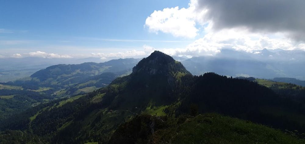
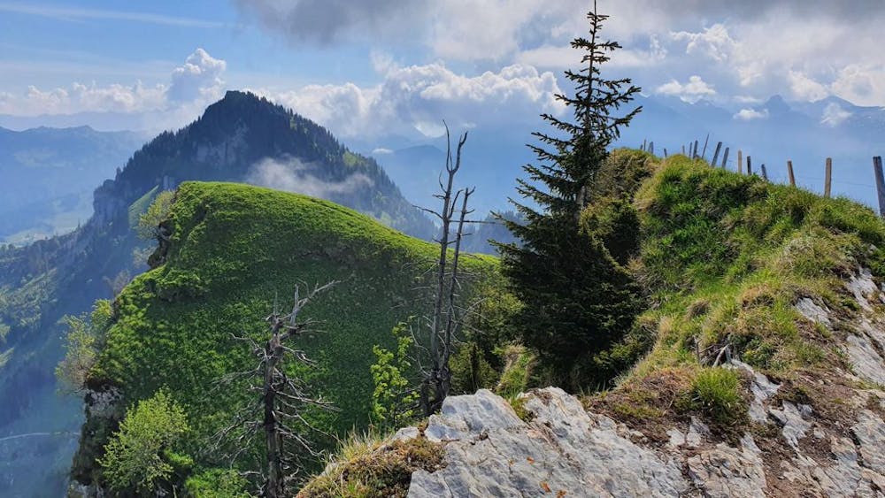
This 4 hour round-trip hike is great for a half day tour and is not too far from Zurich as a starting point. It offers great views over the lakes and into the mountains of central and eastern Switzerland.
Difficulty
Moderate
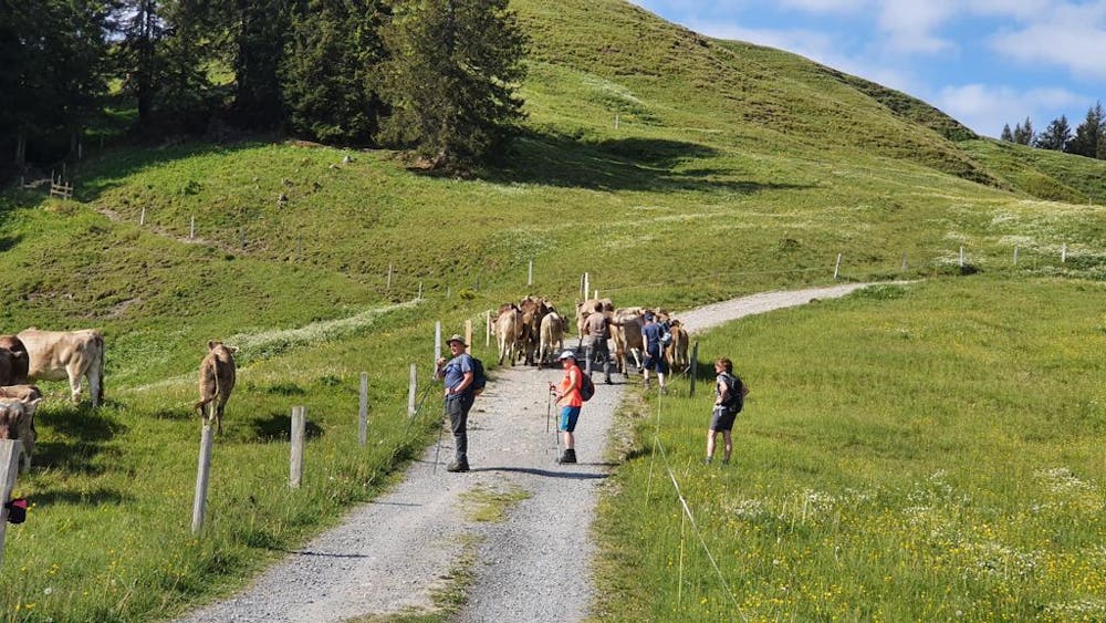
Hiking along trails with some uneven terrain and small hills. Small rocks and roots may be present.
Medium Exposure

The trail contains some obstacles such as outcroppings and rock which could cause injury.
Remoteness

Close to help in case of emergency.
Best time to visit
Features
- Picturesque
- Family friendly