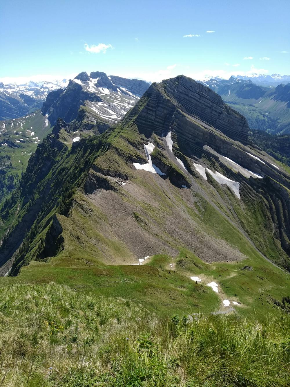
Wägital ost gipfeltour
Wägitalersee-Schiberg-Plattenberg-Brünnelistock-Rossalpenspitz-Zindlenspitz
Hiking Severe
- Distance
- 15 km
- Ascent
- 1.8 km
- Descent
- 1.8 km
- Duration
- 6-7 hrs
- Low Point
- 917 m
- High Point
- 2.1 km
- Gradient
- 20˚

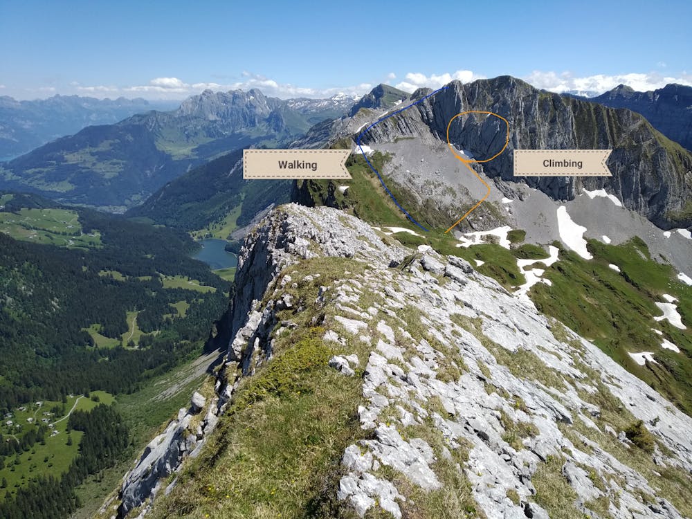
Trail with some ridge air and a little bit of scrlimbing


- •
- •
- •
- •
- •
- •
- •
- •
Description
Tour explained by the monsters of hikr.org https://www.hikr.org/tour/post23883.html
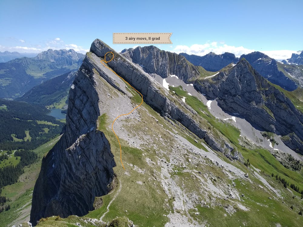
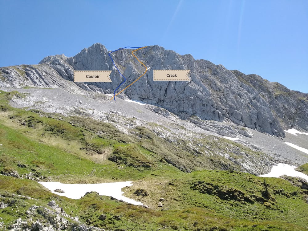
From my route: Brünnelistock has 10 meters of IV-V climbing, left couloir looks easier (see pics) this can be avoided going around to left side, as going, clockwise.
This must not be necessary but we are on internet... the Brünnelistock crack should only be followed by people confortable without rope on the IV climbing grade.
Difficulty
Severe
Hiking challenging trails where simple scrambling, with the occasional use of the hands, is a distinct possibility. The trails are often filled with all manner of obstacles both small and large, and the hills are very steep. Obstacles and challenges are often unexpected and can be unpredictable.
High Exposure

Some trail sections have exposed ledges or steep ascents/descents where falling could cause serious injury.
Remoteness

Close to help in case of emergency.
Best time to visit
Features
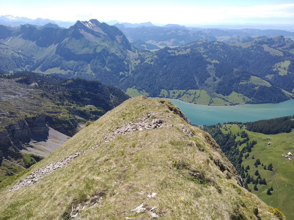
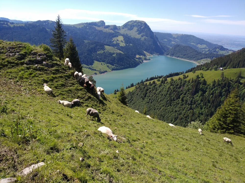
- Alpine
- Wildlife
- Picturesque
- Summit Hike