Summit Grassen To Valley Fürenbach (bus pick up)
Engelberg
Summit Grassen To Valley Fürenbach (bus pick up)
Also in Obwalden, Switzerland
Freeride Skiing Moderate
- Distance
- 6.6 km
- Ascent
- 68 m
- Descent
- 1.9 km
- Low Point
- 1.1 km
- High Point
- 2.9 km
- Gradient
- 41˚

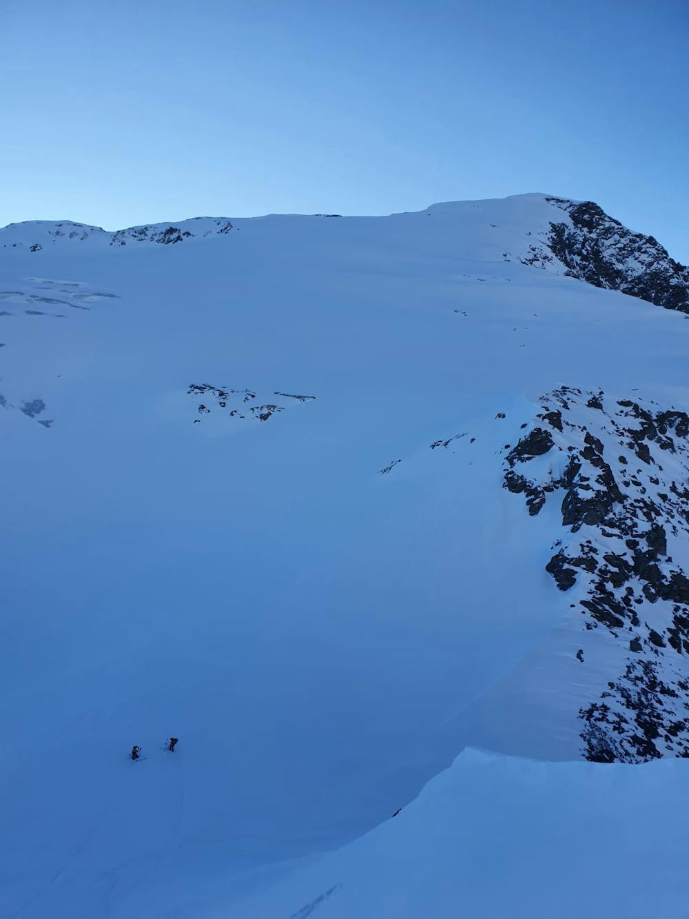
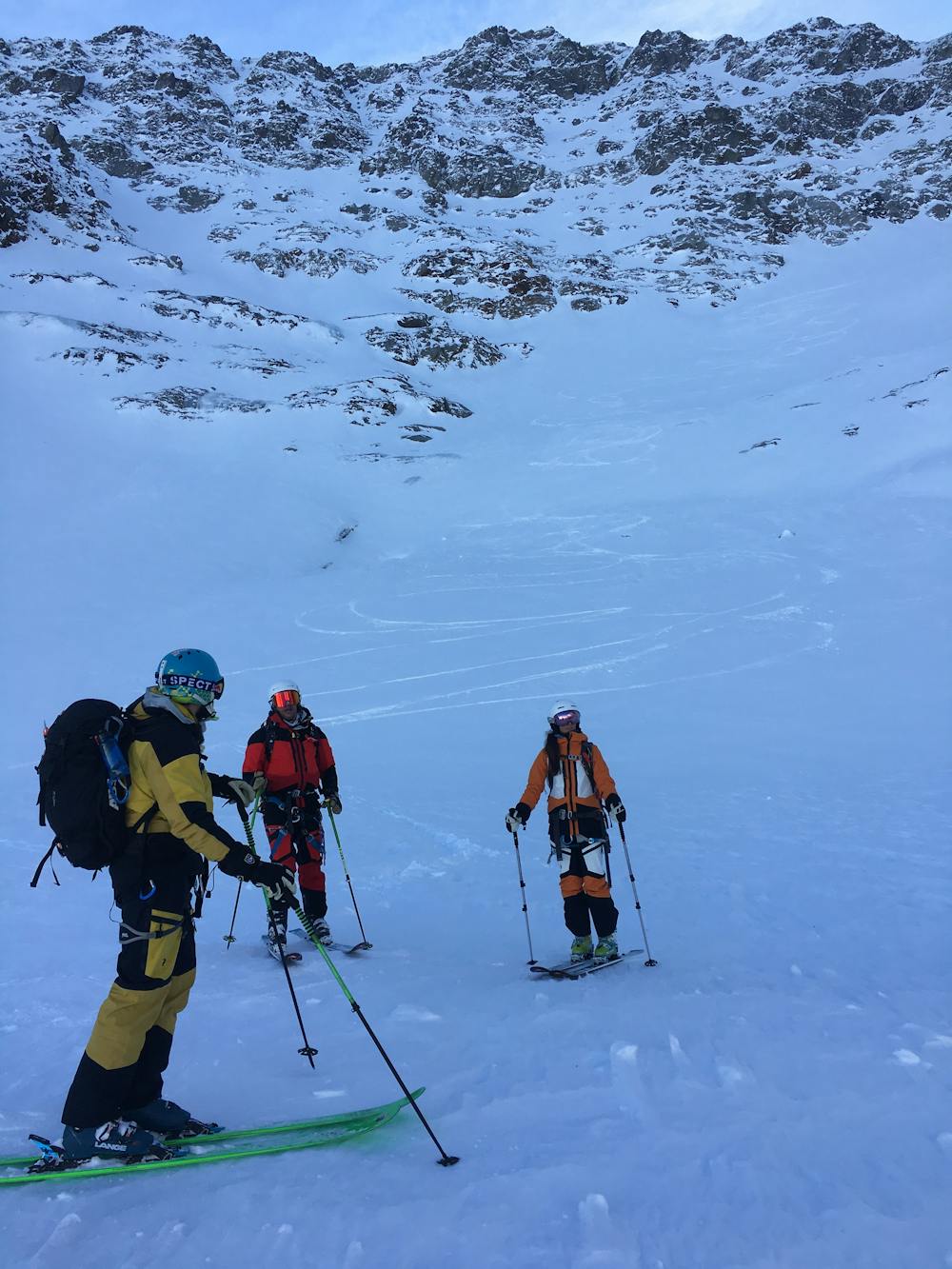
The decent is all on north, north east and north west facing aspects. You ski on the Firnalpeligletscher until 2200 m. Then its rock and small vegetation. You end up in the small tree line before arriving at the bridge crossing at the bottom of the decent. Hike up for 5 min until you hit the cross country ski tracks. Follow the main road to the Fürenbach cable car station where you can jump on the bus back to Engelberg.
- •
- •
- •
- •
- •
Difficulty
Moderate
Slopes become slightly steeper at around 25-30 degrees.
Medium Exposure (E2)

As well as the slope itself, there are some obstacles (such as rock outcrops) which could aggravate injury.
Remoteness

Little chance of being seen or helped in case of an accident.
Best time to visit
Features
- Bowl
- Face
- Trees
- Cliffs
- Glacier
- Walk Required
Equipment required
- Rope
- Skins
- Glacier kit