
15 routes · Hiking
26km full of stunning views and varied terrain.
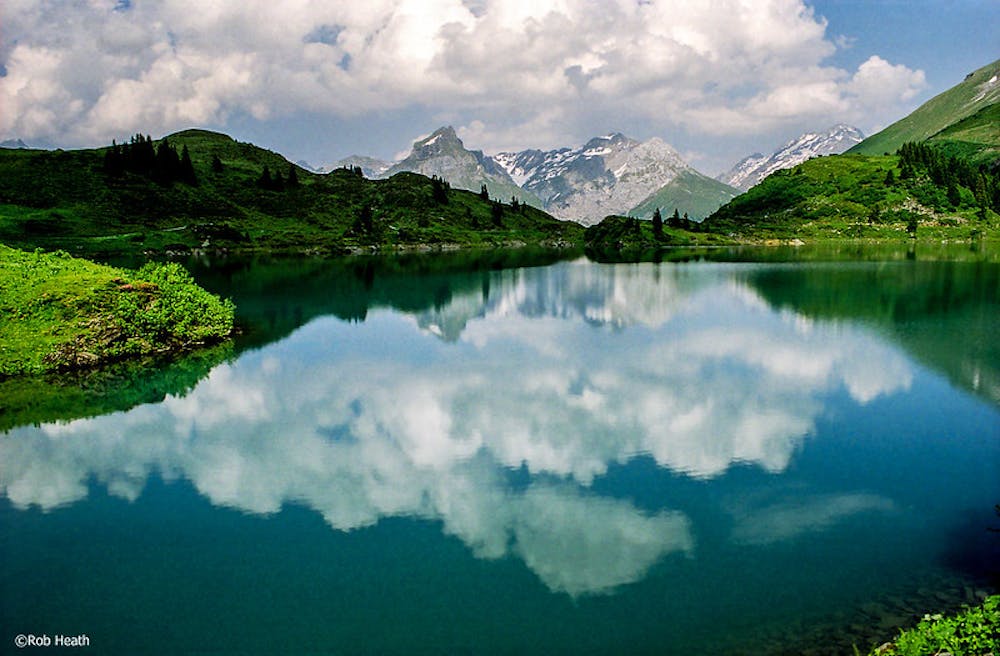
Also in Obwalden, Switzerland
Hiking Difficult

From Altdorf head onto the Reussebene plateau in the direction of Attinghausen, and then brace yourself for a steep climb over 1000m up to Brüsti. At the top, you will have a beautiful view of the Reusstal valley and over to the Urner mountains. Head westward through sparse mountain woodland to the ridge trail taking you through meadows to Angistock. This section of airy ridge walk offers a magnificent view over the Urnersee lake, the Gross Windgällen, the Oberalpstock, and the Bristenstock. From here, the mountain trail winds its way over boulder-strewn terrain and snowfields, most of which are still there even in mid-summer, uphill towards the rock faces of the Blackenstock and onto the Surenen pass. Go past the Blackenalp, through an alpine woodland and down to the valley. At the valley floor follow along the Engelberger Aa river to the charming village of Engelberg, famous for its Benedictine monastery.
Difficult
Hiking trails where obstacles such as rocks or roots are prevalent. Some obstacles can require care to step over or around. At times, the trail can be worn and eroded. The grade of the trail is generally quite steep, and can often lead to strenuous hiking.

The trail contains some obstacles such as outcroppings and rock which could cause injury.
Away from help but easily accessed.
15 routes · Hiking