Urschner Höhenweg
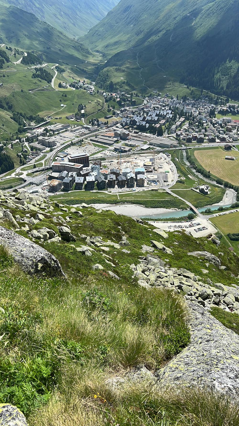
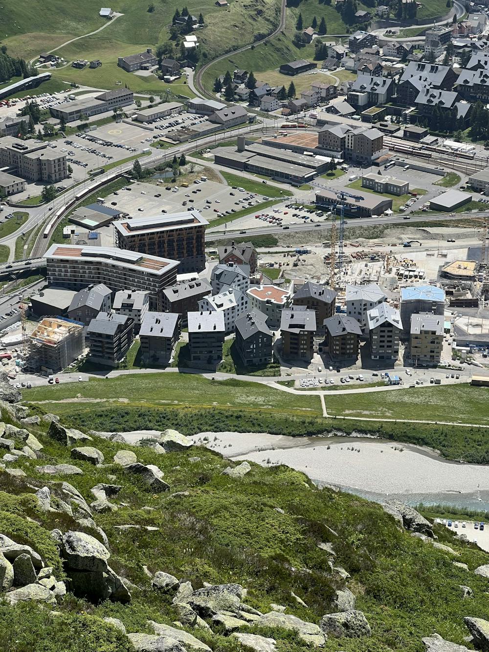
Andermatt
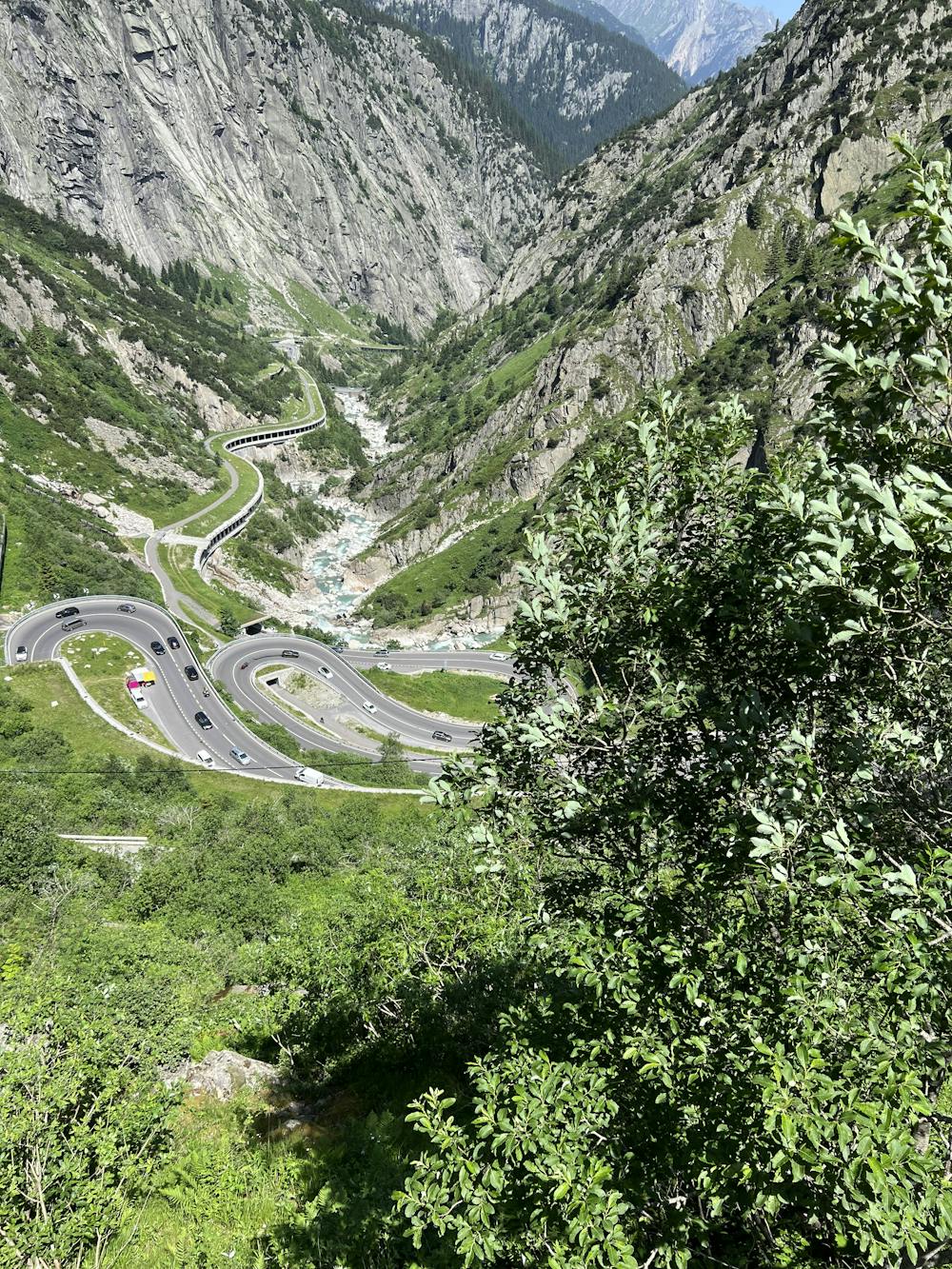
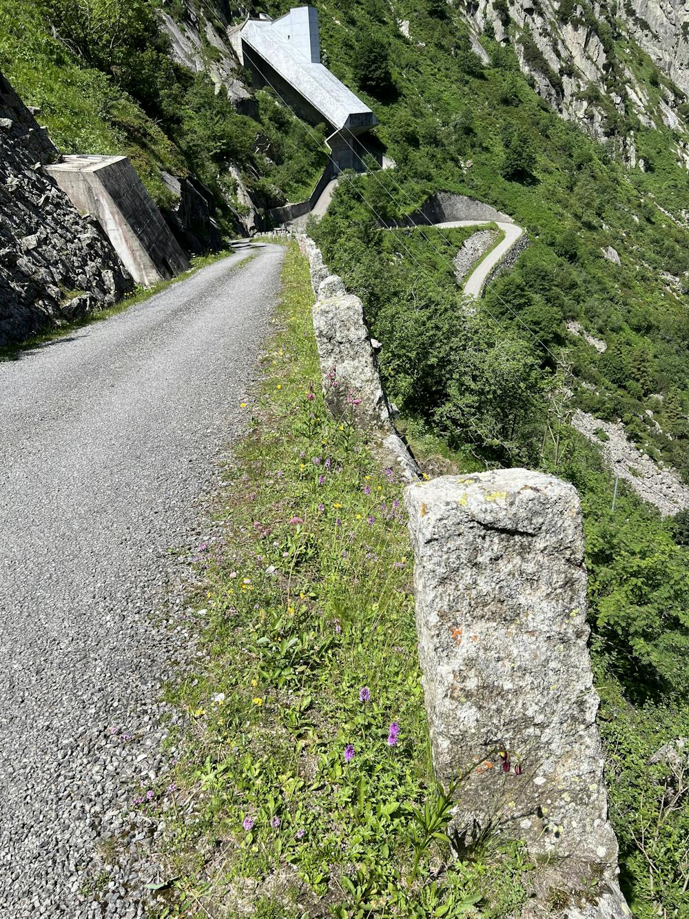
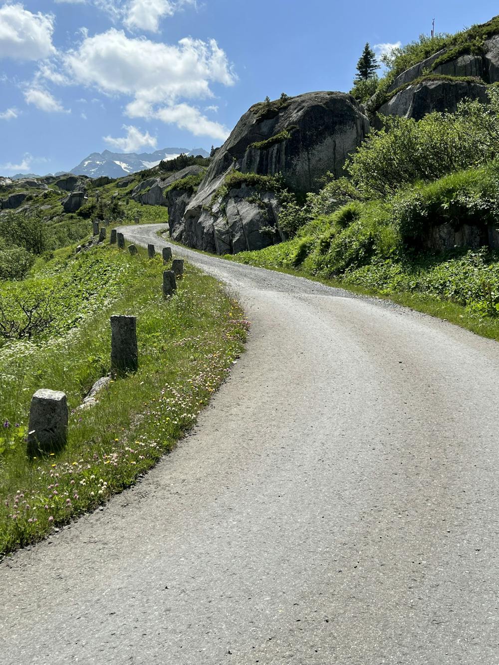
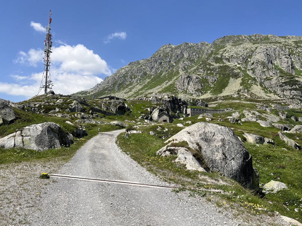
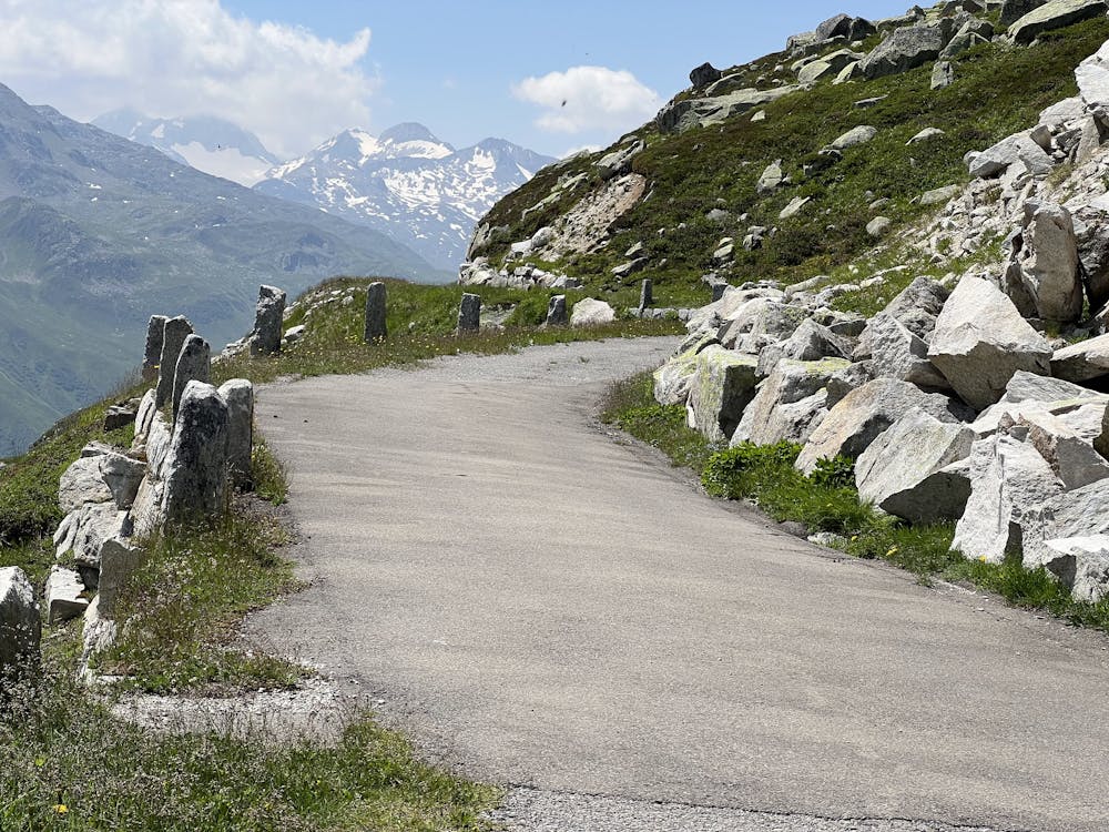
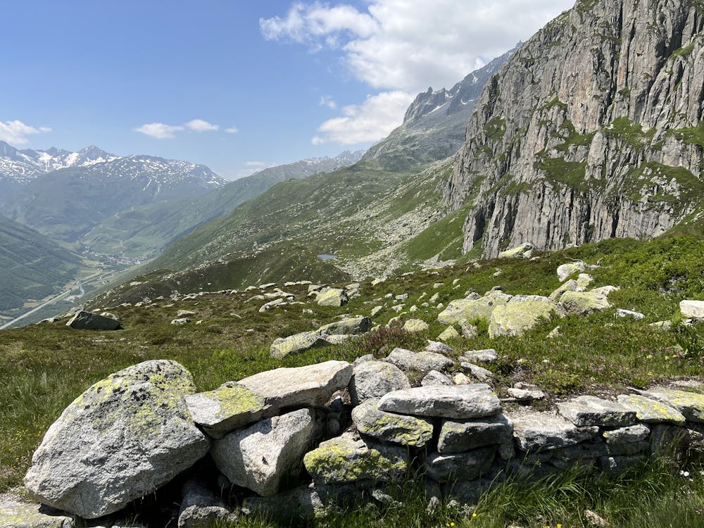
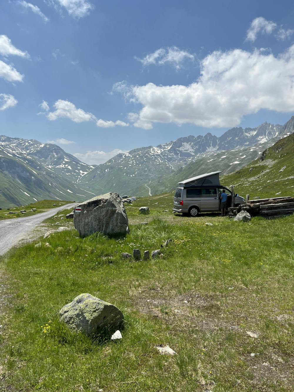
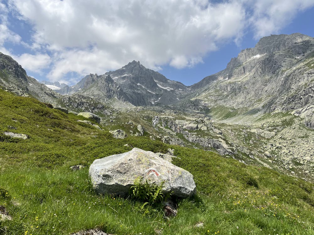
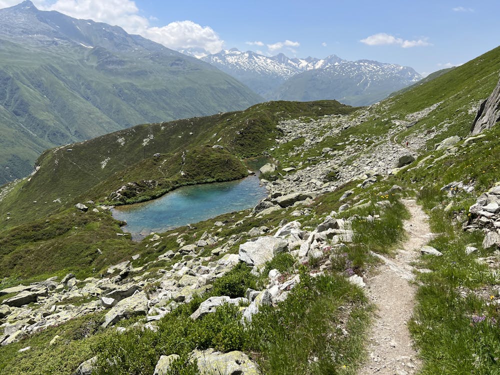
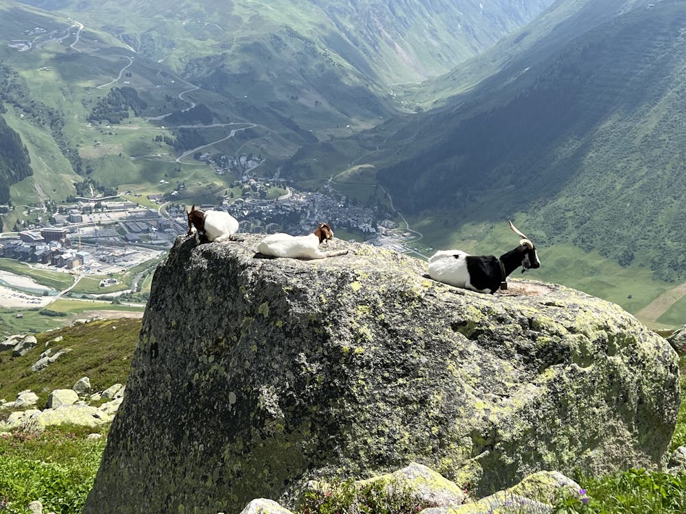
Panorama ride in a class of its own on the Urschner Höhenweg (Furka High Trail) in the Urseren Valley from Andermatt (Furka) via Lochberg, Blauseeli, Trübsee, Lutersee to Tiefenbach. Wonderful deep views and of the surrounding mountains. Classic decent to Realp like James Bond in Goldfinger.
Mountain Biking Difficult
- Distance
- 35 km
- Ascent
- 1.3 km
- Descent
- 1.3 km
- Duration
- 3-4 hrs
- Low Point
- 1.4 km
- High Point
- 2.3 km
- Gradient
- 10˚

This is a popular mountain biking route which is generally considered to be difficult. It's remote, it features medium exposure and is typically done between May and September. From a low point of 1.4 km to the maximum altitude of 2.3 km, the route covers 35 km, 1323 vertical metres of ascent and 1323 vertical metres of descent.
- •
- •
- •
- •
- •
- •
- •
- •
- •
- •
- •
- •
- •
- •
- •
Description
Incredible view of the valley below with epic downhill on the Furka road - like James Bond in Goldfinger.
Difficulty
Difficult
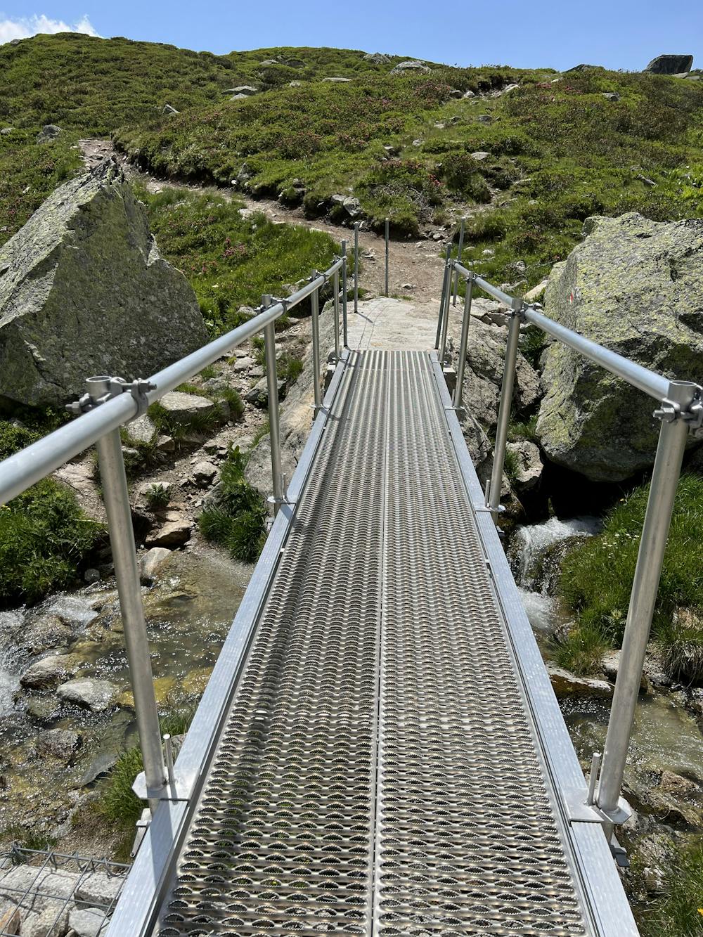
Mostly stable trail tread with some variability featuring larger and more unavoidable obstacles that may include, but not be limited to: bigger stones, roots, steps, and narrow curves. Compared to lower intermediate, technical difficulty is more advanced and grades of slopes are steeper. Ideal for upper intermediate riders.
Medium Exposure

The trail contains some obstacles such as outcroppings and rock which could cause injury.
Remoteness
Away from help but easily accessed.
Best time to visit
Features
- Technical
- Picturesque
- Singletrack
- Drops