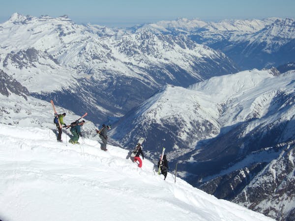
7.5 km away
Morgin's village north face line

A long walk to accessing an isolated forest line.
Extreme Freeride Skiing
- Distance
- 2.8 km
- Ascent
- 33 m
- Descent
- 516 m

Fun adventure with a little camping mission to check out the snow
Freeride Skiing Severe

A face we have been eyeballing the whole season. It’s a tricky one, kind of low, pure north, not always enough snow and subject to avalanche danger most of the time. We didn’t want to push it on this mountain and wanted to inspect the snow a day before, therefore we took a tent and spended the night on mountain to ski in the morning with a beautiful sunrise. Everything went well and it felt like a great way to end the series with this mission. Here is the link to the video: https://youtu.be/Wu7W7HJTCKY


Severe
Steep skiing at 38-45 degrees. This requires very good technique and the risk of falling has serious consequences.
7.5 km away

A long walk to accessing an isolated forest line.
Extreme Freeride Skiing
7.5 km away

A typical arête line on this part of the mountain which is well protected from the sun.
Severe Freeride Skiing
7.5 km away

Extremely steep entrance where mistake can kill in a total autonomous situation.
Extreme Freeride Skiing
7.6 km away

An easy off piste run with a short walk, accessed from "Ecoti's 49" blue piste, accessible to most skiers.
Easy Freeride Skiing
7.7 km away

A long, not very steep line under a chairlift.
Difficult Freeride Skiing
7.8 km away

A nice little gully close to the lifts mixing steepness and a little bit of tree skiing.
Severe Freeride Skiing
7.8 km away

A line under a chairlift where a good amount of snow is needed as trees cut are present everywhere.
Difficult Freeride Skiing
7.9 km away

A nice line without many difficulties unless there's a lack of snow.
Moderate Freeride Skiing
7.9 km away

A nice mellow little off piste run with often good snow and close to the pistes.
Moderate Freeride Skiing
8 km away

A nice forest line starting gently then steepening later on.
Severe Freeride Skiing

18 routes · Freeride Skiing