8 routes · Mountain Biking
Day 6 of the exhilarating MTB Transalp from Lucerne to Aosta
Also in Bern, Switzerland
Mountain Biking Severe

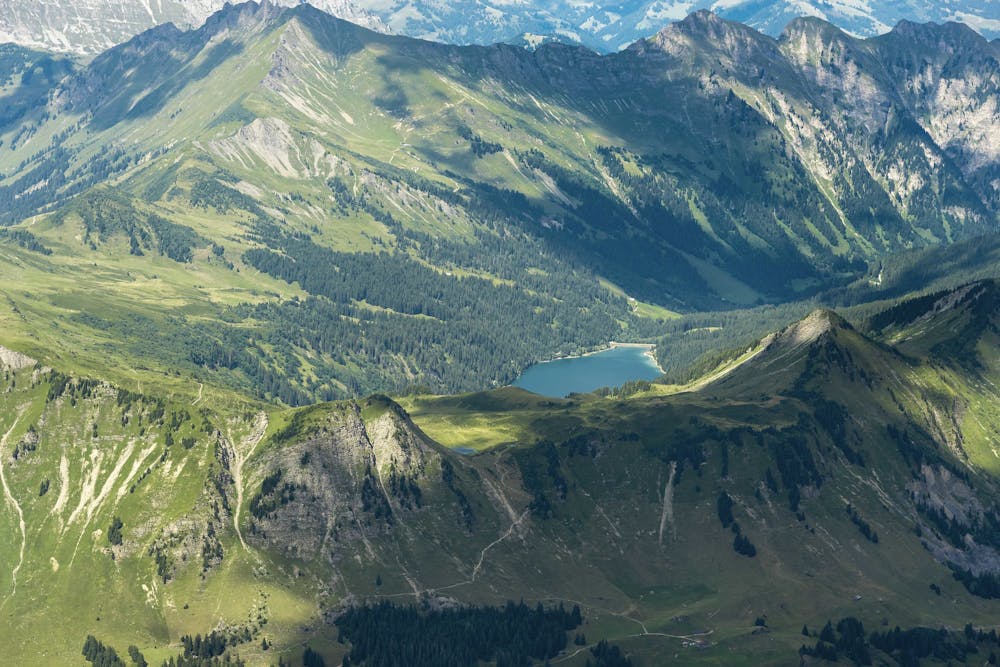
Another day begins with a big climb, this time up to 1660m. The gradient is so severe that it's pretty much impossible to bike, and the path is very rough, so be prepared to carry your bike most of the way up. Follow hiking trails down the other side to Gsteig, stopping here for a break if needed before heading up the cable car to Sanetsch. You can also climb up the steep and winding path if you want an extra challenge.
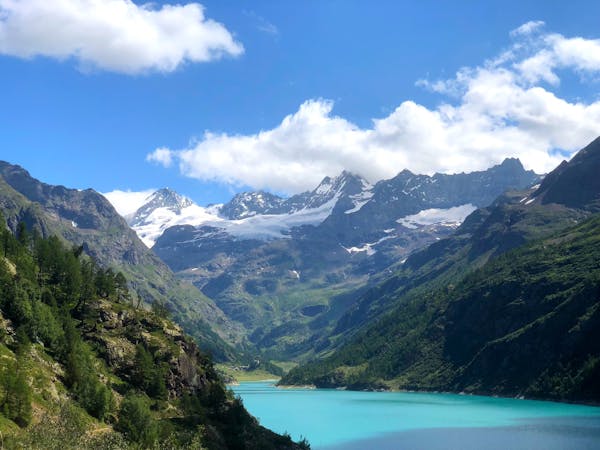
From Sanetsch, you will pass a nice reservoir before climbing up a beautiful trail and then asphalt road to 1350m. You then meet one of the Valais’ classic mountain irrigation channels, the Bisse, which is tricky to maneuver, as the path you come to is only handlebar width, with jagged rocks and deep water on the right and a steep slope on the left. You’ll be stuck on this challenging path for quite a while until you reach around 1070m. From here, it's a nice flowy stretch down to Sion and up once more to Haute-Nendaz. Sources https://www.mtb-news.de/forum/t/ta-vierwaldstaettersee-lac-leman.688902/
Severe
Widely variable, narrow trail tread with steeper grades and unavoidable obstacles of 15in/38cm tall or less. Obstacles may include unavoidable bridges 24in/61cm wide or less, large rocks, gravel, difficult root sections, and more. Ideal for advanced-level riders.

Some trail sections have exposed ledges or steep ascents/descents where falling could cause serious injury.

Away from help but easily accessed.
8 routes · Mountain Biking