10 m away
Chevreuils -> Les Cerfs
Purpose-built jump/flow line beneath the lifts of Le Tour.
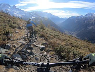
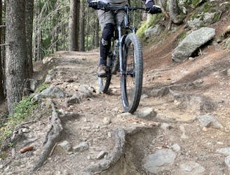
Difficult Mountain Biking
- Distance
- 4.7 km
- Ascent
- 0 m
- Descent
- 709 m
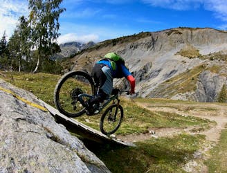
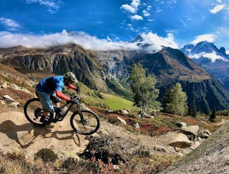
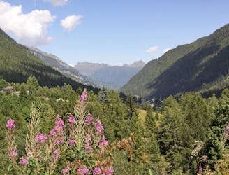
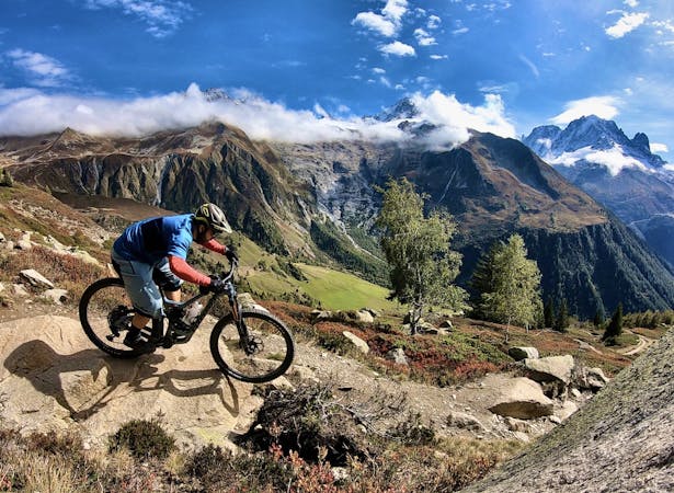
Crossing borders on perfect alpine singletrack with a stunning backdrop leading to more challenging but hugely rewarding riding through the woods.
Mountain Biking Difficult

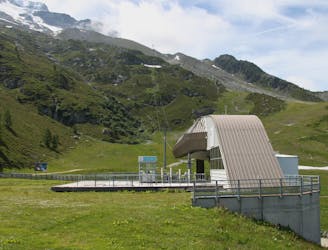
This trail is about as good as lift accessed mountain biking gets. Starting from the top of the Autannes chairlift a short pedal takes you to the Refuge du Col de Balme and over the border into Switzerland. Although the ski lifts have done most of the work for you, there’s now the final push (literally for many) up towards the Croix de Fer 70 meters above.
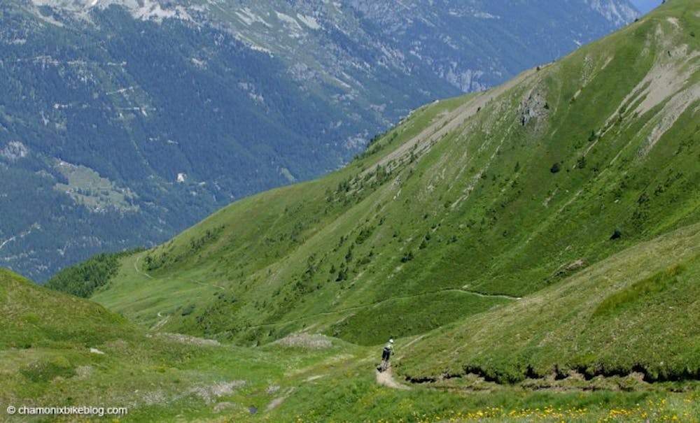
It’s all downhill after this though! A difficult section of water erroded trail at the start soon gives way to a long flowing descent towards Catogne before you swing right to work your way across the mountain with stunning views towards a hidden Lac Leman to distract you from the trail. As you move into the Trient valley the visual surprises keep coming, but the trail remains flowy and fast all the way to the tree line. From here the trail does get steeper and the infamous alpine switchbacks start to feature more regularly, however it’s never too sustained or too steep, so walking short sections shouldn’t break your flow too much. After 1300m of descending you finally roll into Trient, where you need to decide, back round to the Vallorcine lifts by the road and/or train, or right to continue into the Tour du Mont Blanc...?
This trail is a variant of the Tour du Mont Blanc and so can get busy with walkers during the peak walking season of July and August. Although at the time of writing there are no restrictions on its use by MTB’s, it’s often best to ride it later in the day when there are fewer walkers.
Difficult
Mostly stable trail tread with some variability featuring larger and more unavoidable obstacles that may include, but not be limited to: bigger stones, roots, steps, and narrow curves. Compared to lower intermediate, technical difficulty is more advanced and grades of slopes are steeper. Ideal for upper intermediate riders.

The trail contains some obstacles such as outcroppings and rock which could cause injury.
Away from help but easily accessed.
10 m away
Purpose-built jump/flow line beneath the lifts of Le Tour.
Difficult Mountain Biking
11 m away
Les Posettes beginning from and returning to Le Tour lifts.
Severe Mountain Biking
1.9 km away
Alternative, less demanding variation on the classic Posettes trail
Difficult Mountain Biking
3.3 km away
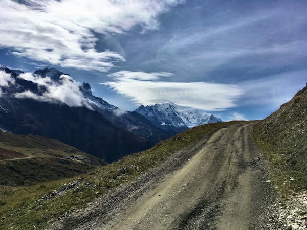
A punishing climb provides access to an incredible descent amid stunning alpine scenery.
Difficult Mountain Biking
5.2 km away
Stunning alpine scenery reserved for those who don't mind carrying their bike for it!
Extreme Mountain Biking
5.5 km away
One of the smoothest, flowiest benchcut trails in Chamonix.
Difficult Mountain Biking
5.9 km away
A great loop through terrain which is busy in winter but pleasantly quiet in summer.
Moderate Mountain Biking
14 routes · Mountain Biking
4 routes · Mountain Biking · Gravel Biking