2.6 km away
Simplon Hospice to Margaroli Hut
A long day crossing many cols and finishing in Italy
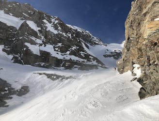
Severe Ski Touring
- Distance
- 36 km
- Ascent
- 2.9 km
- Descent
- 2.7 km
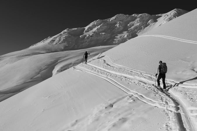
A quick but not trivial adventure along steep slopes to a panoramic summit
Ski Touring Moderate

The track starts from the Engiloch car park and climbs first along the sparse stretch of forest to the Ritzibach waterfall, which shall be kept on your right (orographic right) going up a steep slope that needs well-settled snow. It then proceeds along the plain of the Sirwoltu lakes reaching the last, very inclined, traverse from 2620 to 2700 m. From here it goes easily to the summit. The easiest and safest descent is the one that goes along the ascent track, but many couloirs can be used to return to the initial wooded stretch.
Moderate
Slopes become slightly steeper at around 25-30 degrees.

Exposure is limited to that of the slope itself. Getting hurt is still likely if the slope is steep and/or the snow is hard.
Close to help in case of emergency.
2.6 km away
A long day crossing many cols and finishing in Italy
Severe Ski Touring
9.9 km away
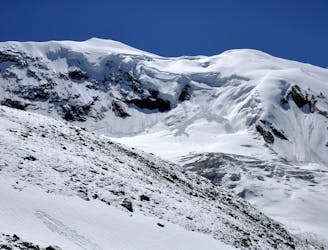
A complicated and isolated glacial peak with amazing views.
Severe Ski Touring

6 routes · Ski Touring
4 routes · Ski Touring
16 routes · Ski Touring