2.6 km away
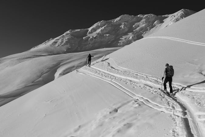
Simplon Hospice to Margaroli Hut
A long day crossing many cols and finishing in Italy
Severe Ski Touring
- Distance
- 36 km
- Ascent
- 2.9 km
- Descent
- 2.7 km
An all-season, all-challenges route.
Ski Touring Moderate
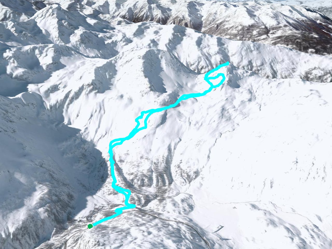
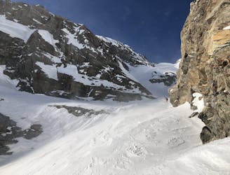
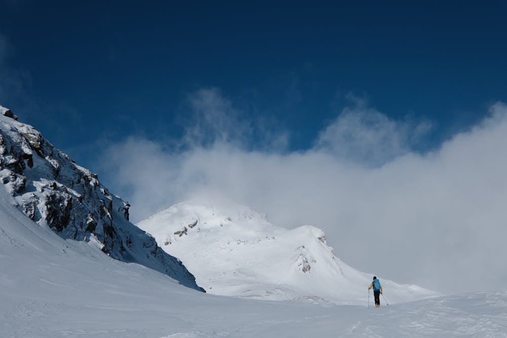
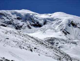
This itinerary shares the first part of the route with the climbs for the Galehorn, Schilthorn and Boshorn. From the parking lot of Nideralp continue in the direction of the Ritzibach, keeping on the ridge that takes up the orographic left. Continue along this until you reach the level of an evident rocky prominence, which is overcome by keeping it on your right and continuing in a north-west direction along the ridge of Hotossu. Reaching a small and hidden valley, the Magehorn stands out in front of your view. From here you can choose various itineraries, depending on physical capacity, weather conditions and snow. We went up the South-East side, aiming for a steep channel that we had to postpone for a day with less clouds and less wind. We then descended towards the classic route (which originates back from the southern ridge) and from there, in an obvious direction, we reached the summit. Descent along the ascent route with excellent snow.
Moderate
Slopes become slightly steeper at around 25-30 degrees.

Exposure is limited to that of the slope itself. Getting hurt is still likely if the slope is steep and/or the snow is hard.
Close to help in case of emergency.
2.6 km away
A long day crossing many cols and finishing in Italy
Severe Ski Touring
9.9 km away
A complicated and isolated glacial peak with amazing views.
Severe Ski Touring

6 routes · Ski Touring
4 routes · Ski Touring
16 routes · Ski Touring