9.8 km away
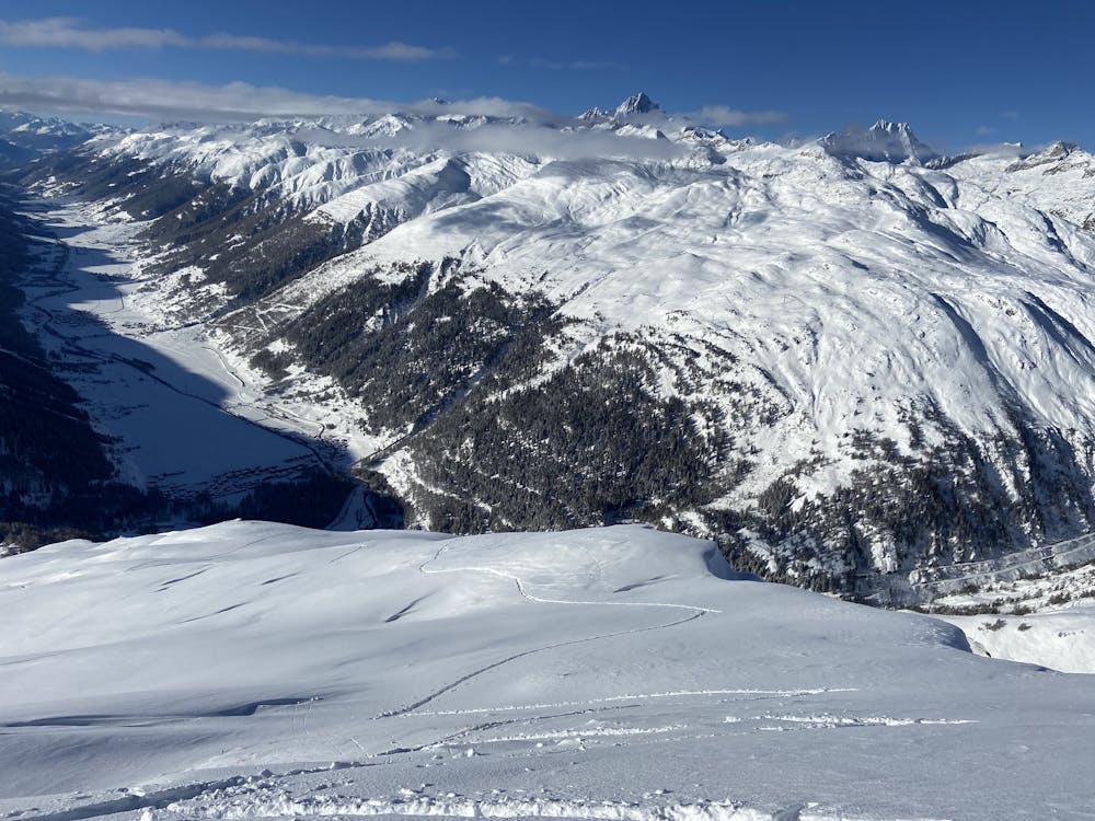
Tour de Soleil: Piansecco to Rotondo Hut, via Witenwasserenstock
Day 5: Piansecco to Rotondo Hut, via Witenwasserenstock
Severe Ski Touring
- Distance
- 8.1 km
- Ascent
- 1.1 km
- Descent
- 473 m
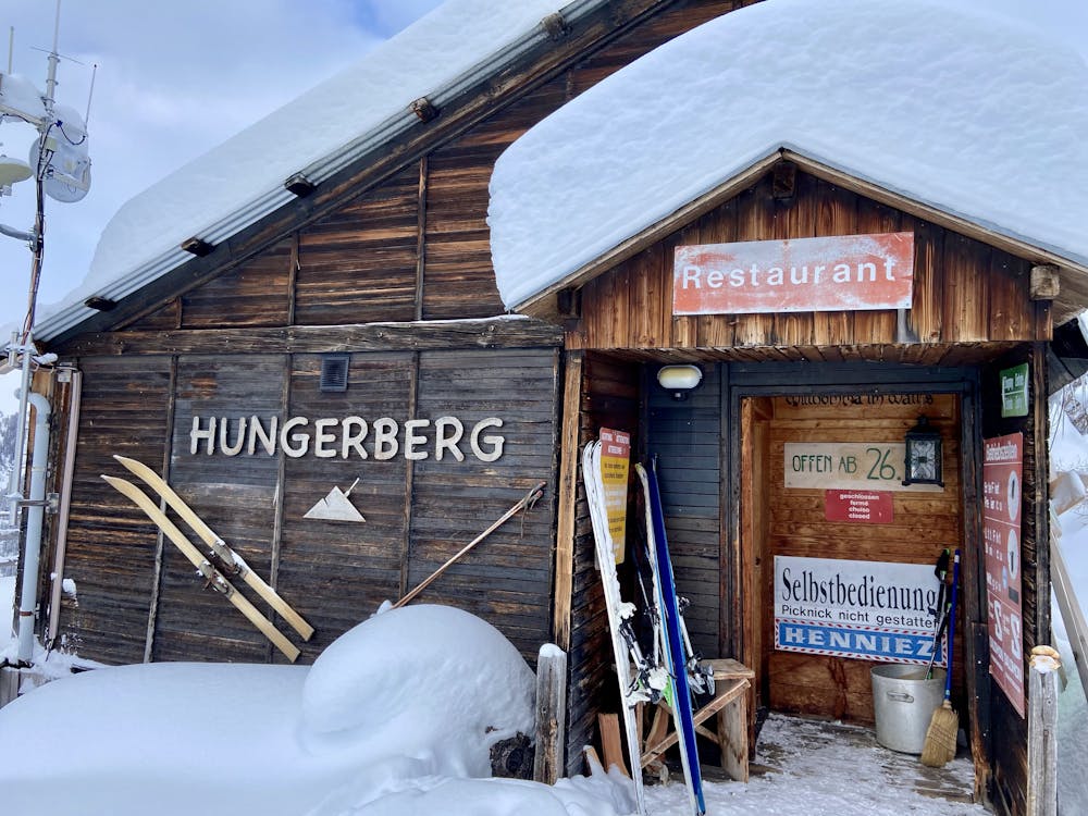
A short tour through the old Hungerberg ski resort to the west face of Tällistock
Ski Touring Moderate

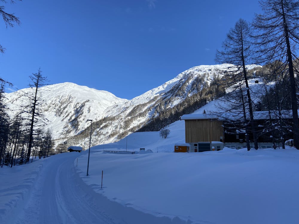
A short tour starting from the car park of the old Hungerberg ski resort where you climb through the forest on the summer walking trails. After reaching the treeline at 2200 metres follow the ridge until you meet the large cross at the false summit, from here there is a large plateau with views of Tällistock and the surrounding mountains. Those wanting to travel further should bring crampons for skis and boots.
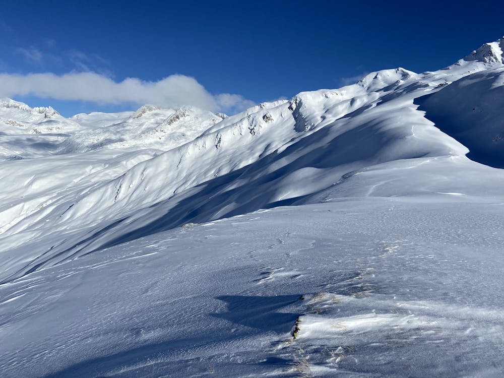
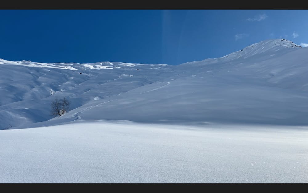
After reaching the false summit line choices will be found on the west face where a short featureless pitch will be found. Staying above the trees will leave you on another summer trail that contours round the mountain and eventually back to the old ski resort.
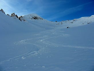
Moderate
Slopes become slightly steeper at around 25-30 degrees.

As well as the slope itself, there are some obstacles (such as rock outcrops) which could aggravate injury.
Away from help but easily accessed.
9.8 km away
Day 5: Piansecco to Rotondo Hut, via Witenwasserenstock
Severe Ski Touring
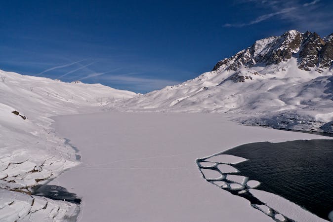
9.9 km away
Day 6: Pizzo Lucendro then down to Realp
Severe Ski Touring
6 routes · Ski Touring