5.3 km away
Tour de Soleil: Ascent of the Ofenhorn
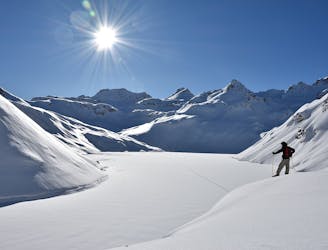
Day 2: Ascent of the Ofenhorn, 3236m
Severe Ski Touring
- Distance
- 9.4 km
- Ascent
- 920 m
- Descent
- 1.1 km
Day 1: A positioning day up the wild and beautiful Binntal to a lovely hut
Ski Touring Difficult

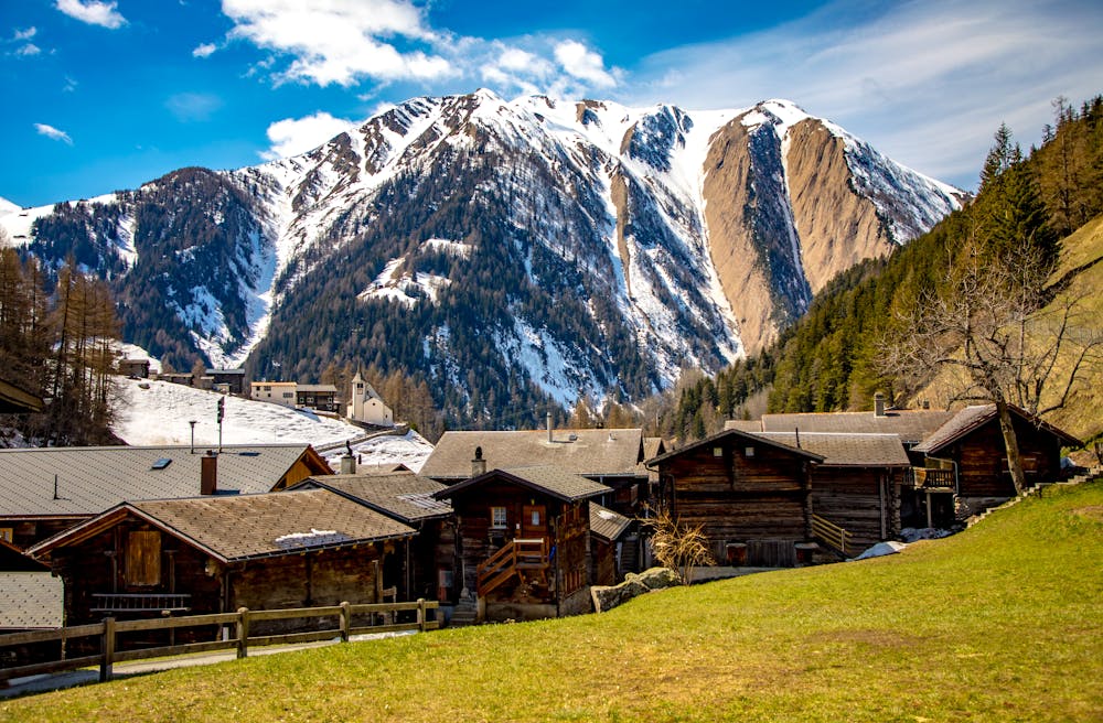
From Fiesch there is a bus that takes you to the village of Binn. Our tour starts a little further up the road at Fald. This road may be snow covered in which case you can skin or walk/taxi as needed.
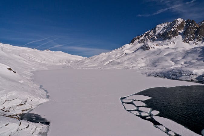
From Fald you follow the valley to the E on an old smugglers trail to the well positioned small Mittlenberg Hut at 2393m, with great views. If you have extra energy in the afternoon you can do a small circular tour ascending the Mittleberg, 2537m, above the hut, then descending to the N, W and then S down the Turbewasser and the shoulder to its skiers' R, before reascending to the hut.
Difficult
Serious gradient of 30-38 degrees where a real risk of slipping exists.

As well as the slope itself, there are some obstacles (such as rock outcrops) which could aggravate injury.

Little chance of being seen or helped in case of an accident.
5.3 km away
Day 2: Ascent of the Ofenhorn, 3236m
Severe Ski Touring
6 routes · Ski Touring