Grächen Berglauf
The Mischabel Range
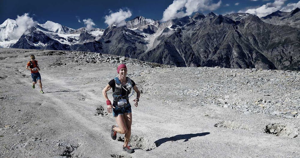
UTMR's shortest event at 23 km - fast, fun and very scenic
Trail Running Moderate
- Distance
- 23 km
- Ascent
- 1.4 km
- Descent
- 1.3 km
- Duration
- 4-5 hrs
- Low Point
- 1.6 km
- High Point
- 2.7 km
- Gradient
- 18˚

This is a popular trail running route which is generally considered to be moderate. It's not remote, it features medium exposure and is typically done between June and October. From a low point of 1.6 km to the maximum altitude of 2.7 km, the route covers 23 km, 1397 vertical metres of ascent and 1291 vertical metres of descent.
Description
A great mix of forest, mountain, steep climb and runnable descent.
Difficulty
Moderate
Medium Exposure

The trail contains some obstacles such as outcroppings and rock which could cause injury.
Remoteness

Close to help in case of emergency.