44 m away
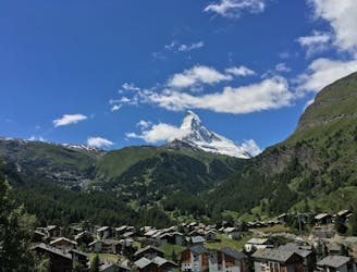
The Ultimate Matterhorn Loop
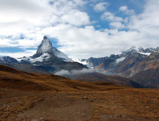
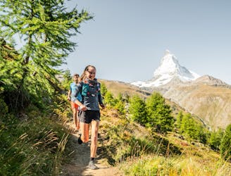
Get up close and personal with Switzerland's most famous peak.
Moderate Trail Running
- Distance
- 25 km
- Ascent
- 2 km
- Descent
- 2 km
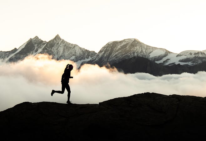
Run steep, get high.
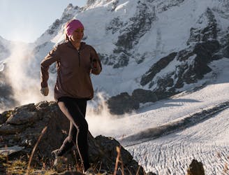
Trail Running Severe

As one of the highest hiking routes in the Alps, the Mettelhorn is as stunning as it is challenging. Check the weather and conditions before beginning as this trail climbs some serious vertical metres, contrasting from the cosy village of Zermatt to high alpine terrain within a few hours. Ensure you’ve got some warmer gear for the top. It also helps to bring microspikes for the short glacier crossing that can be icy on the edge of the seasons.
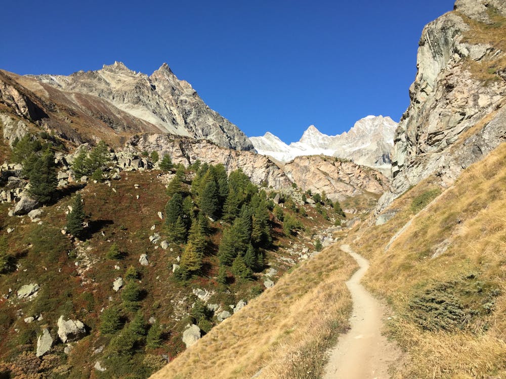
Start from Zermatt and set your goal for the summit of Mettelhorn, a 3400m peak on the west side of the Mattertal. Sister peaks Wisshorn and Platthorn can be bagged along the way. For a shorter day out, continue down to Trift from Wisshorn.
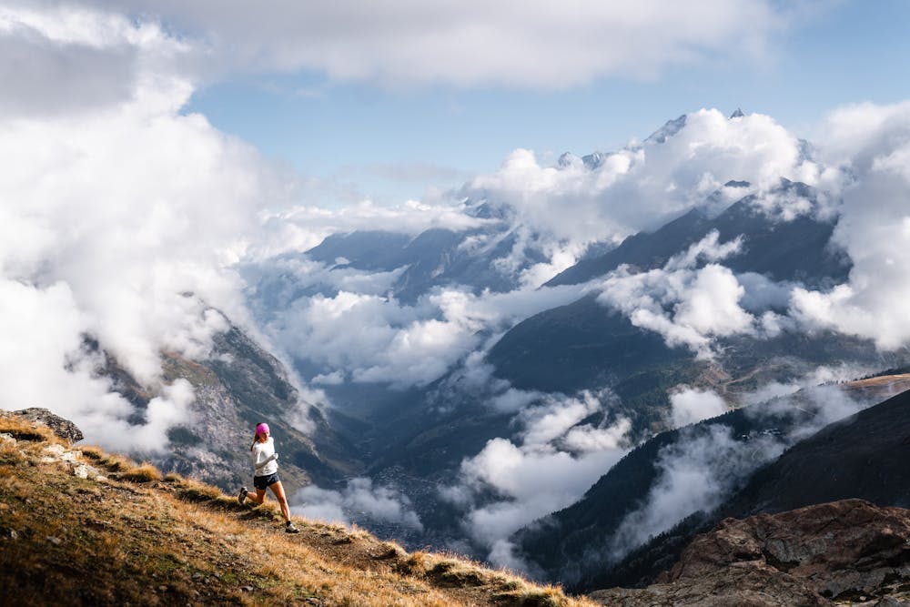
After a few hours of relentless ascent, you’ll cross a small snowfield, and then it’s a short and steep rocky climb to the summit. From here, soak up the panorama of famous peaks, including the Weisshorn, Dom, Monte Rosa, Obergabelhorn, Zinal Rothorn, and the north face of the Matterhorn. We recommend to set off before dawn for extra optical magic as the sun rises.
After the hard work on the way up, be ready for the fast descent that flows down zig-zagging single trail past the Trift hut. Stop here for food and drinks before letting yourself go on the final downhill back into town.
Severe

Some trail sections have exposed ledges or steep ascents/descents where falling could cause serious injury.
Little chance of being seen or helped in case of an accident.
44 m away
Get up close and personal with Switzerland's most famous peak.
Moderate Trail Running
145 m away
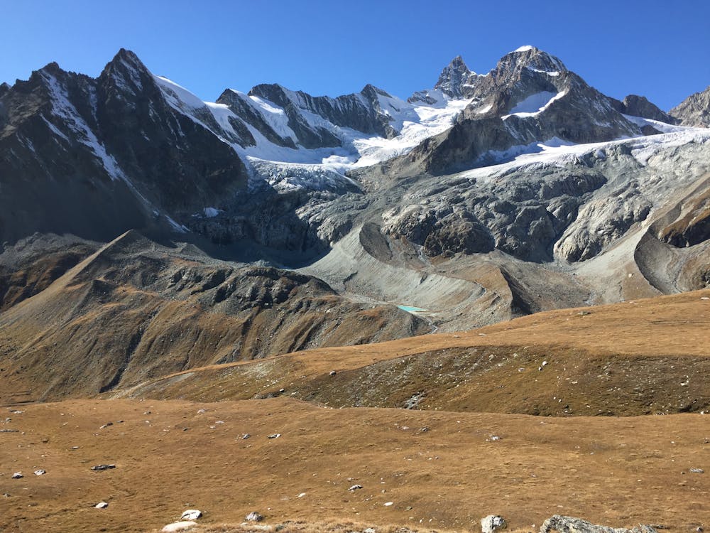
Top out at the alpine lake boasting the most spectatcular Matterhorn view.
Moderate Trail Running
2.8 km away
Trails, brews & epic views...
Easy Trail Running
2.8 km away
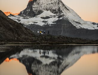
Well worth waking up early for.
Difficult Trail Running
2.8 km away
Of marmots & Matterhorn views: the quintessential Zermatt trailrun.
Moderate Trail Running
9.1 km away
Take the trail instead of the train.
Moderate Trail Running
7 routes · Trail Running