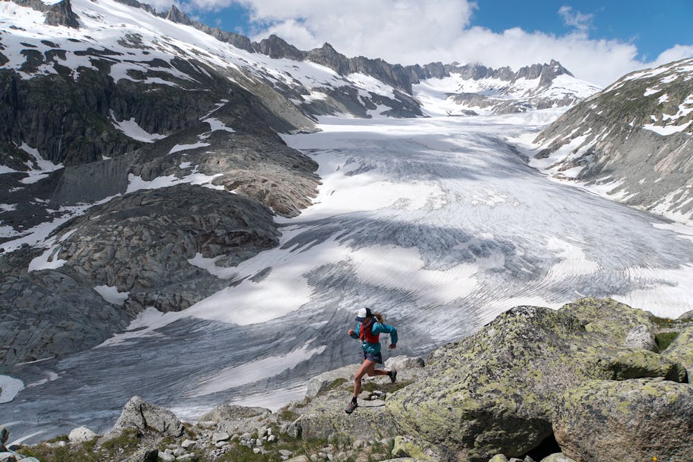
Trailrunning beside the Rhône Glacier
Starting from Gletsch and climbing up to incredible views and trails right next to the diminishing Rhone Glacier.
Trail Running Difficult
- Distance
- 14 km
- Ascent
- 802 m
- Descent
- 450 m
- Duration
- 2-3 hrs
- Low Point
- 1.8 km
- High Point
- 2.5 km
- Gradient
- 13˚

This is a popular trail running route which is generally considered to be difficult. It's an unknown remoteness, it features medium exposure and is typically done between June and September. From a low point of 1.8 km to the maximum altitude of 2.5 km, the route covers 14 km, 802 vertical metres of ascent and 450 vertical metres of descent.
Description
Running the trails beside the magnificent Rhone Glacier
Difficulty
Difficult
Medium Exposure

The trail contains some obstacles such as outcroppings and rock which could cause injury.