UTMR Höhenweg 58 km
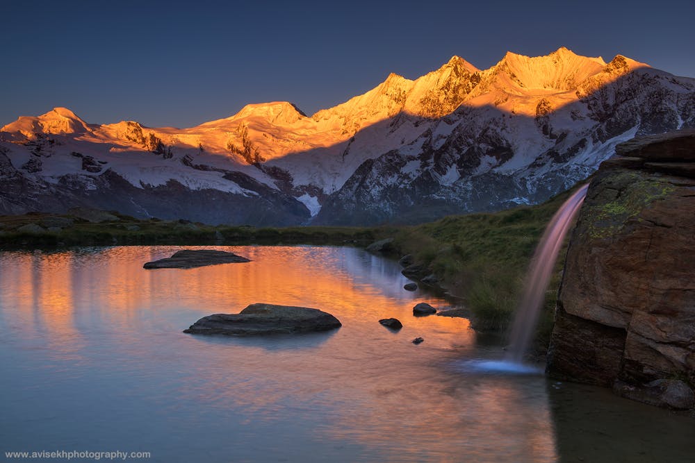
The Mischabel Range
58 km trail ultra complimenting the long UTMR events
Trail Running Difficult
- Distance
- 58 km
- Ascent
- 3.8 km
- Descent
- 3.8 km
- Duration
- 1 day +
- Low Point
- 934 m
- High Point
- 2.5 km
- Gradient
- 18˚

This is a popular trail running route which is generally considered to be difficult. It's not remote, it features medium exposure and is typically done between July and October. From a low point of 934 m to the maximum altitude of 2.5 km, the route covers 58 km, 3770 vertical metres of ascent and 3763 vertical metres of descent.
Description
Feature long runnable traverse with mountain views!
Difficulty
Difficult
Medium Exposure

The trail contains some obstacles such as outcroppings and rock which could cause injury.
Remoteness

Close to help in case of emergency.