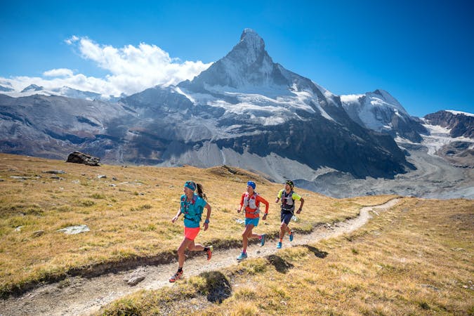
9 routes · Trail Running
CABANE D’ESSERTZE TO CABANE AIGUILLE ROUGE
Trail Running Difficult
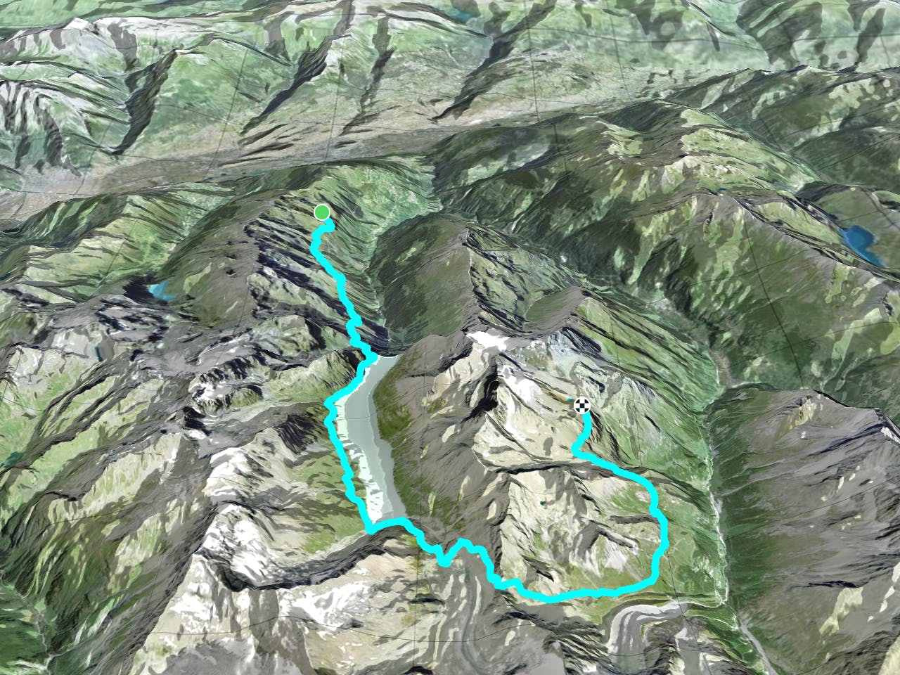
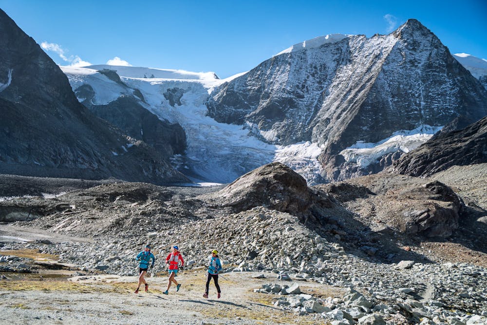
Stage two continues from hut to hut, the Cabane d’Essertze to Cabane Aiguille Rouge, without dropping into the valleys. A high traverse lined with blueberry bushes above the Val d’Hérémence leads to the Grande Dixence, the world’s highest gravity dam. From there, a flat run on the gravel road alongside the Lac de des Dix leads to a steep climb over the Pas de Chèvre. Head into the Val d'Arolla and the Cabane Aiguille Rouge for the night.
Bonus Peak: Mont de l’Etoile (3370m) 5km, 600m+/-
Download the GPX file here: http://bit.ly/ViaValaisStage2
Difficult
9 routes · Trail Running