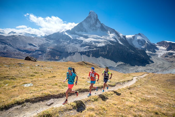
9 routes · Trail Running
CABANE AIGUILLE ROUGE TO CABANE BECS DE BOSSON
Trail Running Severe

Leaving the Cabane Aiguille Rouge, this stage starts downhill. First sweeping down a rocky moonscape, past the Lac Bleu, an upward angling traverse, and finally dropping through larch forest into the small town of Evolène in Val d'Hérens. This is the first time since leaving Verbier, that the route descends to reach a town, and then goes right back into the high mountains until arriving at Zinal on stage 5.
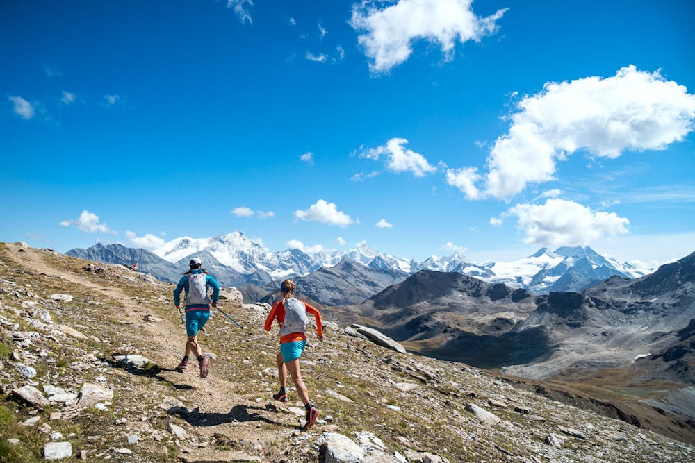
While a good place to stop for lunch and restocking supplies, Evolène isn’t the endpoint for the day. From town, there’s a 1600 meter climb to the Pas de Lovégno. After the pass, it’s onward to the Cabane des Becs de Bosson.
Bonus Peak: Becca de Lovégno (2769m) 1km, 125m+/-
Download the GPX file here: http://bit.ly/ViaValaisStage3
Severe
9 routes · Trail Running