9.3 km away
Randa to Zermatt
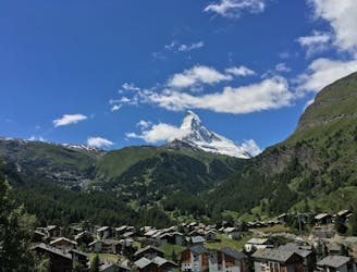
Take the trail instead of the train.
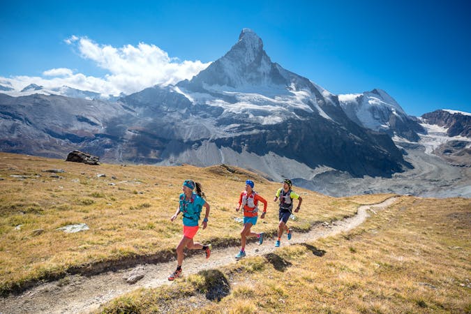
Moderate Trail Running
- Distance
- 24 km
- Ascent
- 1.9 km
- Descent
- 1.7 km
TURTMANN HUT TO RANDA
Trail Running Extreme

Welcome to the Queen Stage of the Via Valais! You'll want to get an early start from the Turtmann Hut, and you'll want to pack some food to keep you going on this wild journey. It's a long, difficult day that has you as high as 3610 meters if you tag the bonus peak, the Üssers Barrhorn.
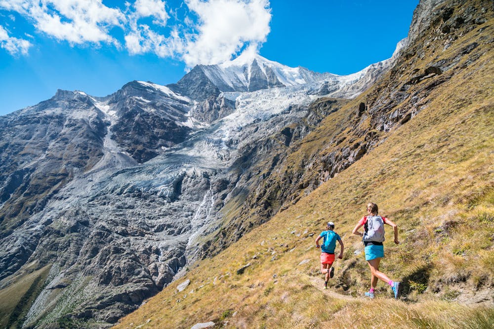
From the hut, you'll quickly find yourself in a barren, alpine landscape. The detour to the Barrhorn takes you up the highest official trail in the Alps.
From the Barrhorn, you reverse the route you came up on until you reach the Schöllijoch, or go directly to the pass if you skip the summit. The Schöllijoch is the crux of the entire Via Valais route. The descent from the pass is exposed, using ropes, cables, and ladders to reach the the glacier below. As of 2018, the glacier is not a concern to cross, the remnant is old ice, small, and has no crevasses.
Once you're over the Schöllijoch, a 2000-meter drop separates you from Randa, but not as direct as that. This downhill, has a surprising amount of uphill too, and a long traverse. Hang in there. The trail is fantastic and has some of the best views of the entire tour.
Bonus Peak: Üssers Barrhorn (3610m) 3km, 311m+/-
Consider alternative options if you are uncomfortable with the movement, exposure, or in case of bad weather.
If you decide not to attempt the Schöllijoch on Stage 7, an alternative, still not an easy day, is to go over the Augstbordpass, down to St. Niklaus and along the valley to Randa. (Turtmann Hut to Randa: 32km, 1641+ / 2739-)
Download the GPX file here: http://bit.ly/ViaValaisStage7
Extreme
9.3 km away
Take the trail instead of the train.
Moderate Trail Running
9 routes · Trail Running
7 routes · Trail Running