47 m away
Zug.Run 04 Zugerberg - Lake Ägeri
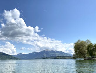
Run to Aegeri from Zugerberg and explore the hidden meadows on the Aegeri valley.
Moderate Trail Running
- Distance
- 10 km
- Ascent
- 148 m
- Descent
- 359 m
Downhill run from Zugerberg to Zug on hidden trails on mixed terrain.
Trail Running Moderate

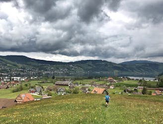
This trail is a downhill run from Zugerberg station to Zug. There is minimal ascent, offering great flow on mixed terrain with one of the best views to the lake and Zug. This trail and not only uses the well-known and popular hiking trails, but also the hidden trails around it.
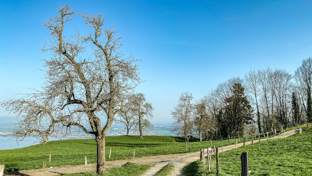
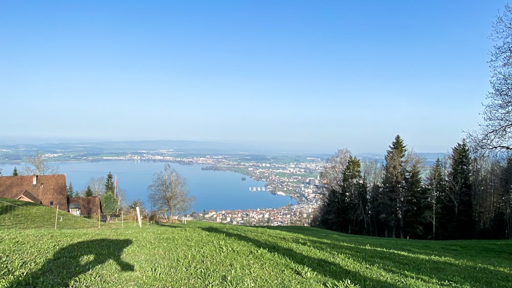
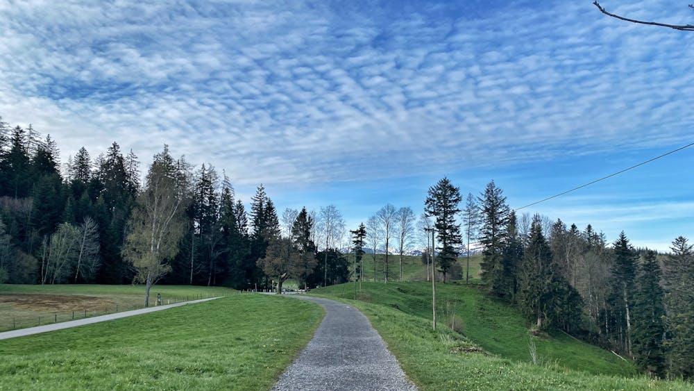
This trail starts with a couple of steps uphill towards Felsenegg on paved roads. You are immediately faced with the open space and the views of the lake. Follow the road for 1’400meter before dropping into a steep single trail in the forest turning towards the west.
After a couple of hundred of meters turn right towards North, at Altenboden the trail will continue in a nice flow on level, crossing several streams along the way.
During winter you can see through the forest with the view of Zug and Cham while in the summer the forest offers cooling shade.
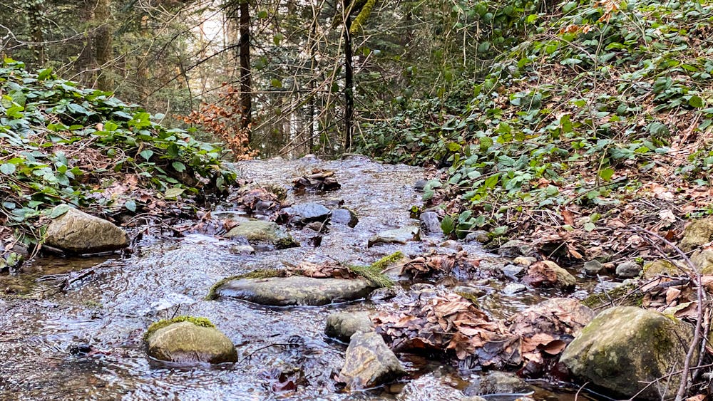
Shortly you will cross a stream by a waterfall, which is certainly the highlight of the trail.
Continue until you are out of the forest and reach the main road, continue downhill 200m and turn right on the farm road at Juchenegg.
Shortly you will cross the Zugerberg rails and back in the forest on a natural trail there is and another stream to cross, which can be done with 2 or 3 quick steps, watch out of the slippery rocks.
Follow the farm road and turn downhill on the hiking trail at the crossing. You need to go through a couple of animal gates. This section can be slippery after rainy days, in this case, you can follow the main road)
A playful path crossing the stream a couple of times require high focus while jumping across the roots and loose stones alongside the stream.
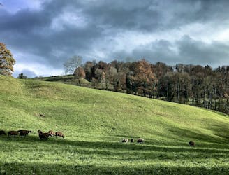
This trail is best to run in the summer months, don’t attempt it in wet weather, or if you are afraid of animals. You need to cross several pastures loaded with Cows and Sheep. The trail can be steep at times and challenging for your legs if not used to run downhill.
Check the weather conditions before heading out, Zugerberg Webcam: https://www.wwz.ch/de/privatpersonen/services/webcam-zugerberg
Moderate

The path is on completely flat land and potential injury is limited to falling over.

Away from help but easily accessed.
47 m away
Run to Aegeri from Zugerberg and explore the hidden meadows on the Aegeri valley.
Moderate Trail Running
5.7 km away
Run from Baar to Hollgrotten and back alongside the Lorze river.
Easy Trail Running
6.7 km away
This trail offers the ultimate variety starting from the Villete park in Cham.
Easy Trail Running