10 routes · Hiking
Follow the lakeside for the whole of stage 3 of the Zürichsee-Weg.
Hiking Easy

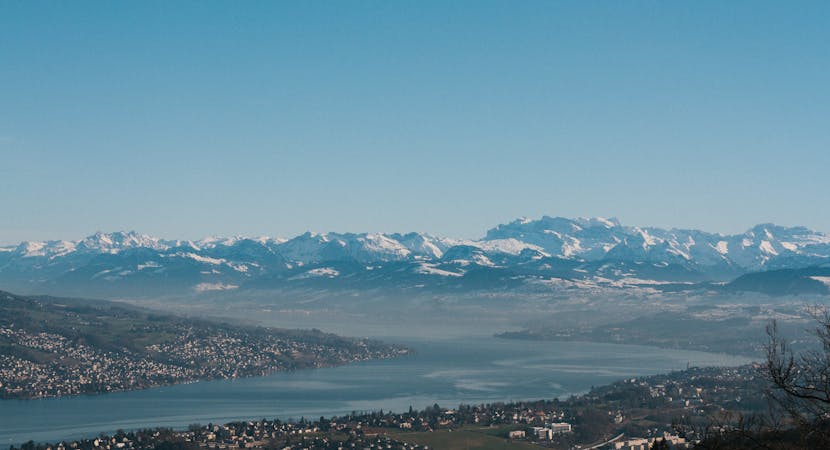
The Zürichsee-Weg (Lake Zurich trail) is a wonderful way to explore Zurich’s glistening lake and its surrounding woodlands, streams, marshlands and historical gems. Come across castles with mountain backdrops, elegant villas with sandy beaches to take a dip and medieval villages to welcome you in for a pitstop on this epic 10 stage circular hike. Follow the signposts for Swiss Mobility 84 all the way around.
This part of the hike follows the lake shoreline from Horgener Springbrunnen to Richterswil, so take the chance for a dip in the crystal clear and clean lake! You will pass the Au Peninsula which has a castle, deer park, vineyards, and natural pond, all of which are open to the public.
Sources https://www.schweizmobil.ch/en/wanderland/routes/route/etappe-01477.html https://www.zuerich.com/en/visit/sport/lake-zurich-circular-tour
Easy
Walking along a well-kept trail that’s mostly flat. No obstacles are present.

The path is on completely flat land and potential injury is limited to falling over.
Close to help in case of emergency.
10 routes · Hiking