10 routes · Hiking
An easy hike through rolling hills.
Also in Sankt Gallen, Switzerland
Hiking Easy

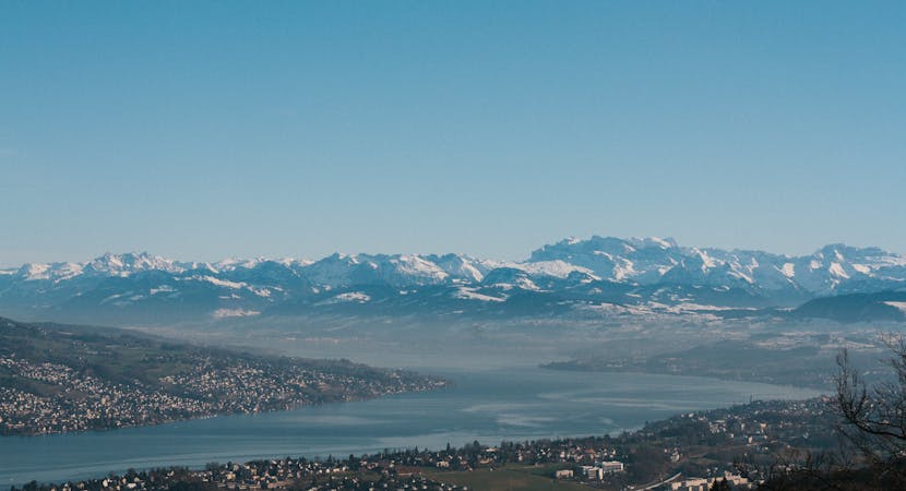
Pulling away from the lakeside, stage 7 of the hike climbs up into the hills giving you fantastic views of the Glarus and Central Swiss Alps before coming back into the beautiful old town of Stäfa.
Easy
Walking along a well-kept trail that’s mostly flat. No obstacles are present.

The path is on completely flat land and potential injury is limited to falling over.
Close to help in case of emergency.
10 routes · Hiking