10 routes · Hiking
A countryside stroll just outside of Zurich.
Hiking Easy

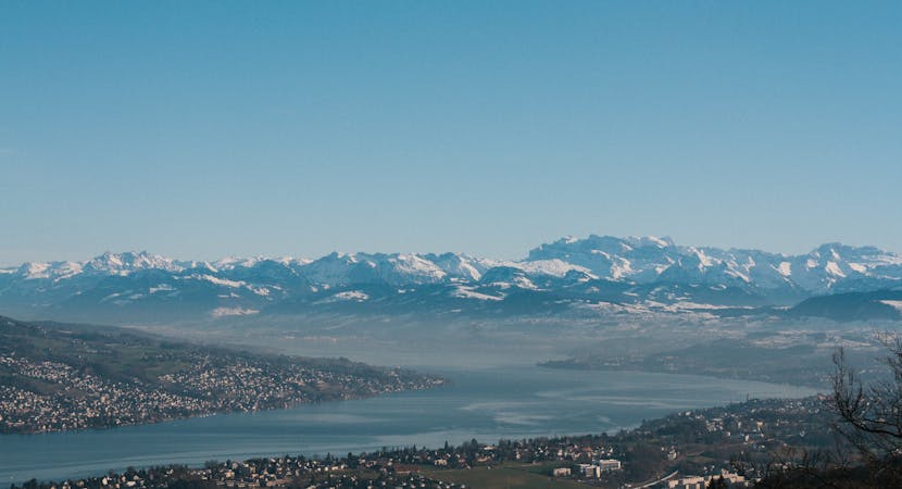
Pass by as many rich elegant villas as you do decrepit farm buildings on the penultimate stage of the Lake Zurich Trail. Fortunately the nature in the area has more harmony than the manmade development, with waterfalls, babbling brooks, pastures and hills all rolling into each other. As you get closer to Küsnacht you can check out the Ploughstone, proudly the largest boulder in the canton of Zurich and the spectacular Küsnacht Ravine.
Easy
Walking along a well-kept trail that’s mostly flat. No obstacles are present.

The path is on completely flat land and potential injury is limited to falling over.
Close to help in case of emergency.
10 routes · Hiking