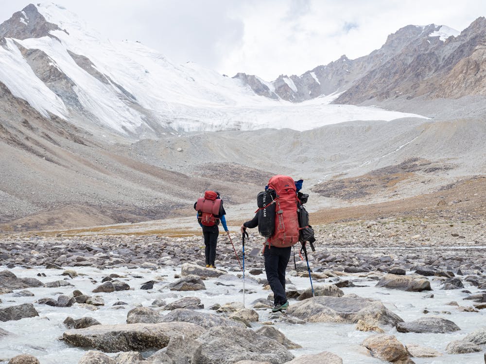
Hauling From BC to ABC
Three days of hauling gear from basecamp to advanced basecamp
Hiking Difficult
- Distance
- 4.4 km
- Ascent
- 39 m
- Descent
- 156 m
- Duration
- 0-1 hrs
- Low Point
- 4.5 km
- High Point
- 4.6 km
- Gradient
- 3˚

This is a popular hiking route which is generally considered to be difficult. It's very remote, it features low exposure and is typically done in undefined. From a low point of 4.5 km to the maximum altitude of 4.6 km, the route covers 4.4 km, 39 vertical metres of ascent and 156 vertical metres of descent.
- •
- •
- •
Description
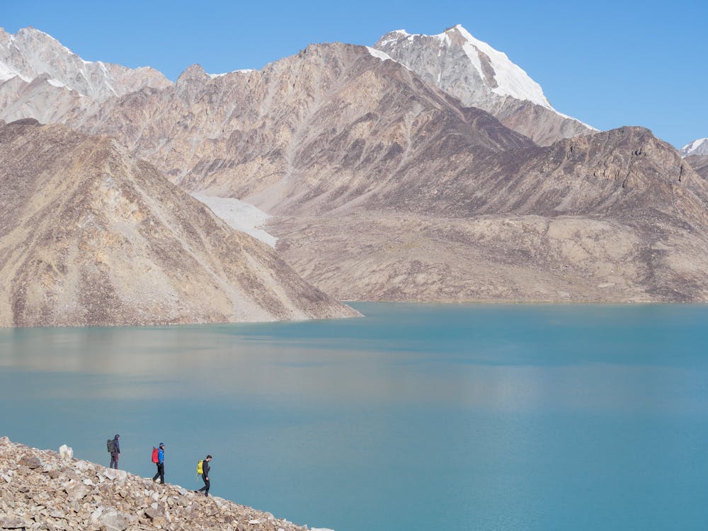
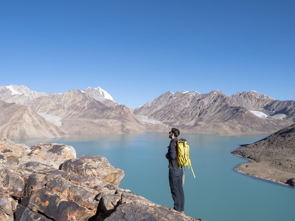
After establishing basecamp at 4508m, the team explored the shores of Lake Zaroshkul before finding an ideal site for ABC at 4633m. The next three days were spent hauling 20-30kg loads to establish ABC.
Difficulty
Difficult
Hiking trails where obstacles such as rocks or roots are prevalent. Some obstacles can require care to step over or around. At times, the trail can be worn and eroded. The grade of the trail is generally quite steep, and can often lead to strenuous hiking.
Low Exposure

The path is on completely flat land and potential injury is limited to falling over.
Remoteness

Little chance of being seen or helped in case of an accident.