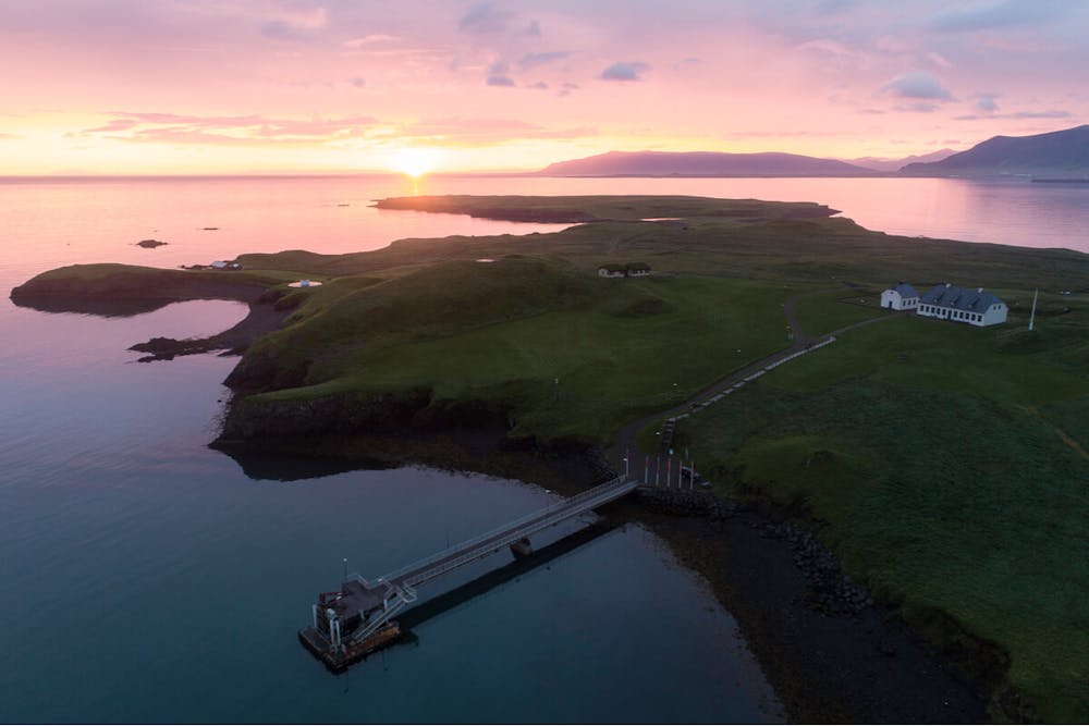
Viðeyjarhringur
Hlaupið umhverfis Viðey
Trail Running Easy
- Distance
- 8.8 km
- Ascent
- 143 m
- Descent
- 143 m
- Duration
- 1-2 hrs
- Low Point
- 0 m
- High Point
- 24 m
- Gradient
- 3˚

This is a popular trail running route which is generally considered to be easy. It's very remote, it features medium exposure and is typically done between April and September. From a low point of 0 m to the maximum altitude of 24 m, the route covers 8.8 km, 143 vertical metres of ascent and 143 vertical metres of descent.
Description
Hringur um víðerni Viðeyjar. Þarfnast ferjusiglingar
Difficulty
Easy
Medium Exposure

The trail contains some obstacles such as outcroppings and rock which could cause injury.
Remoteness

Little chance of being seen or helped in case of an accident.