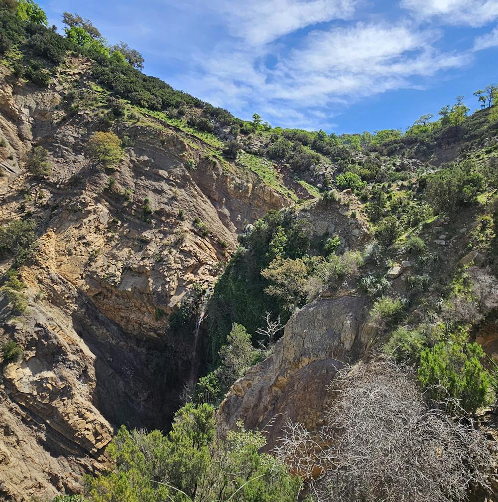
Cascades de Chrachir
Sentier tout le long, randonnée accessible.
Hiking Moderate
- Distance
- 7.9 km
- Ascent
- 377 m
- Descent
- 375 m
- Duration
- 2-3 hrs
- Low Point
- 493 m
- High Point
- 772 m
- Gradient
- 8˚

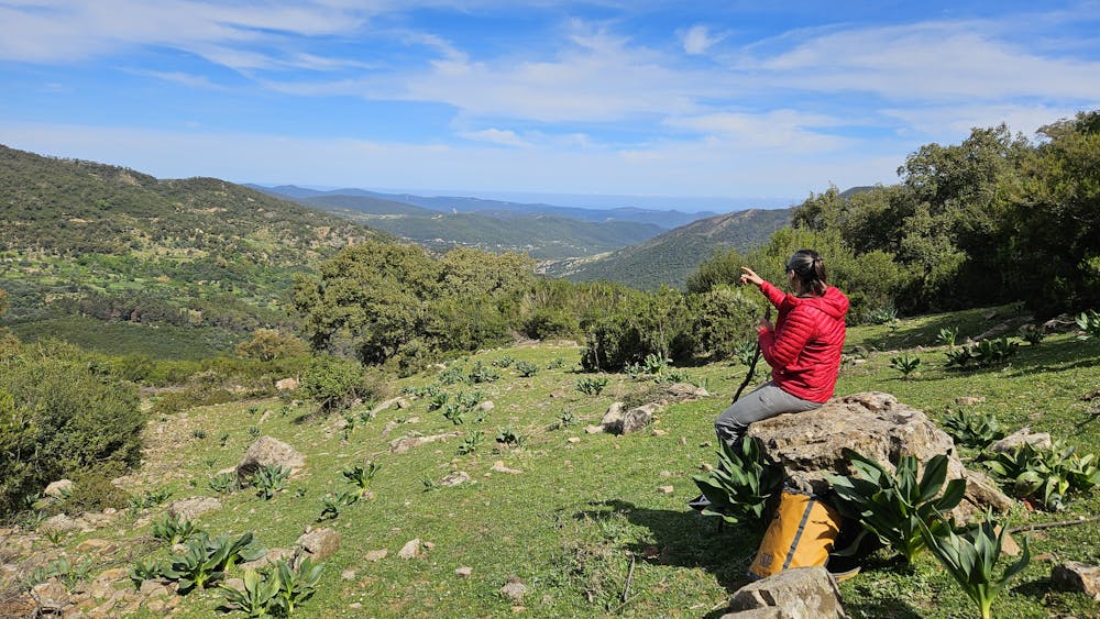
This is a popular hiking route which is generally considered to be moderate. It's not remote, it features low exposure and is typically done in undefined. From a low point of 493 m to the maximum altitude of 772 m, the route covers 7.9 km, 377 vertical metres of ascent and 375 vertical metres of descent.
- •
- •
- •
- •
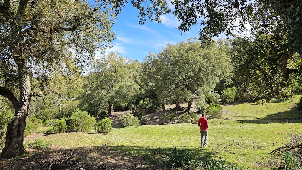
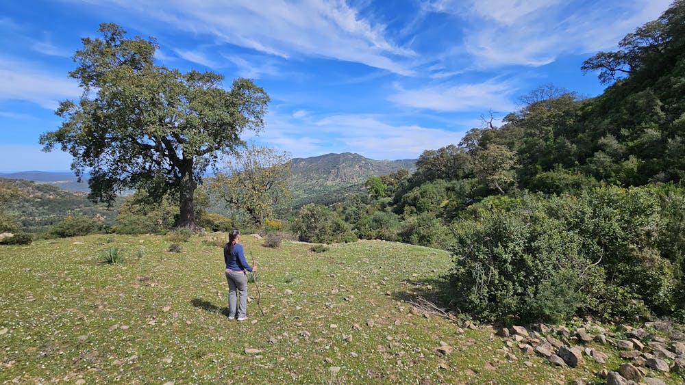
Description
Sentier tout le long, randonnée accessible.
Difficulty
Moderate
Hiking along trails with some uneven terrain and small hills. Small rocks and roots may be present.
Low Exposure

The path is on completely flat land and potential injury is limited to falling over.
Remoteness
Close to help in case of emergency.
Best time to visit
Features
- Wild flowers
- Forestry or heavy vegetation