TahtalI Dagi
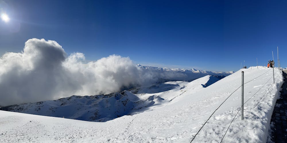
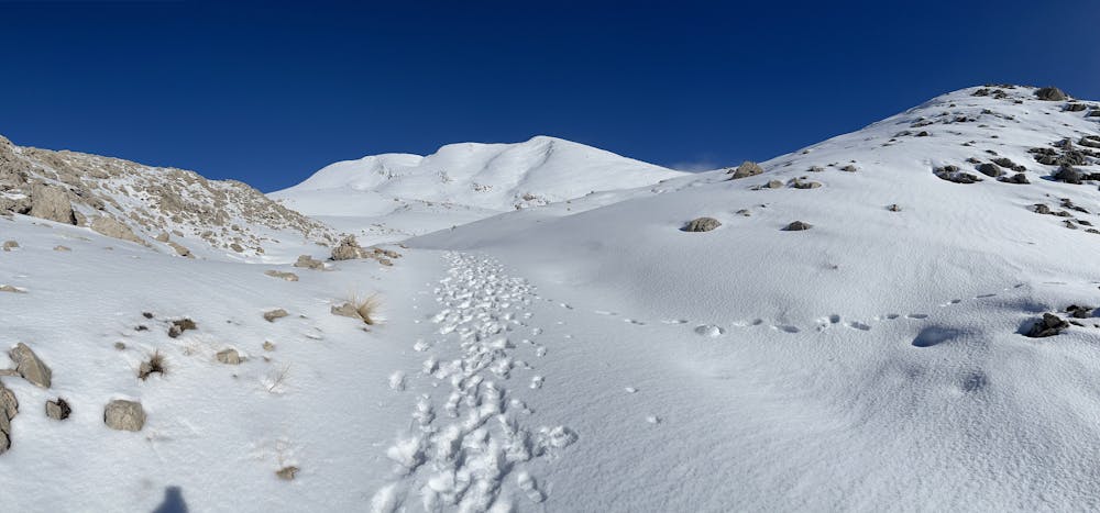
Went in Winter Time. The route is tough in winter time and moderate in the Summer
Hiking Difficult
- Distance
- 7.8 km
- Ascent
- 1.4 km
- Descent
- 22 m
- Duration
- 3-4 hrs
- Low Point
- 954 m
- High Point
- 2.3 km
- Gradient
- 18˚

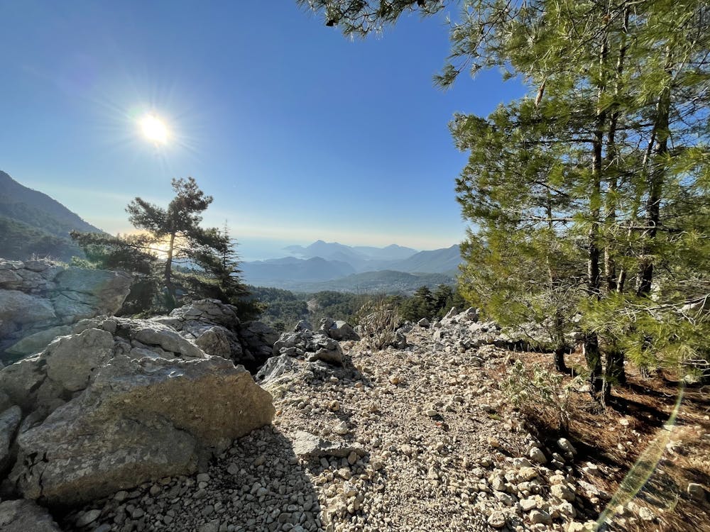
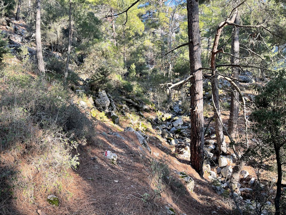
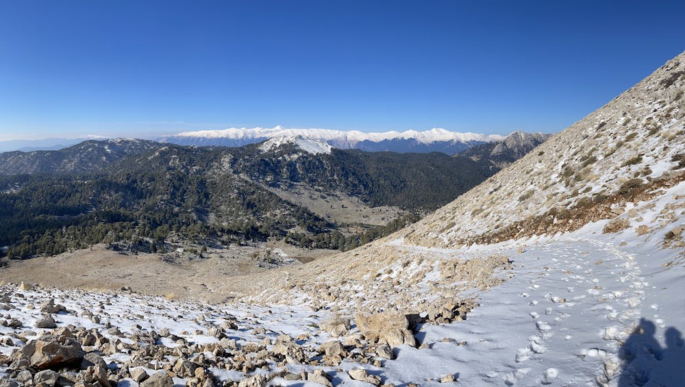
Route starts from the village named Beycik. The route is ok for Summer but I did it in Winter time, is ok till some point but after it gets very tough, especially where snow is. Also you will need proper crampons to get up to the station as the last 50 meters are very dangerous! Get some nice sun glasses and get a cap to protect your head as if it's sun will be incredibly hot, even if its lots of snow! Remember in winter time a propper equipment is a must on this mountain! If you go in winter time take with you: Nice Crampons (is a must), Boots, 3 layers clothing including the winter jacket, Sun Glasses, Hat, Hiking Sticks (is a must!), Food, Water.
- •
- •
- •
- •
- •
- •
- •
Difficulty
Difficult
Hiking trails where obstacles such as rocks or roots are prevalent. Some obstacles can require care to step over or around. At times, the trail can be worn and eroded. The grade of the trail is generally quite steep, and can often lead to strenuous hiking.
Extreme Exposure

Some trail sections are extremely exposed where falling will almost certainly result in serious injury or death.
Remoteness

Close to help in case of emergency.
Best time to visit
Features
- Wildlife
- Summit Hike
- Wild flowers
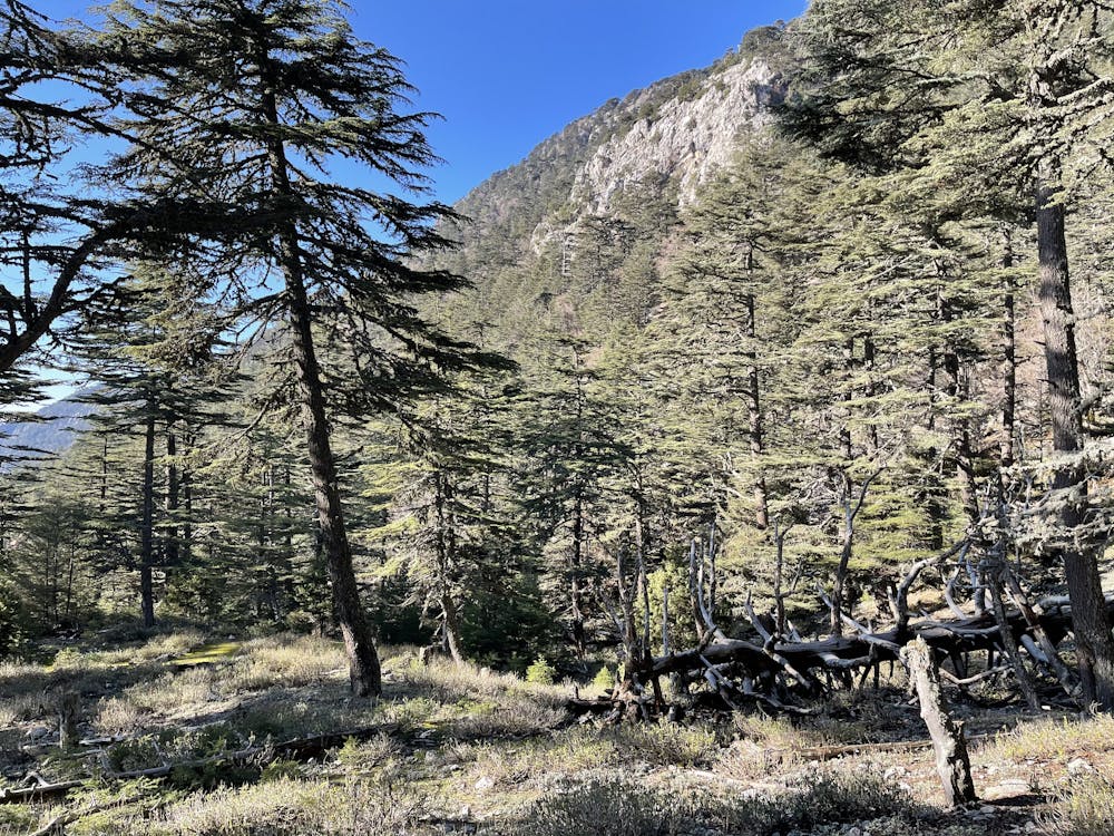
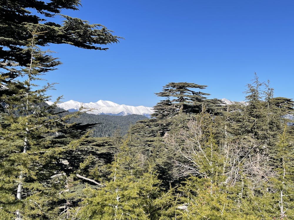
- Forestry or heavy vegetation