Yaylalar Loop
Loop near bulut mountain
Ski Touring Severe
- Distance
- 16 km
- Ascent
- 1.4 km
- Descent
- 1.3 km
- Duration
- 7-8 hrs
- Low Point
- 1.9 km
- High Point
- 3.1 km
- Gradient
- 29˚

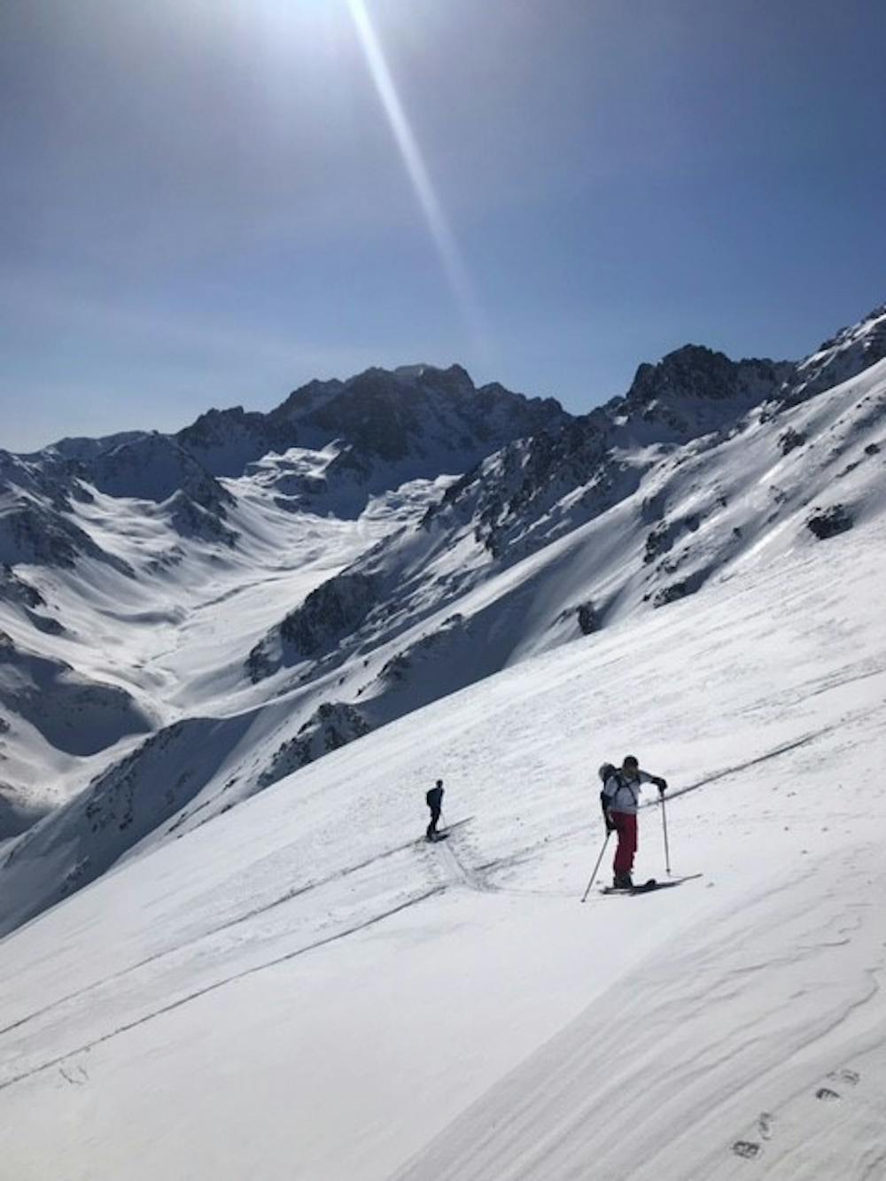
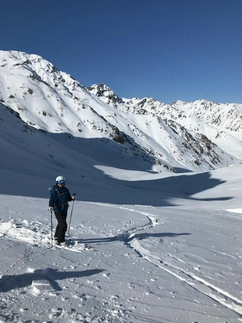
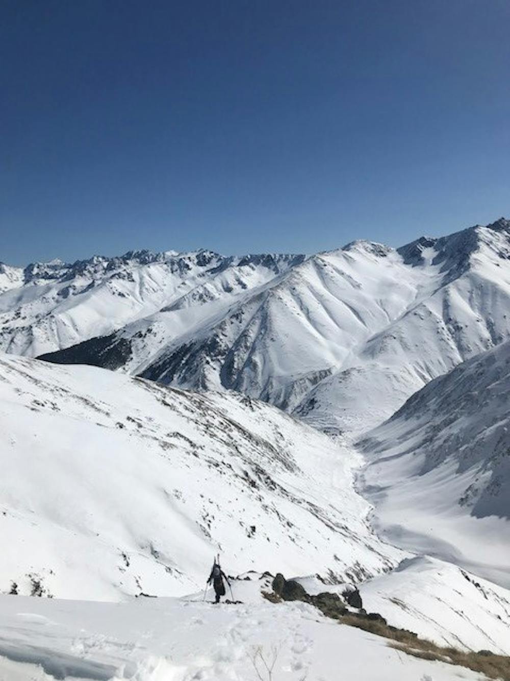
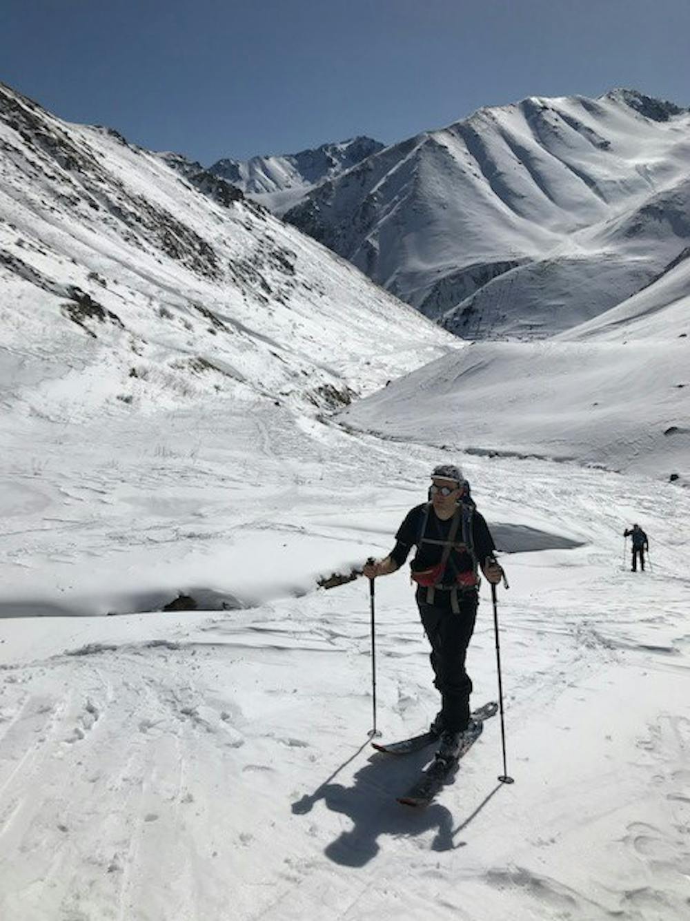
This is a popular ski touring route which is generally considered to be severe. It's remote, it features medium exposure (e2) and is typically done between January and April. From a low point of 1.9 km to the maximum altitude of 3.1 km, the route covers 16 km, 1356 vertical metres of ascent and 1349 vertical metres of descent. You'll need skins and crampons to complete it safely.
- •
- •
- •
- •
- •
- •
- •
- •
- •
Description
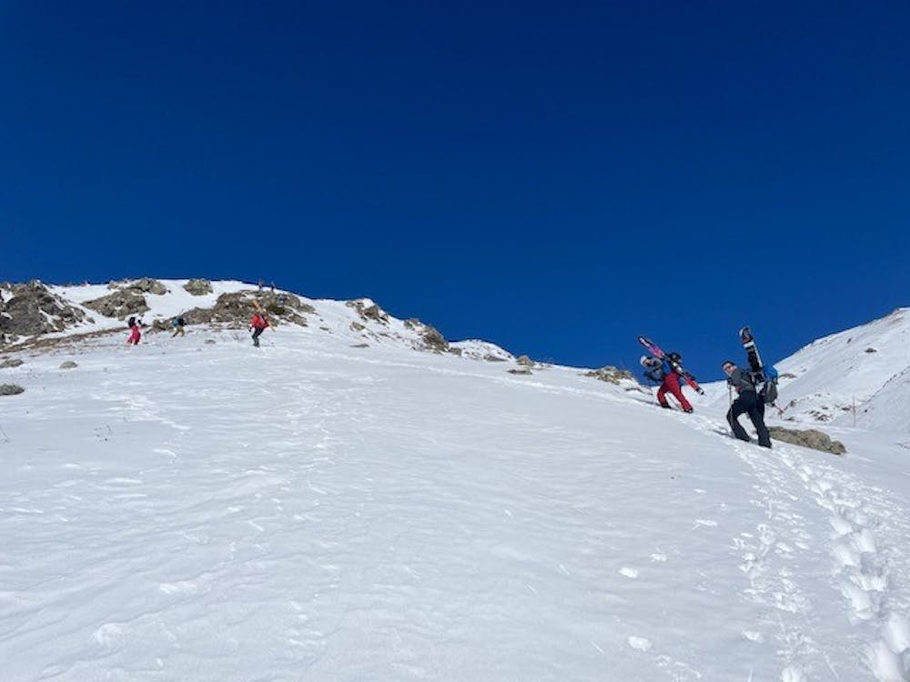
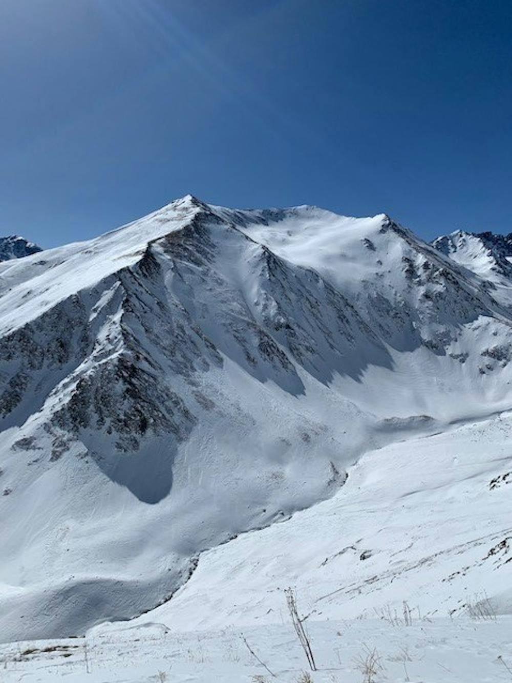
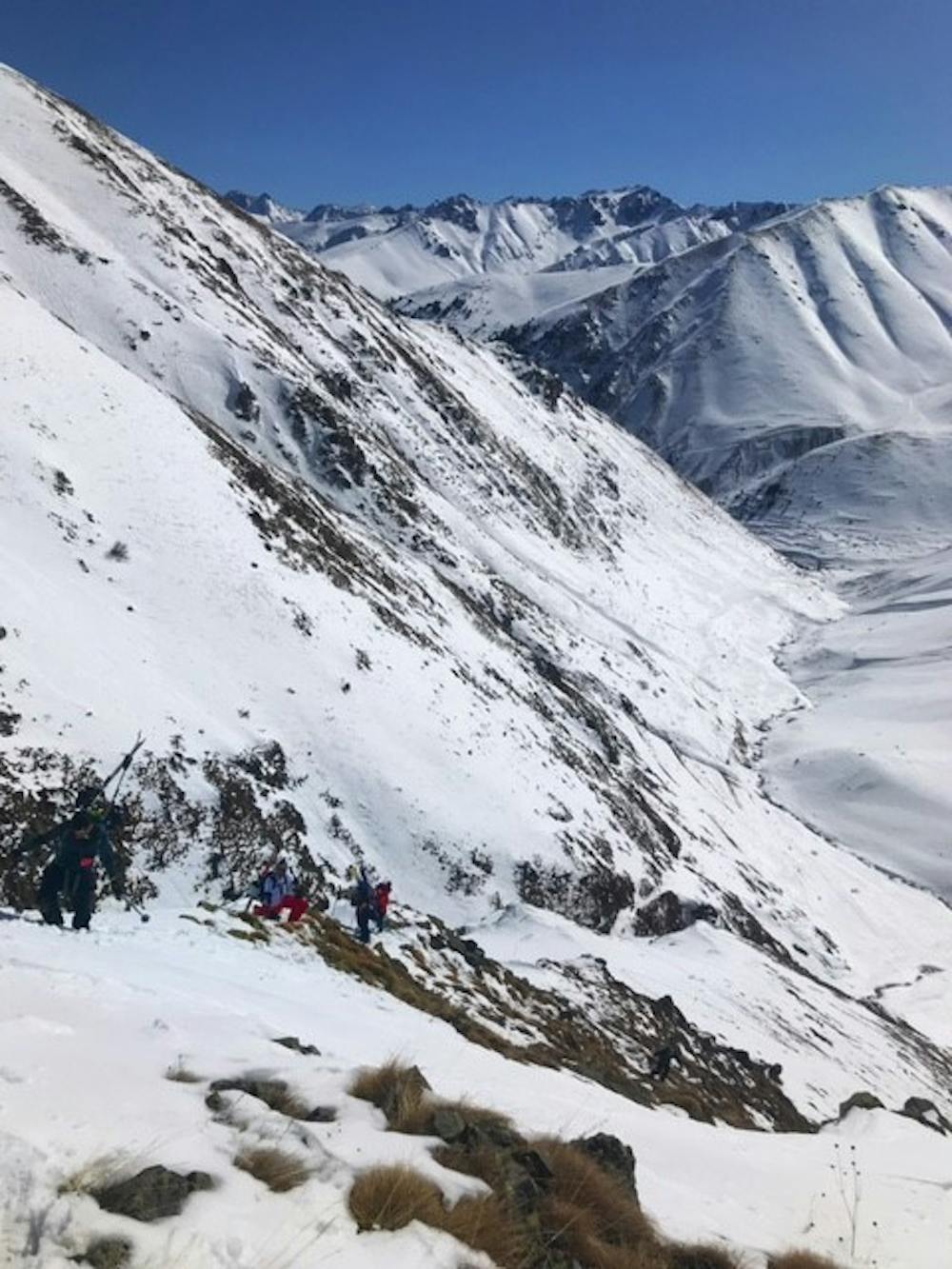
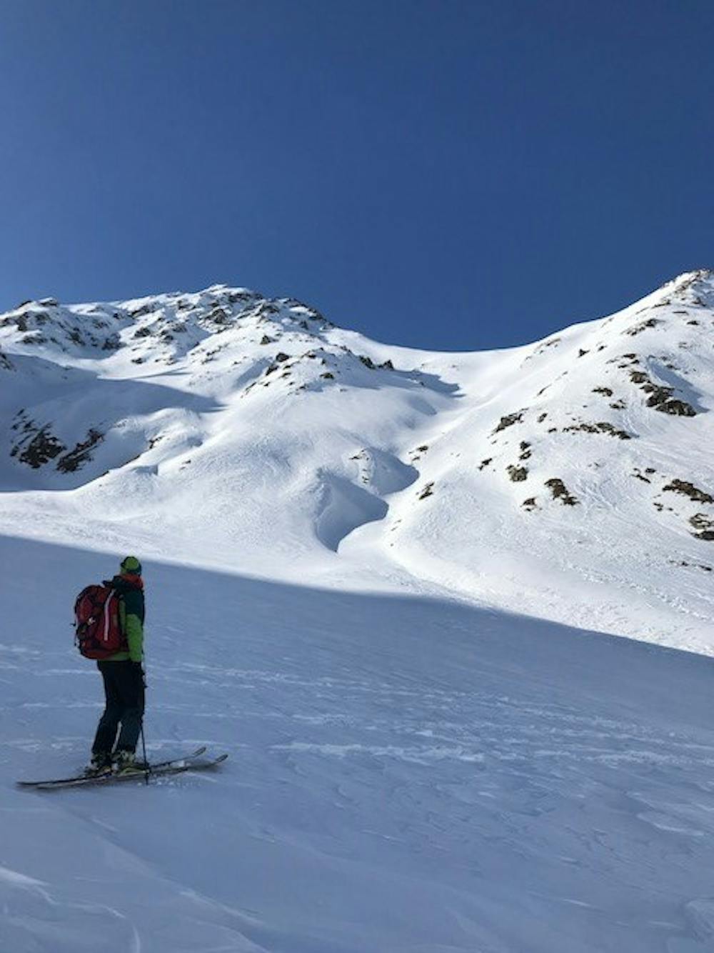
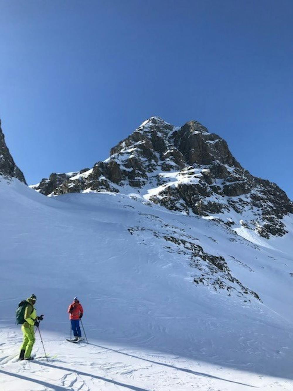
Small Ski tour or bootpack leads to a 13 km ski descend, however climb is quite steep and takes a good effort to complete
Difficulty
Severe
Steep skiing at 38-45 degrees. This requires very good technique and the risk of falling has serious consequences.
Medium Exposure (E2)

As well as the slope itself, there are some obstacles (such as rock outcrops) which could aggravate injury.
Remoteness
Away from help but easily accessed.
Best time to visit
Features
- Single Descent
- Ski Mountaineering
Equipment required
- Skins
- Crampons