BABADAĞULTRA(SKYRUNNİNG ROTASI)
27-28-29 EKİM-OCTOBER 2023
Trail Running Severe
- Distance
- 15 km
- Ascent
- 2 km
- Descent
- 115 m
- Duration
- 4-5 hrs
- Low Point
- 5 m
- High Point
- 1.9 km
- Gradient
- 15˚

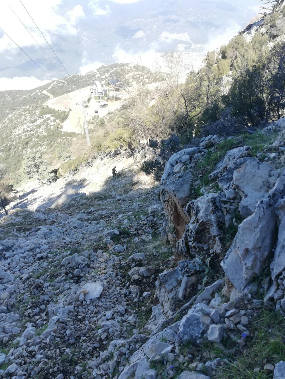
This is a popular trail running route which is generally considered to be severe. It's remote, it features high exposure and is typically done in undefined. From a low point of 5 m to the maximum altitude of 1.9 km, the route covers 15 km, 2048 vertical metres of ascent and 115 vertical metres of descent.
Description
İÇİNDE ÇOK ZOR ETAPLARI BULUNDURUR
Difficulty
Severe
High Exposure

Some trail sections have exposed ledges or steep ascents/descents where falling could cause serious injury.
Remoteness

Away from help but easily accessed.