Çağalın Başı Zirve
Bu rota el ile çizilmiş olup deneme niteliği taşımaktadır.
Alpine Climbing Moderate
- Distance
- 3.3 km
- Ascent
- 729 m
- Descent
- 9 m
- Low Point
- 2.8 km
- High Point
- 3.6 km
- Gradient
- 21˚
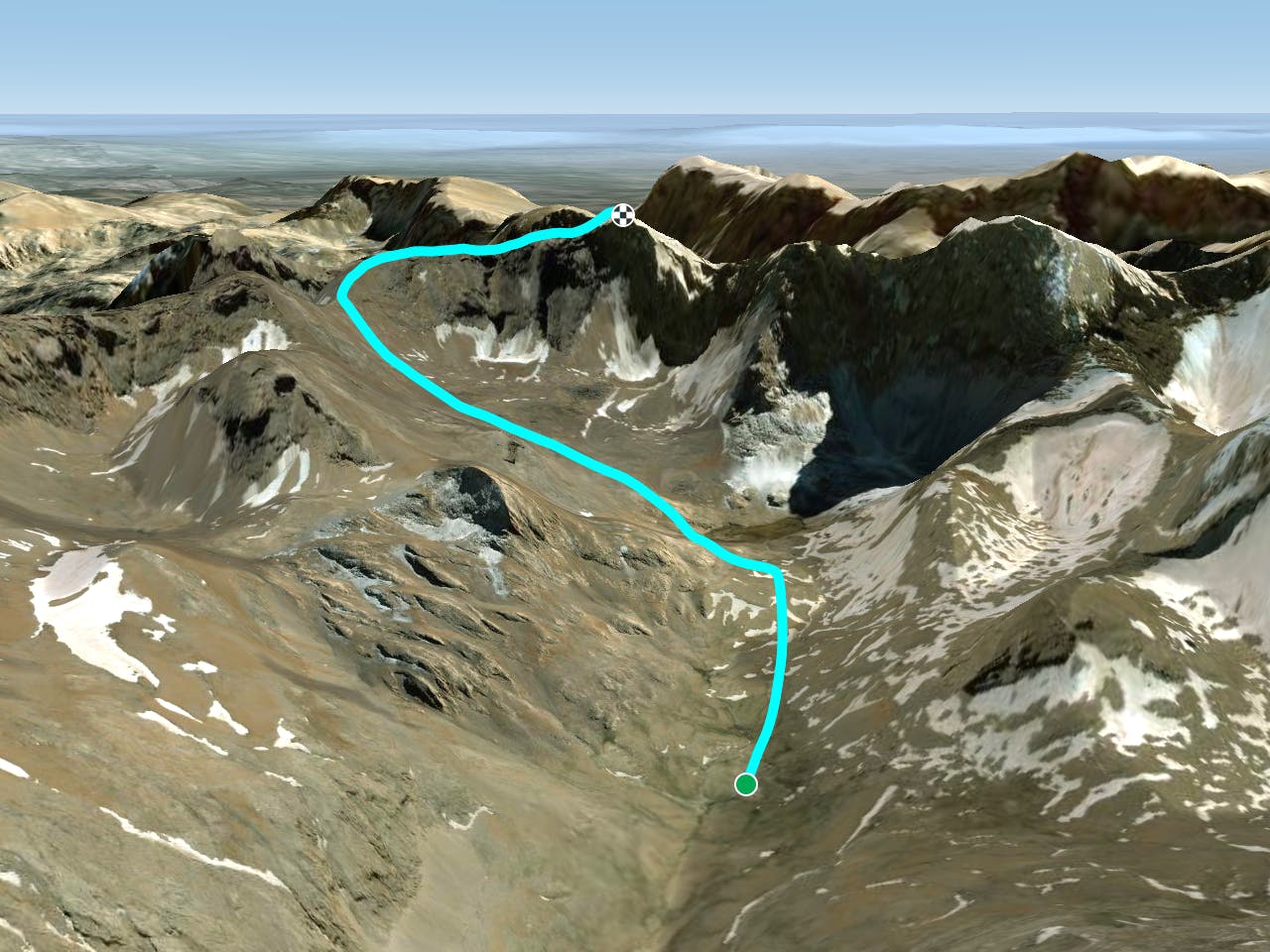
This is a popular alpine climbing route which is generally considered to be moderate. It's extremely remote, it features medium exposure and is typically done between July and August. From a low point of 2.8 km to the maximum altitude of 3.6 km, the route covers 3.3 km, 729 vertical metres of ascent and 9 vertical metres of descent. You'll need quickdraws and wires and friends to complete it safely.
Description
Deneme Amaçlı
Difficulty
Moderate
May involve slightly more complex glacier hikes, easy but possibly long rock ridges and steep snow up to 45 degrees. Equivalent to PD, PD+
Medium Exposure

The route features some exposed and/or difficult to protect sections.
Remoteness

In the high mountains or remote conditions, all individuals must be completely autonomous in every situation.
Best time to visit
Equipment required
- Quickdraws
- Wires and Friends