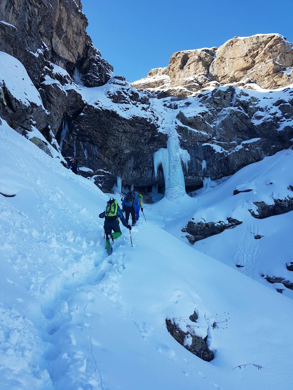
Sütun Şelalesi Approach
Approach of Sütun Şelalesi for ice climbing
Hiking Moderate
- Distance
- 1.8 km
- Ascent
- 309 m
- Descent
- 0 m
- Duration
- 0-1 hrs
- Low Point
- 2 km
- High Point
- 2.3 km
- Gradient
- 11˚

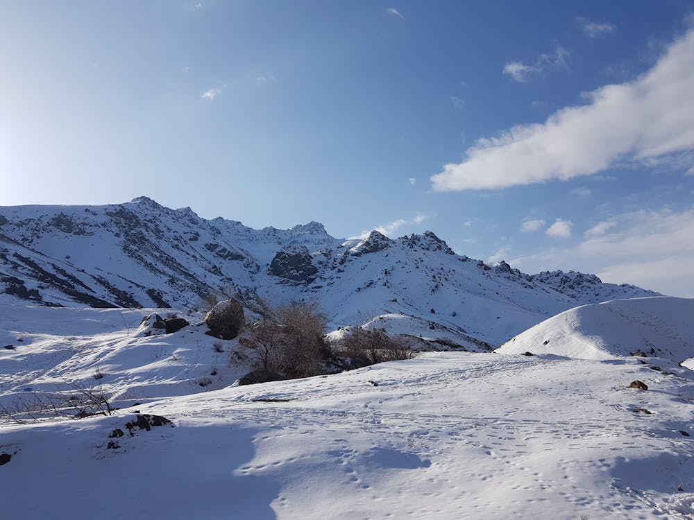
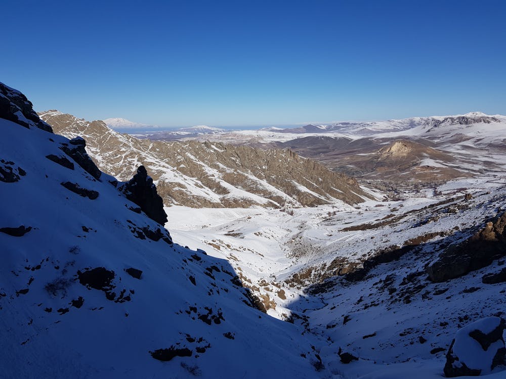
This is a popular hiking route which is generally considered to be moderate. It's remote, it features medium exposure and is typically done between January and March. From a low point of 2 km to the maximum altitude of 2.3 km, the route covers 1.8 km, 309 vertical metres of ascent and 0 vertical metres of descent.
- •
- •
- •
- •
Description
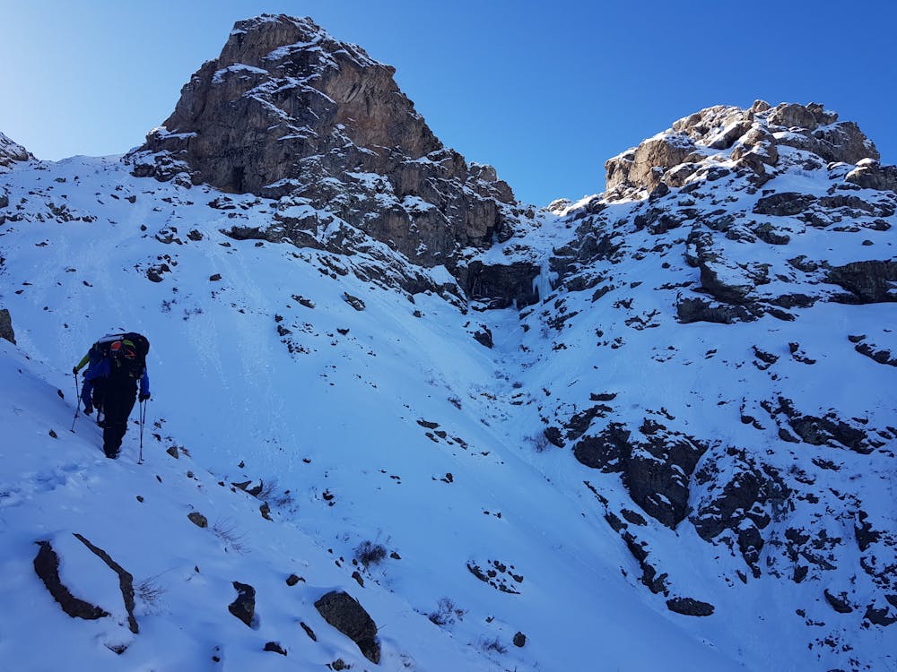
Keep gaining altitude on the left slope of the valley while moving towards south-east. When you are relatively close to waterfall turn your head to south and reach it.
Difficulty
Moderate
Hiking along trails with some uneven terrain and small hills. Small rocks and roots may be present.
Medium Exposure

The trail contains some obstacles such as outcroppings and rock which could cause injury.
Remoteness
Away from help but easily accessed.
Best time to visit
Features
- Water features