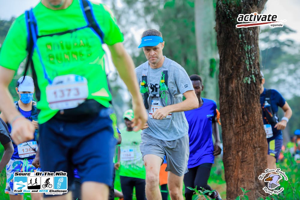
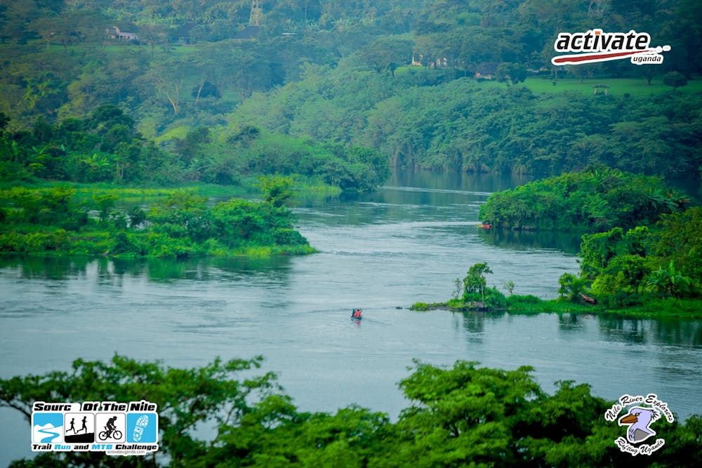
Source of the Nile Trail Run
The route of an annual trail running race called Source of the Nile Run
Trail Running Moderate
- Distance
- 24 km
- Ascent
- 406 m
- Descent
- 407 m
- Duration
- 2-3 hrs
- Low Point
- 1.1 km
- High Point
- 1.2 km
- Gradient
- 3˚

This is a popular trail running route which is generally considered to be moderate. It's not remote, it features low exposure and is typically done all year round. From a low point of 1.1 km to the maximum altitude of 1.2 km, the route covers 24 km, 406 vertical metres of ascent and 407 vertical metres of descent.
- •
- •
Description
This route is an annual trail run race, organised by Activate Uganda. It runs along the banks of the Nile and the communities who live here. Apart from the distance the trails are pretty mellow.
Difficulty
Moderate
Low Exposure

The path is on completely flat land and potential injury is limited to falling over.
Remoteness
Close to help in case of emergency.