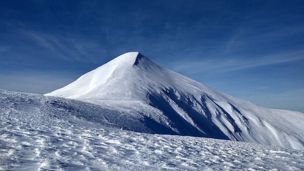
CityBoy Classic - mt.Hoverla and mt.Breskul
Classic locals one day spot, one trip- two mountains
Freeride Skiing Severe
- Distance
- 6.5 km
- Ascent
- 941 m
- Descent
- 942 m
- Low Point
- 1.3 km
- High Point
- 2 km
- Gradient
- 43˚

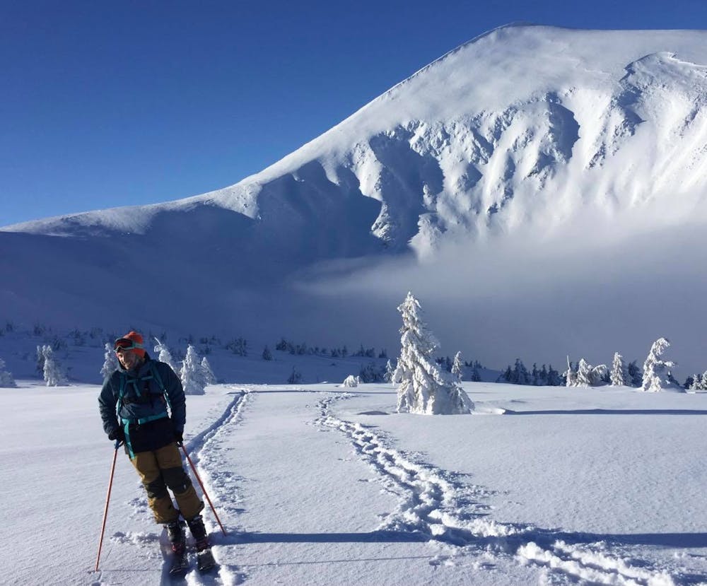
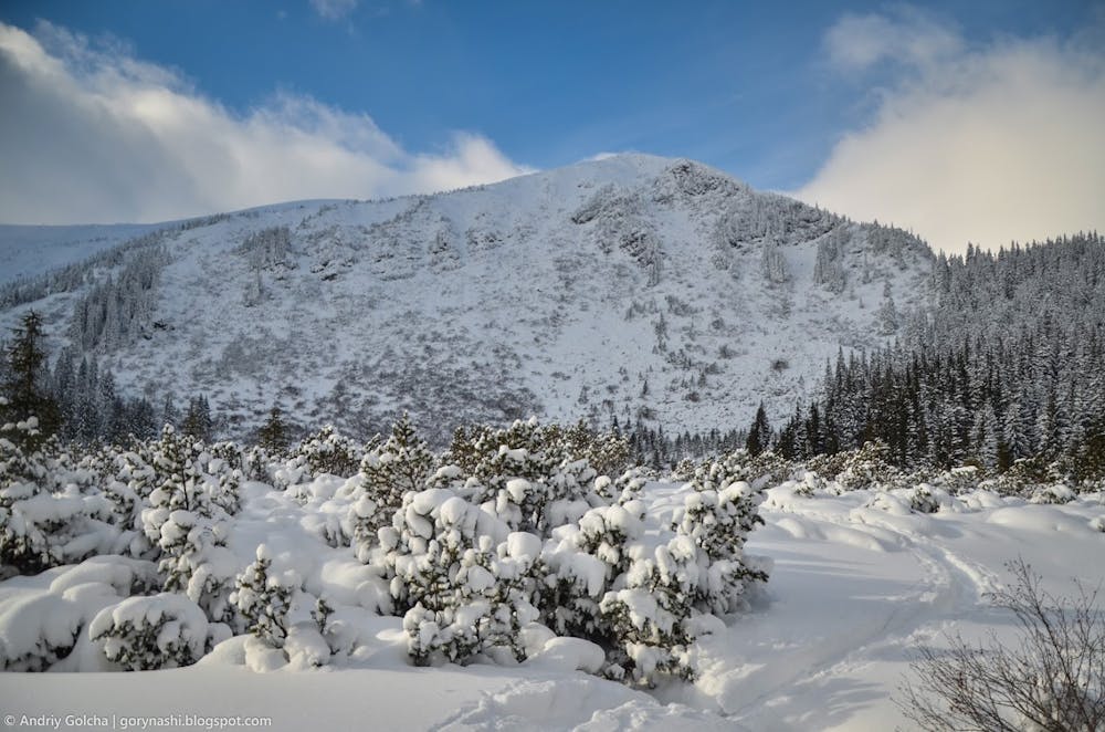
This is a popular freeride skiing route which is generally considered to be severe. It's remote, it features high exposure (e3) and is typically done between January and May. From a low point of 1.3 km to the maximum altitude of 2 km, the route covers 6.5 km, 941 vertical metres of ascent and 942 vertical metres of descent. You'll need rope, skins and crampons to complete it safely.
- •
- •
- •
Description
Classic Freeride route, high avy danger
Difficulty
Severe
Steep skiing at 38-45 degrees. This requires very good technique and the risk of falling has serious consequences.
High Exposure (E3)

In case of a fall, death is highly likely.
Remoteness

Away from help but easily accessed.
Best time to visit
Features
- Face
- Cliffs
- Couloir
Equipment required
- Rope
- Skins
- Crampons