British Columbia
Dragobrat
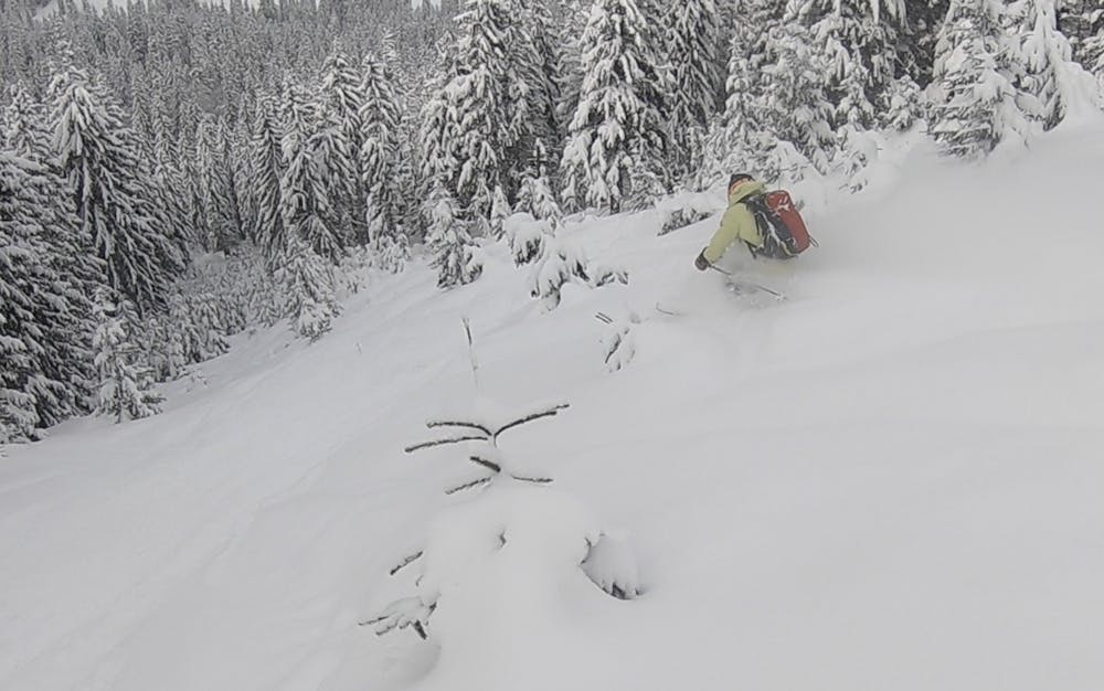
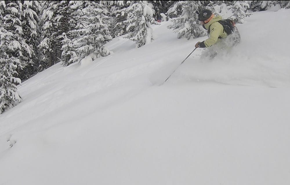
Nice north facing line with short steep forest segments
Freeride Skiing Difficult
- Distance
- 3.7 km
- Ascent
- 205 m
- Descent
- 459 m
- Low Point
- 1.2 km
- High Point
- 1.6 km
- Gradient
- 31˚

This is a popular freeride skiing route which is generally considered to be difficult. It's remote, it features low exposure (e1) and is typically done between February and March. From a low point of 1.2 km to the maximum altitude of 1.6 km, the route covers 3.7 km, 205 vertical metres of ascent and 459 vertical metres of descent. It's graded 2.3 and Labande grade 3. You'll need skins to complete it safely.
- •
- •
Description
Nice north facing line with short steep forest segments, due to north facing and the fact that winds usually blow from the southwest it's possible to find good snow here, but there is a high risk of avalanches due to north exposition and slopes gradient around 25-35 degrees
Difficulty
Difficult
Serious gradient of 30-38 degrees where a real risk of slipping exists.
Low Exposure (E1)

Exposure is limited to that of the slope itself. Getting hurt is still likely if the slope is steep and/or the snow is hard.
Remoteness

Away from help but easily accessed.
Best time to visit
Features
- Face
- Trees
Equipment required
- Skins