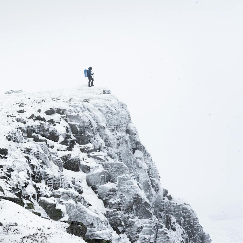
Lochnagar Circuit
Cairngorms National Park
Great circuit route of Lochnagar and back to Loch Muick
Hiking Moderate
- Distance
- 19 km
- Ascent
- 852 m
- Descent
- 852 m
- Duration
- 5-6 hrs
- Low Point
- 395 m
- High Point
- 1.1 km
- Gradient
- 13˚

This is a popular hiking route which is generally considered to be moderate. It's not remote, it features medium exposure and is typically done all year round. From a low point of 395 m to the maximum altitude of 1.1 km, the route covers 19 km, 852 vertical metres of ascent and 852 vertical metres of descent.
Description
A great circuit to experience Lochnagar summits and back to the lodge at Loch Muick where you can walk back to the carpark or even stay the night after a long day out!
Difficulty
Moderate
Hiking along trails with some uneven terrain and small hills. Small rocks and roots may be present.
Medium Exposure

The trail contains some obstacles such as outcroppings and rock which could cause injury.
Remoteness

Close to help in case of emergency.
Best time to visit
Features
- Historical
- Picturesque
- Summit Hike