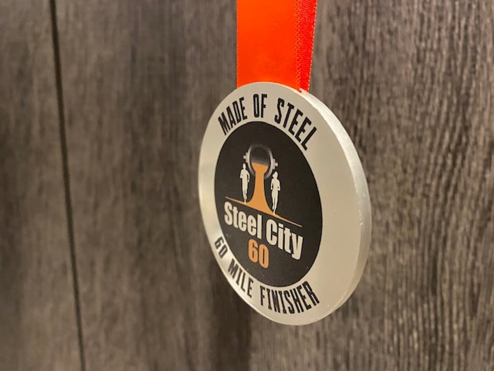
Steel City 60 Final Route
A stunning 60 mile ultra distance trail race round the boundary of Sheffield, traversing trails through South Yorkshire, Derbyshire & the Peak District.
Trail Running Difficult
- Distance
- 97 km
- Ascent
- 1.8 km
- Descent
- 1.8 km
- Duration
- 1 day +
- Low Point
- 27 m
- High Point
- 456 m
- Gradient
- 5˚

This is a popular trail running route which is generally considered to be difficult. It's not remote, it features medium exposure and is typically done between April and May. From a low point of 27 m to the maximum altitude of 456 m, the route covers 97 km, 1759 vertical metres of ascent and 1759 vertical metres of descent.

- •
- •
- •
- •
- •
- •
Description
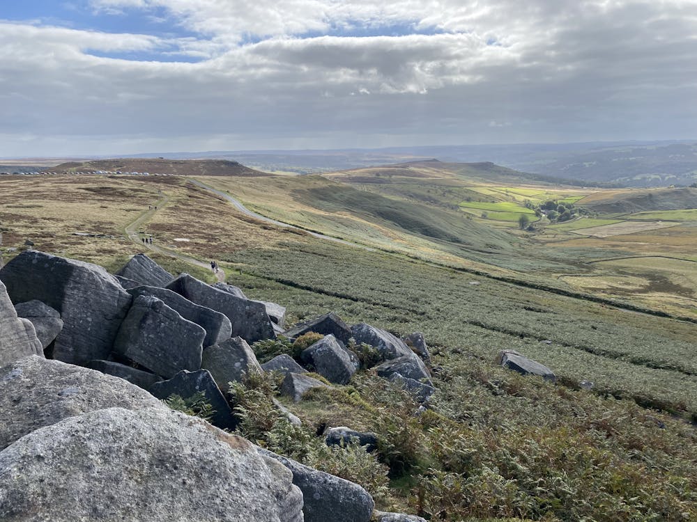
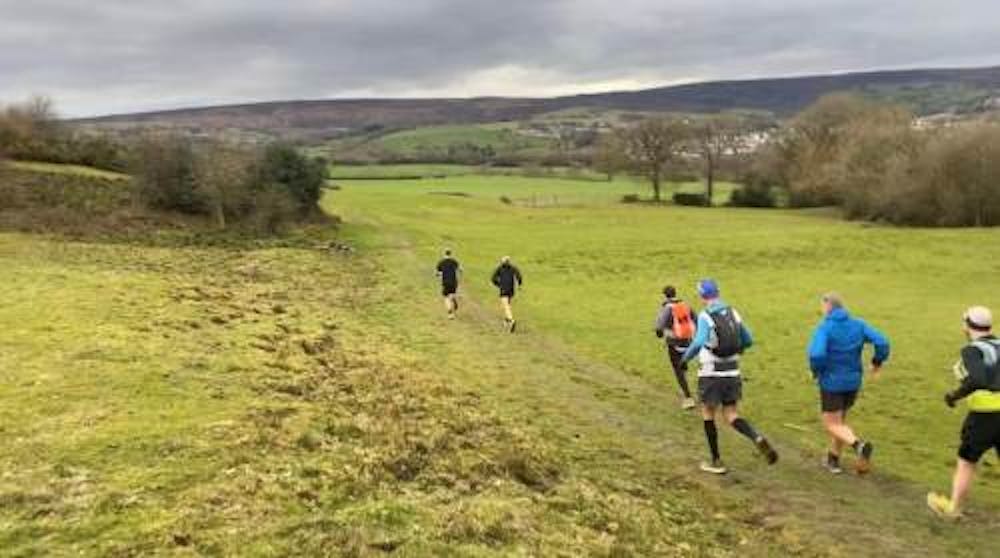
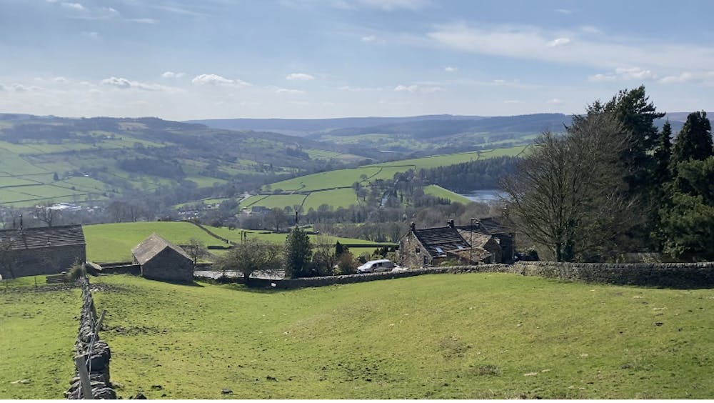
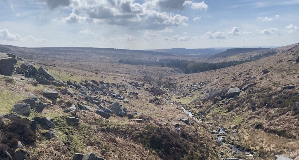
This is a circular boundary trail race of Sheffield, along rivers and canals, through Woodland, Parkland, Moorland, Washlands, Suburbs and Hamlets, whilst traversing challenging terrain through the Peak District. Stunning vistas and views, this route has it all!
Difficulty
Difficult
Medium Exposure

The trail contains some obstacles such as outcroppings and rock which could cause injury.
Remoteness

Close to help in case of emergency.