Steel City 60
A stunning 60 mile ultra distance trail race round the boundary of Sheffield, traversing trails through South Yorkshire, Derbyshire & the Peak District.
Trail Running Difficult
- Distance
- 97 km
- Ascent
- 1.7 km
- Descent
- 1.7 km
- Duration
- 1 day +
- Low Point
- 27 m
- High Point
- 450 m
- Gradient
- 5˚

This is a popular trail running route which is generally considered to be difficult. It's not remote, it features medium exposure and is typically done in undefined. From a low point of 27 m to the maximum altitude of 450 m, the route covers 97 km, 1742 vertical metres of ascent and 1742 vertical metres of descent.
Description
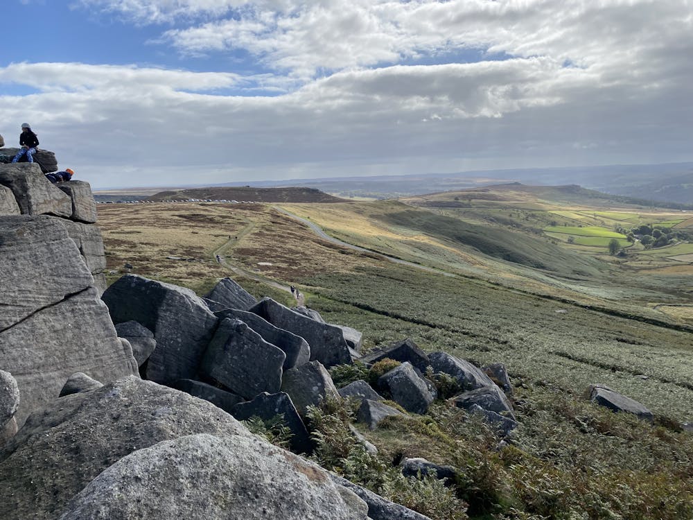
The distance is challenging whilst the terrain is most definitely undulating, particularly the second half, where the trail ascends Totley Moor, Burbage Edge, Stanage Edge, High Bradfield and the famous Jawbone Hill. Are you ready to be Made of Steel?
Difficulty
Difficult
Medium Exposure

The trail contains some obstacles such as outcroppings and rock which could cause injury.
Remoteness

Close to help in case of emergency.