Cray Riverway
The Cray Riverway walk through Bromley.
Also in Bromley, United Kingdom
Hiking Moderate
- Distance
- 19 km
- Ascent
- 125 m
- Descent
- 174 m
- Duration
- 4-5 hrs
- Low Point
- 2 m
- High Point
- 66 m
- Gradient
- 4˚
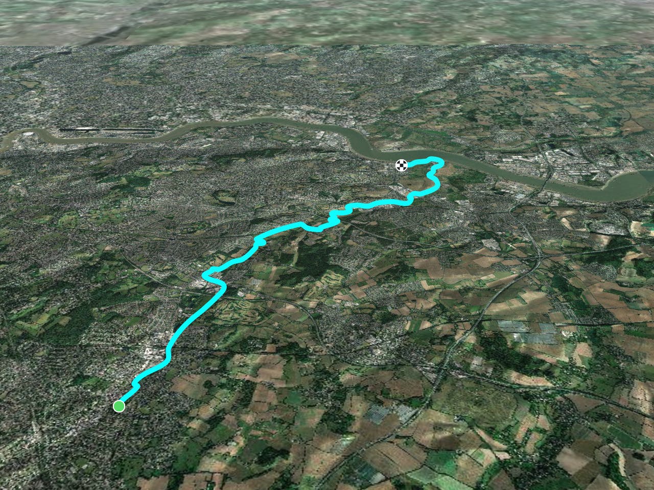
This is a popular hiking route which is generally considered to be moderate. It's an unknown remoteness, it features unknown exposure and is typically done in an unknown time of year. From a low point of 2 m to the maximum altitude of 66 m, the route covers 19 km, 125 vertical metres of ascent and 174 vertical metres of descent.
Description
The walk starts off in Orpington and heads north through Sidcup, Bexley and Crayford where you join the River Darent. The Darent then leads you to the final stretch alongside the River Thames, finishing near Erith.
Difficulty
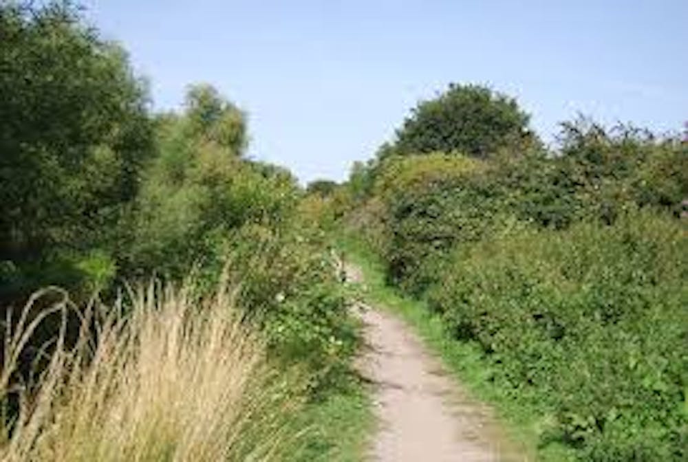
Moderate
Hiking along trails with some uneven terrain and small hills. Small rocks and roots may be present.