Hebden Bridge Western Moors
A big day out with every type of mountain bike riding
Mountain Biking Difficult
- Distance
- 38 km
- Ascent
- 954 m
- Descent
- 954 m
- Duration
- 3-4 hrs
- Low Point
- 101 m
- High Point
- 431 m
- Gradient
- 9˚

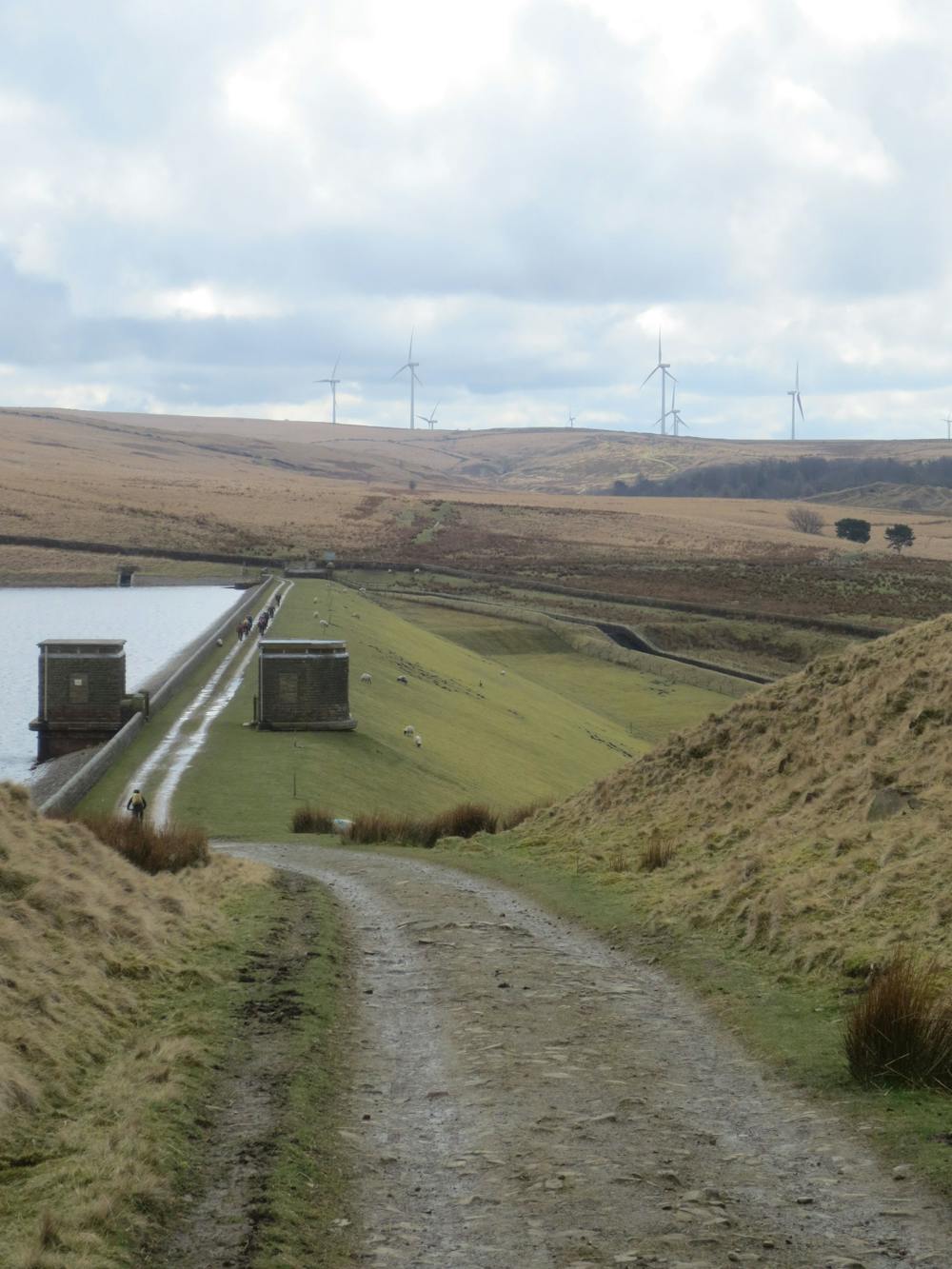
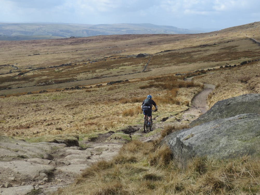
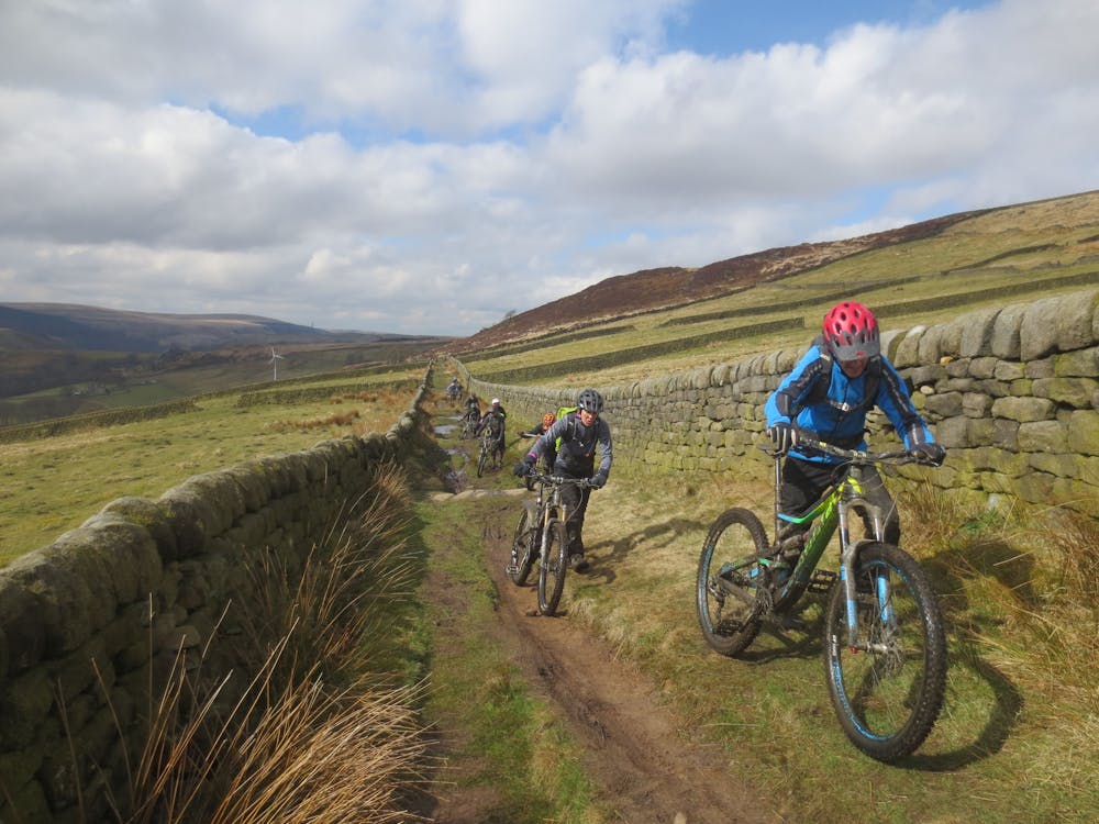
A big day out for most. Lots of easier linking sections on road or canal make the mileage seem high. Go prepared for all types of terrain and weather. Includes a section of the Mary Townley Loop and can have a detour into Hurstwood man made trail. Lots of locally famous singletrack and trail sections.
- •
- •
- •
Difficulty
Difficult
Mostly stable trail tread with some variability featuring larger and more unavoidable obstacles that may include, but not be limited to: bigger stones, roots, steps, and narrow curves. Compared to lower intermediate, technical difficulty is more advanced and grades of slopes are steeper. Ideal for upper intermediate riders.
High Exposure

Some trail sections have exposed ledges or steep ascents/descents where falling could cause serious injury.
Remoteness

Away from help but easily accessed.
Best time to visit
Features
- Technical
- Picturesque
- Singletrack
- Road sections
- Drops
- Roots
- Rock Rolls
- Rock Slabs
- Rock Gardens